@eyesonSDskies (@eyesonsdskies) 's Twitter Profile
@eyesonSDskies

@eyesonsdskies

20 years covering and appreciating weather in San Diego County for San Diego Union-Tribune. Formerly @sdutKrier. Now retired but still keeping eyes on skies.

ID: 1255962203678576641

calendar_today30-04-2020 20:49:36

15,15K Tweet

3,3K Followers

974 Following

@eyesonSDskies (@eyesonsdskies) 's Twitter Profile Photo

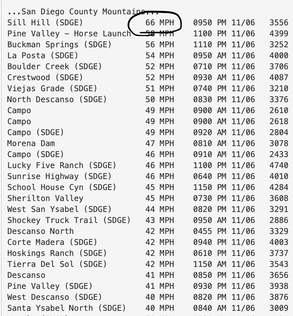
The peak gust in San Diego County this round was 66 mph at Sill Hill, which is often the county's windiest spot during a Santa Ana. Sill Hill is west of Cuyamaca Peak. Fremont Canyon in OC had a gust of 79 mph. #sandiegoweather #CAwx

The peak gust in San Diego County this round was 66 mph at Sill Hill, which is often the county's windiest spot during a Santa Ana. Sill Hill is west of Cuyamaca Peak. Fremont Canyon in OC had a gust of 79 mph. #sandiegoweather #CAwx
@eyesonSDskies (@eyesonsdskies) 's Twitter Profile Photo

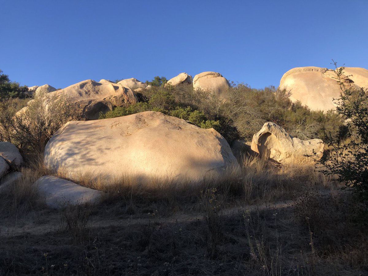
Clear skies, dry air & bright afternoon sunlight seemed to make the boulders bolder at Escondido’s Daley Ranch today. Only a faint breeze after a couple of days of Santa Ana winds. Despite the calmer winds, a red flag warning remains in effect until 7 p.m. #sandiegoweather #CAwx

Clear skies, dry air & bright afternoon sunlight seemed to make the boulders bolder at Escondido’s Daley Ranch today. Only a faint breeze after a couple of days of Santa Ana winds. Despite the calmer winds, a red flag warning remains in effect until 7 p.m. #sandiegoweather #CAwx
@eyesonSDskies (@eyesonsdskies) 's Twitter Profile Photo

Once the winds died down, the temperate dropped in many spots. Lows this a.m.: Carlsbad, 46; Chula Vista, 45; Oceanside, 36; San Diego, 46; Alpine, 40; Escondido, 43; El Cajon, 39; Ramona, 36; Valley Center, 34; Lake Cuyamaca, 38; Mount Laguna, 34. #sandiegoweather #CAwx

SeenEnoughAlready (@xperienced_) 's Twitter Profile Photo

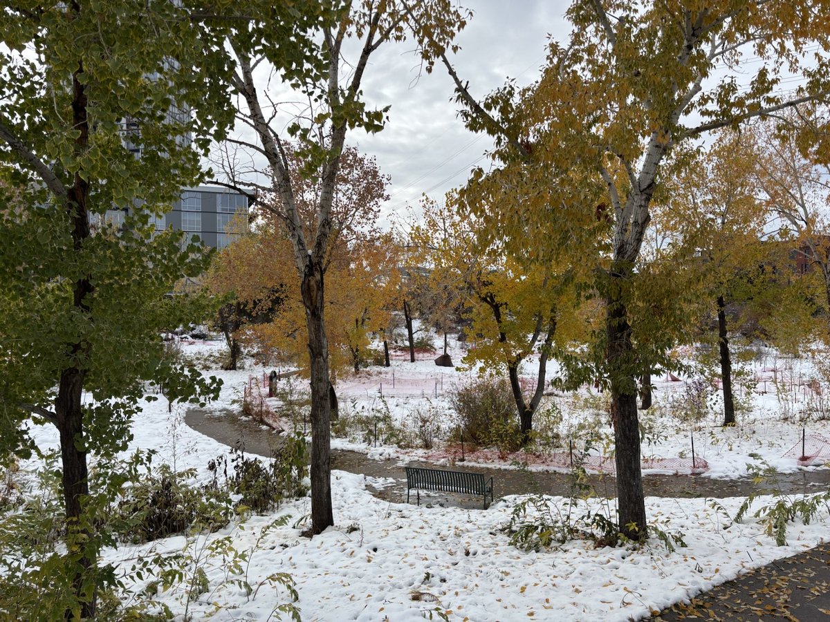
So glad I left last Sunday instead of this one because I left from northwest Colorado Springs and went through southern Colorado to Albuquerque on my way home. Siblings in the Springs area said they had a ton of snow when they usually don't get much.

@eyesonSDskies (@eyesonsdskies) 's Twitter Profile Photo

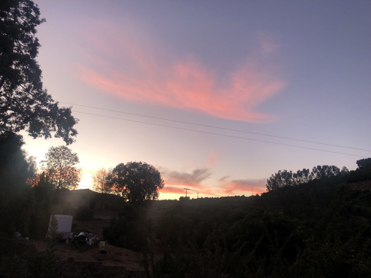
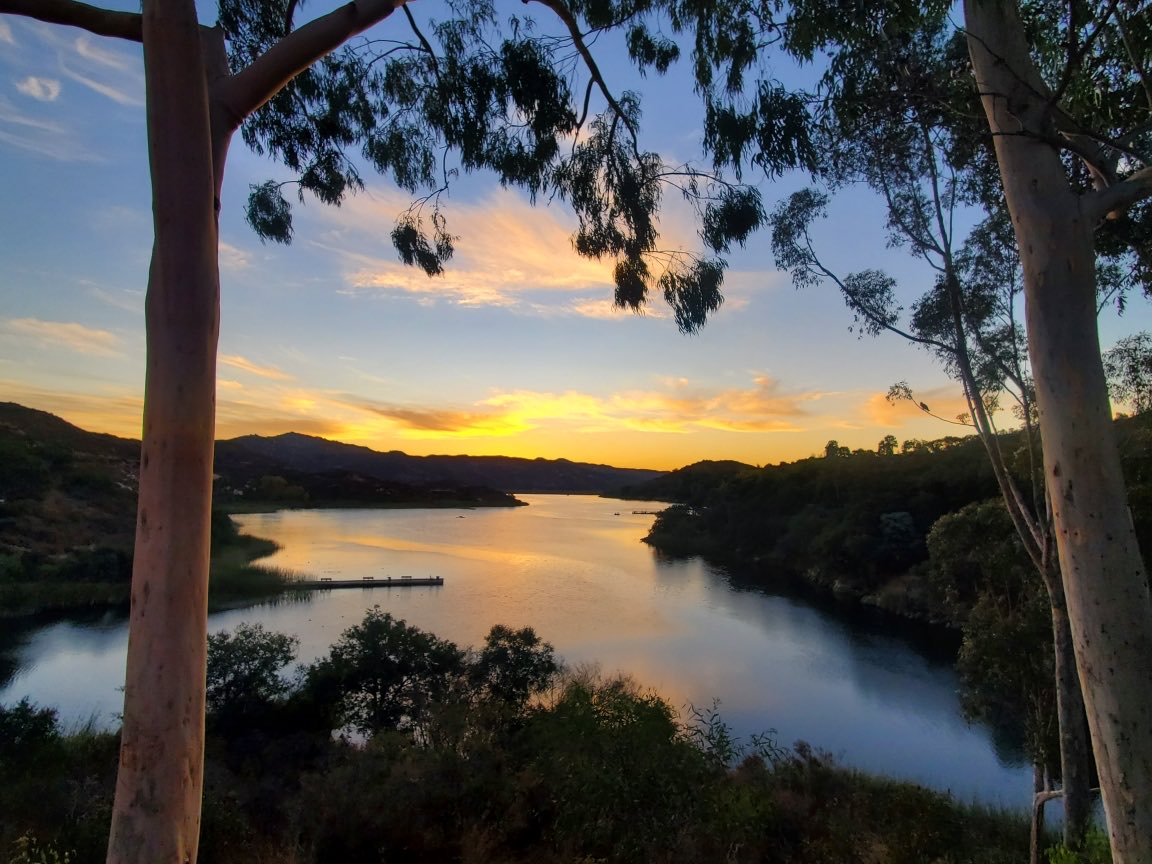
High clouds suitable for a nice sunrise we’re in the east this morning. The weather service says we can look forward to another day in the upper 70s inland, low 70s at the coast. Slightly cooler Monday, then a weak Santa Ana Tuesday & Wednesday. #sandiegoweather #CAwx

High clouds suitable for a nice sunrise we’re in the east this morning. The weather service says we can look forward to another day in the upper 70s inland, low 70s at the coast. Slightly cooler Monday, then a weak Santa Ana Tuesday & Wednesday. #sandiegoweather #CAwx
@eyesonSDskies (@eyesonsdskies) 's Twitter Profile Photo

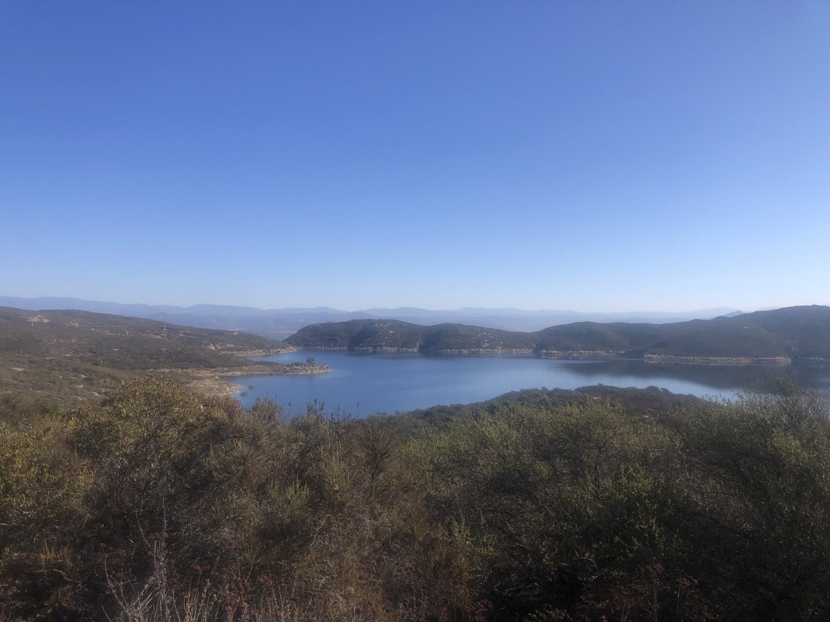
The Olivenhain Reservoir this morning, off the Elfin Forest Trail in North County. Ideal temperature, wind-free hiking conditions. #sandiegoweather #CAwx

The Olivenhain Reservoir this morning, off the Elfin Forest Trail in North County. Ideal temperature, wind-free hiking conditions. #sandiegoweather #CAwx
UC Berkeley Central Sierra Snow Lab (@ucb_cssl) 's Twitter Profile Photo

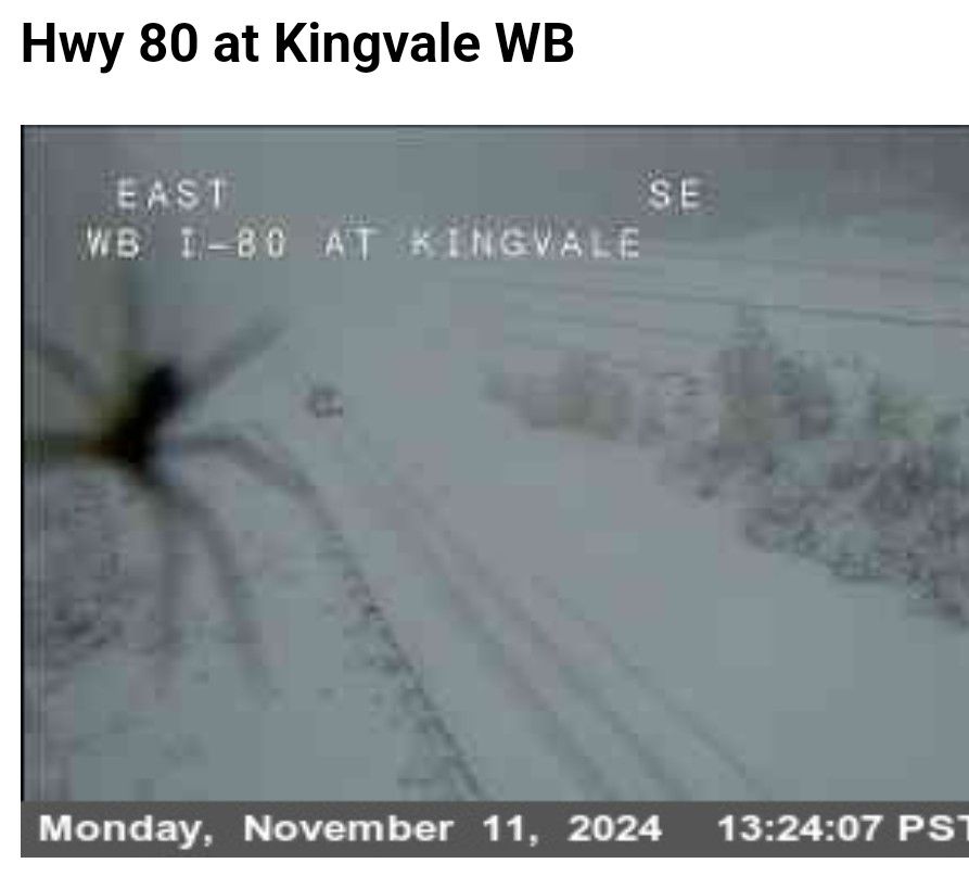
We were expecting the snow, we were expecting bad roads and possible closures, but giant snow spiders are just too much! #ScaryWinterWeather #Snow #JustASnowflakeWith2ExtraBranches

We were expecting the snow, we were expecting bad roads and possible closures, but giant snow spiders are just too much!

#ScaryWinterWeather #Snow #JustASnowflakeWith2ExtraBranches
Jan Null (@ggweather) 's Twitter Profile Photo

A fairly fast-moving cold front dropped through the Bay Area this morning with most (non-orographic) sites recording between 0.25" and 0.50"

UC Berkeley Central Sierra Snow Lab (@ucb_cssl) 's Twitter Profile Photo

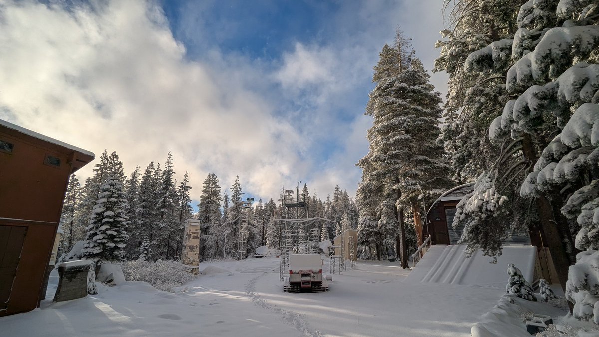
11/12/24 8am UPDATE: We saw some heavy snowfall rates yesterday that contributed to 6.3" (16 cm) of new snow. There is more on the way each day for the rest of the week with potential totals of 7-14" by Saturday. Pic during a break in the clouds yesterday. #CAwx #CAwater

11/12/24 8am UPDATE: 

We saw some heavy snowfall rates yesterday that contributed to 6.3" (16 cm) of new snow. There is more on the way each day for the rest of the week with potential totals of 7-14" by Saturday.

Pic during a break in the clouds yesterday.

#CAwx #CAwater
@eyesonSDskies (@eyesonsdskies) 's Twitter Profile Photo

After 10 years tweeting for the S.D. Union-Tribune & 4+ years here as @eyesonSDskies, I'm migrating to the more aptly named (for a weather writer) Bluesky. Follow there at: @eyesonSDskies.bsky.social. Let's keep up the conversation about climate & local weather & share images.

@eyesonSDskies (@eyesonsdskies) 's Twitter Profile Photo

My migration to Bluesky is nearing completion. You can find me there at @eyesonSDskies.bsky.social, or do a search for Robert Krier. Below is parting image from Middle Peak near Lake Cuyamaca last Thursday. Many more sky, nature and weather photos & info to be found there.
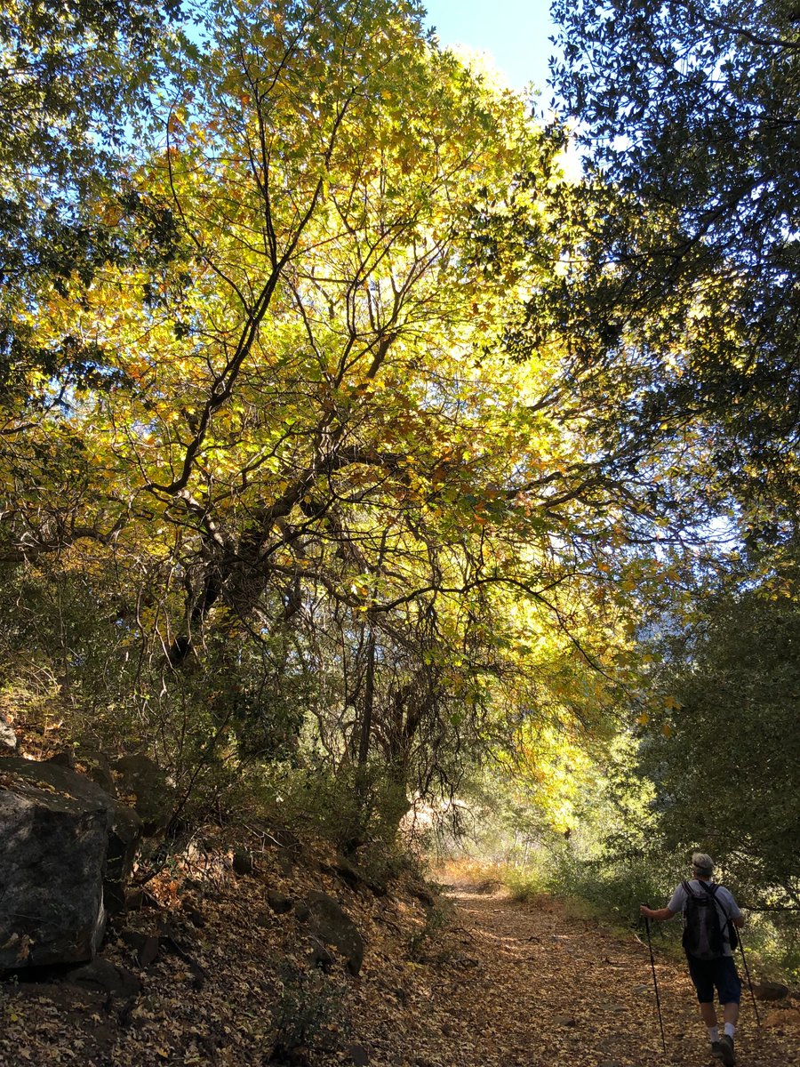
My migration to Bluesky is nearing completion. You can find me there at <a href="/eyesonsdskies/">@eyesonSDskies</a>.bsky.social,  or do a search for Robert Krier. Below is parting image from Middle Peak near Lake Cuyamaca last Thursday. Many more sky, nature and weather photos &amp; info to be found there.