
Erika Delgado
@erikadelgadowx
Meteorologist at @WSVN - Fox Affiliate in South Florida. Keeping my head in the clouds & keeping you weather-aware!
ID: 202171121
https://www.facebook.com/ErikaDelgadoWeather/ 13-10-2010 13:17:20
19,19K Tweet
9,9K Followers
617 Following

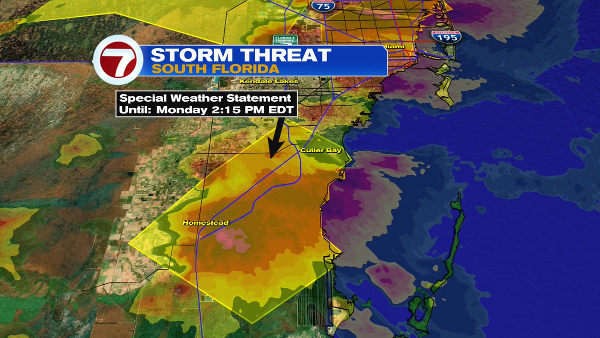
Strong thunderstorm sitting just west of Miami-Dade metro capable of producing wind gusts of 45-50mph & hail of about a half-inch in size. Storm moving Northeast towards Miami-Dade & Broward. WSVN 7 News @7weather

Strong thunderstorm sitting just west of Miami-Dade metro capable of producing wind gusts of 45-50mph & hail of about a half-inch in size. Storm moving Northeast towards Miami-Dade & Broward. WSVN 7 News @7weather


Strong thunderstorm near Homestead capable of producing wind gusts of 45-50mph and hail about a half inch in size. Storm barely moving. WSVN 7 News @7weather

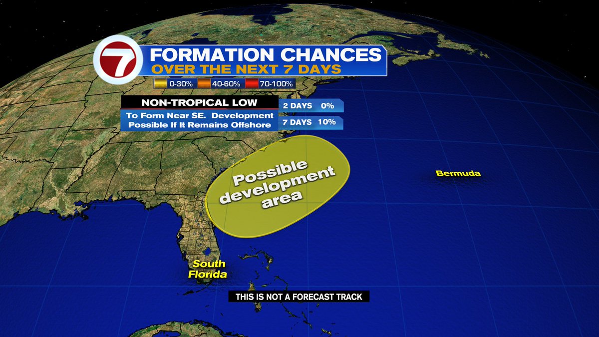
2PM TROPICS OUTLOOK: A non-tropical area of low pressure is forecast to form near the coast of the Southeastern U.S. later this week. Some development will be possible if the future low remains offshore while moving NE. WSVN 7 News @7weather

2 FLOOD ADVISORIES have been issued for metro and coastal areas of Miami-Dade until 4:30pm. WSVN 7 News @7weather


Pack the patience this afternoon. Rain & storms sitting over us, making for a slow commute across SoFlo roadways. WSVN 7 News @7weather


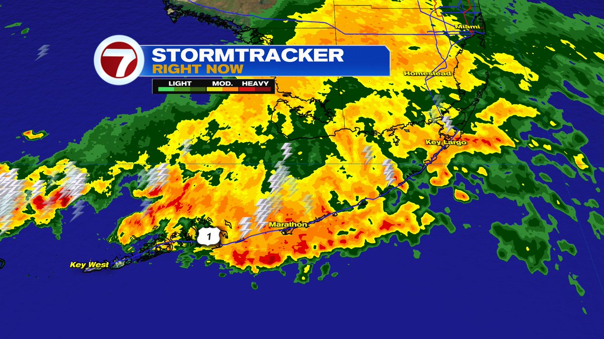
1:47pm - Light to moderate rainfall across Miami-Dade & portions of Broward while stationary storms remain near the FL Keys. WSVN 7 News @7weather

TUESDAY 2PM TROPICS OUTLOOK: A non-tropical area of low pressure is forecast to form later this week along a front draped across FL. Some development is possible as it drifts NE near the Southeastern U.S. *if* it remains offshore. WSVN 7 News @7weather


A STREET FLOOD ADVISORY remains in place for some of the communities of the Upper FL Keys until 6:45pm. This includes Key Largo, Tavernier & Plantation Key. WSVN 7 News @7weather


South Florida temperatures rain-cooled this afternoon. Miami and Key West currently seeing their coolest temperatures of the day today,...at 4:35pm. WSVN 7 News @7weather


The FLOOD WATCH issued for Miami-Dade & Broward has been canceled. WSVN 7 News @7weather


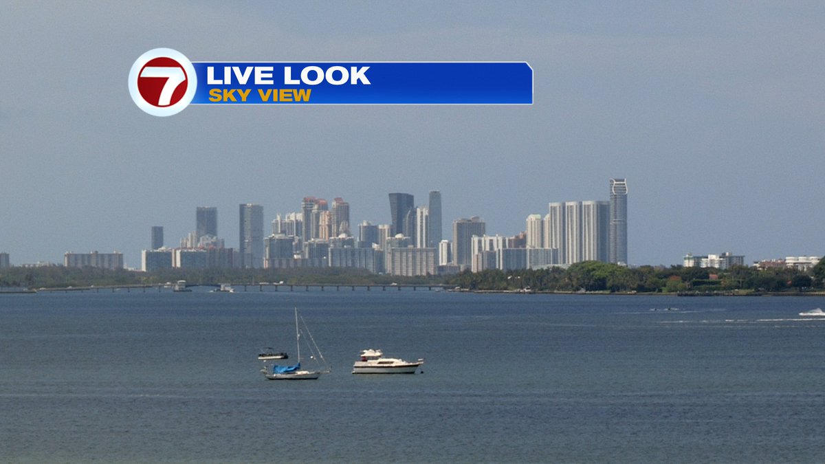
Blue skies return to South Florida as Saharan dust exits the region. WSVN 7 News @7weather

1:18pm - Showers & thunderstorms have mainly pushed west of metro Miami-Dade & Broward while they continue to push from SE to NW across the Upper and Middle FL Keys. WSVN 7 News @7weather
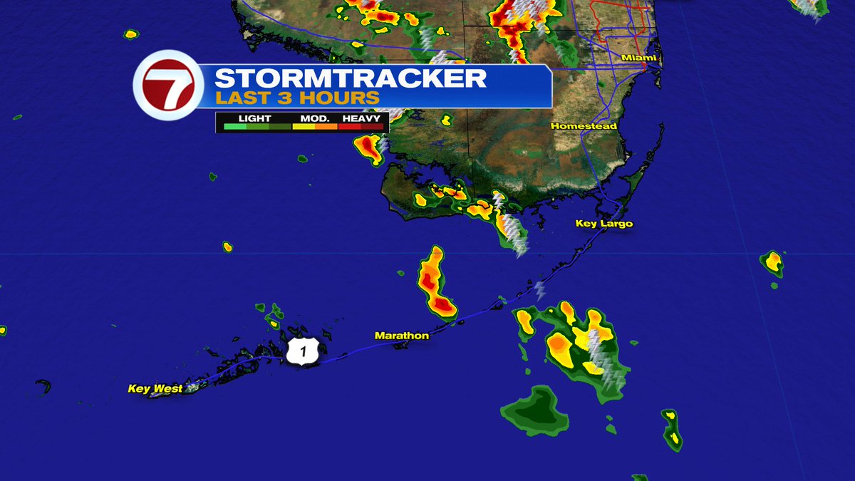

3:10pm - Showers & thunderstorms over the FL Straits moving NW towards the FL Keys. Gusty winds and heavy downpours possible offshore. WSVN 7 News @7weather


3:23pm - Most of South Florida remaining dry this afternoon. Watching a few isolated showers moving WNW across waters of the FL Keys. WSVN 7 News @7weather
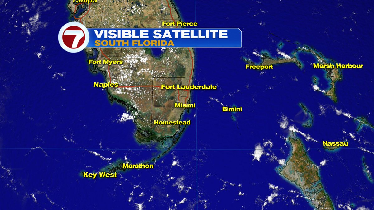


3:52pm - Storms focused across interior sections of SoFlo. Showers sitting offshore are drifting closer to coastal Broward. WSVN 7 News @7weather


![Erika Delgado (@erikadelgadowx) on Twitter photo Hazy but [finally] bright across South Florida today. <a href="/wsvn/">WSVN 7 News</a> @7weather Hazy but [finally] bright across South Florida today. <a href="/wsvn/">WSVN 7 News</a> @7weather](https://pbs.twimg.com/media/GsyHOwgWgAIgt8d.jpg)

