Batuhan Osmanoglu (@batuosmanoglu) 's Twitter Profile
Batuhan Osmanoglu

@batuosmanoglu

Research scientist at @NASAGoddard. My opinions are my own and this is not an official NASA page.πŸ˜‰

ID: 3361756637

calendar_today06-07-2015 03:15:35

54 Tweet

26 Followers

81 Following

NASA JPL (@nasajpl) 's Twitter Profile Photo

A powerful new space mission will track our changing Earth in fine detail 🌏 The joint NASA-@ISRO mission – called #NISAR – will give us insight into what triggers earthquakes, volcanoes, landslides, and other natural hazards. It’s set to launch from India in coming months.

Christa Peters-Lidard (@drchristapl) 's Twitter Profile Photo

NASA/GSFC/GISS Postdoctoral Program opportunity: Earth Science: Land Water Distribution with Changing Climate: Flows between Lakes, Rivers, Soils, Vegetation, and Atmosphere zintellect.com/Opportunity/De… Deadline:Β  March 1, 2024 Young Hydrologic Society AMS Committee on Hydrology AGU Hydrology H3S GEWEX

Dr. Nicky Fox (@nasascienceaa) 's Twitter Profile Photo

NASA has selected four proposals for concept studies of new ARCHIVED - NASA Climate missions! From studying greenhouse gases to global changes in ice and glaciers, each investigation will help gather the data needed to confront our changing climate and its impacts: go.nasa.gov/4b5ff3a
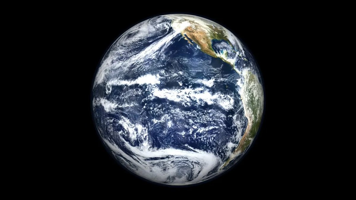
NASA has selected four proposals for concept studies of new <a href="/NASAClimate/">ARCHIVED - NASA Climate</a> missions! 

From studying greenhouse gases to global changes in ice and glaciers, each investigation will help gather the data needed to confront our changing climate and its impacts: go.nasa.gov/4b5ff3a
NASAEarthdata (@nasaearthdata) 's Twitter Profile Photo

πŸš€ Using NASA's SAR data just got easier! Our Sentinel-1 SAR radiometric terrain corrected products are now fully compatible with GIS software & optical imagery. Plug-and-play with ease! 🌍 Learn more: go.nasa.gov/41uDxBs

πŸš€ Using NASA's SAR data just got easier! Our Sentinel-1 SAR radiometric terrain corrected products are now fully compatible with GIS software &amp; optical imagery. Plug-and-play with ease! 🌍 Learn more: go.nasa.gov/41uDxBs
NASA JPL (@nasajpl) 's Twitter Profile Photo

NISAR, a NASA-@ISRO mission, is scheduled to launch this spring, but what will it do? Meet the lead U.S. scientist on the mission, Paul Rosen, who tells us how this mission will help us better understand Earth's changing land and ice surfaces. 🌏 go.nasa.gov/4h1n2Bn

NISAR, a <a href="/NASA/">NASA</a>-@ISRO mission, is scheduled to launch this spring, but what will it do?

Meet the lead U.S. scientist on the mission, Paul Rosen, who tells us how this mission will help us better understand Earth's changing land and ice surfaces. 🌏 go.nasa.gov/4h1n2Bn
NASA JPL (@nasajpl) 's Twitter Profile Photo

Learn more about NISAR, a first-of-a-kind dual-band radar satellite mission and the culmination of five decades of work ⬇️

NASA JPL (@nasajpl) 's Twitter Profile Photo

Launching this spring, the NISAR satellite will map our planet with incredible detail, measuring the motion of Earth's surface down to fractions of an inch. How exactly does it work? Let’s dive in.

Launching this spring, the NISAR satellite will map our planet with incredible detail, measuring the motion of Earth's surface down to fractions of an inch.

How exactly does it work? Let’s dive in.
NASA JPL (@nasajpl) 's Twitter Profile Photo

Bring cutting-edge Earth science into the classroom 🌍 Launching this spring, NISAR will track tiny movements in Earth's land and ice surfaces that can help us better understand our planet. Try these activities and lessons to teach students about NISAR: go.nasa.gov/412JyVF

Bring cutting-edge Earth science into the classroom 🌍

Launching this spring, NISAR will track tiny movements in Earth's land and ice surfaces that can help us better understand our planet. Try these activities and lessons to teach students about NISAR: go.nasa.gov/412JyVF
Batuhan Osmanoglu (@batuosmanoglu) 's Twitter Profile Photo

Hey Everyone! I accepted a position to work as a Senior Radar Systems Engineer at Ursa Space Systems. Looking forward to working with you on geospatial insights for global security and commodity markets!