DonegalMaps (@donegalmaps) 's Twitter Profile
DonegalMaps

@donegalmaps

#Mapping Cultural, Heritage, Civic, Roads, Tourism, Investment Services, and other Interesting Things for #Donegal. GIS section, Donegal County Council.🗺️🇮🇪

ID: 2791678226

linkhttp://donegal.maps.arcgis.com calendar_today05-09-2014 10:57:51

13,13K Tweet

5,5K Followers

1,1K Following

DonegalMaps (@donegalmaps) 's Twitter Profile Photo

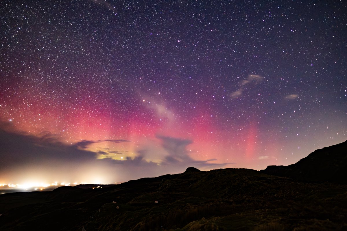
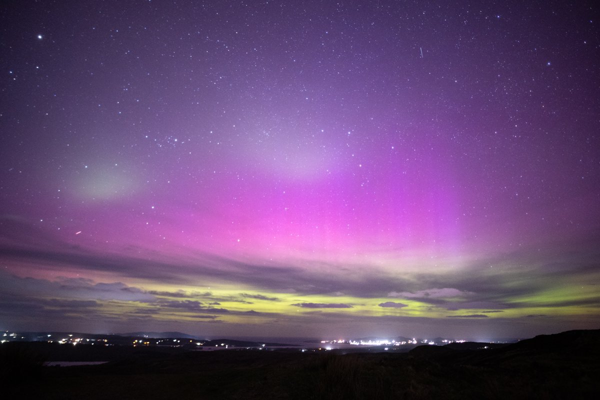
A wee #aurora tonight from Lough Salt, #Donegal 🇮🇪 A small display, mainly hiding behind clouds on the horizon but she was there.

A wee #aurora tonight from Lough Salt, #Donegal 🇮🇪 A small display, mainly hiding behind clouds on the horizon but she was there.
DonegalMaps (@donegalmaps) 's Twitter Profile Photo

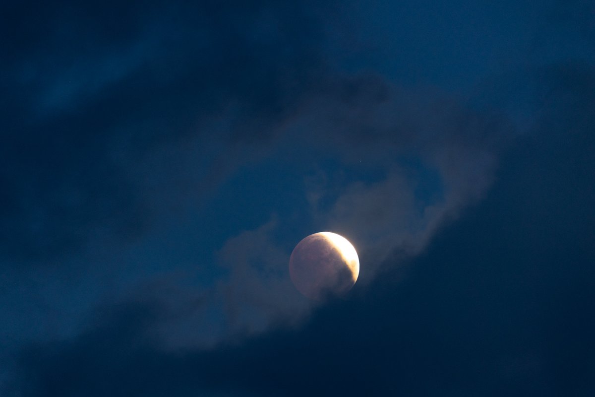
🌑#Eclipse Only got some brief breaks in the clouds to see the Eclipse this morning. From Dunaff Inishowen looking towards Fanad Lighthouse Co. Donegal🇮🇪. Unfortunately, the clouds didn't clear in time to get a better alignment with the lighthouse.

🌑#Eclipse Only got some brief breaks in the clouds to see the Eclipse this morning. From Dunaff Inishowen looking towards Fanad Lighthouse Co. Donegal🇮🇪. Unfortunately, the clouds didn't clear in time to get a better alignment with the lighthouse.
Esri Ireland (@esriireland) 's Twitter Profile Photo

The #CommunityChoiceAward is a chance for you, our community, to vote for the organisation that inspires you the most! 🙌🏼 Cast your vote now: lnkd.in/eXKhcBkC

Donegal County Council (@donegalcouncil) 's Twitter Profile Photo

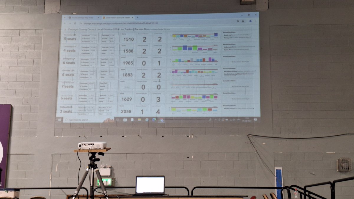
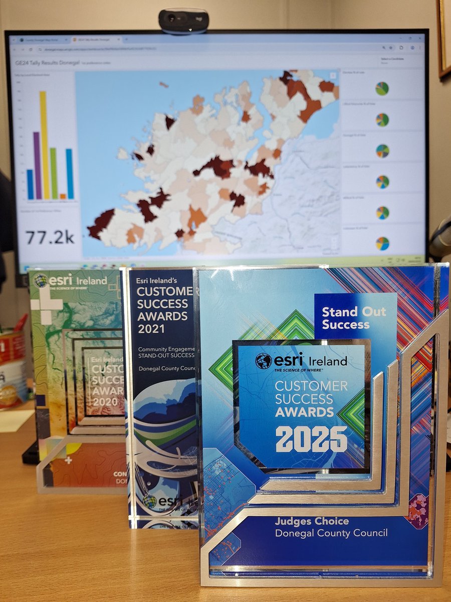
We are delighted to be nominated for a Community Engagement award with @esriireland Customer Success awards 2025 for our Local Election 2024 Hub Vote for us in here storymaps.arcgis.com/stories/5f093a… #Donegal #YourCouncil #MapsMakeSense #MakingaDifference

We are delighted to be nominated for a Community Engagement award with @esriireland Customer Success awards 2025 for our Local Election 2024 Hub

Vote for us in here storymaps.arcgis.com/stories/5f093a…

#Donegal #YourCouncil #MapsMakeSense #MakingaDifference
DonegalMaps (@donegalmaps) 's Twitter Profile Photo

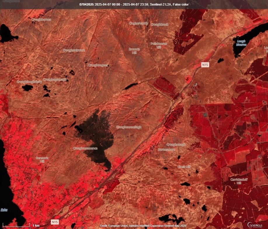
Barnesmore #Donegal wildfire extent as recorded by Sentinel-2 L2A satellite. False Colour image highlight the burnt vegetation. 2nd April & 7th April 2025

Barnesmore #Donegal wildfire extent as recorded by Sentinel-2 L2A satellite. False Colour image highlight the burnt vegetation. 2nd April & 7th April 2025
DonegalMaps (@donegalmaps) 's Twitter Profile Photo

A beautiful #Aurora display at Lough Salt, #Donegal 🇮🇪 last night. Clearly visible to the naked eye. Very clear red colouring in the sky along with a turquoise green layered on top (Proton aurora?) as it subsided before the clouds rolled in.

A beautiful #Aurora display at Lough Salt, #Donegal 🇮🇪 last night. Clearly visible to the naked eye. Very clear red colouring in the sky along with a turquoise green layered on top (Proton aurora?) as it subsided before the clouds rolled in.
DonegalMaps (@donegalmaps) 's Twitter Profile Photo

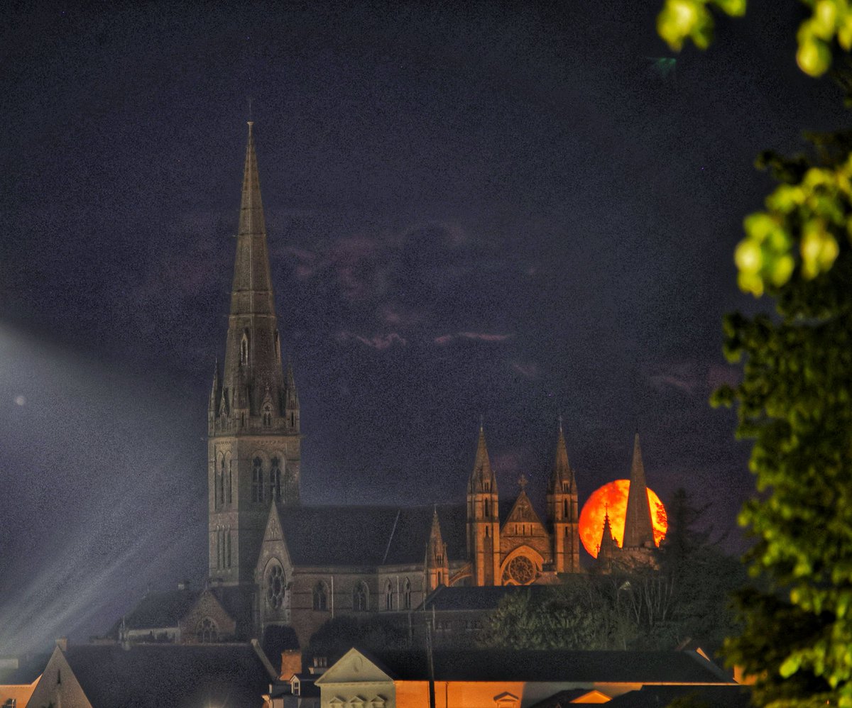
Setting moon made a brief appearance this morning behind St. Eunans cathedral, Letterkenny Co. Donegal #darknessintolight2025

Setting moon made a brief appearance this morning behind St. Eunans cathedral, Letterkenny Co. Donegal #darknessintolight2025
DonegalMaps (@donegalmaps) 's Twitter Profile Photo

I was delighted to attend the Ballybofey, Stranorlar & District historical society monthly meeting to talk about placenames. This is a #BestPractice app of the Interreg Europe #CIVITECProject on Civic engagement tools. donegal.maps.arcgis.com/apps/webappvie…
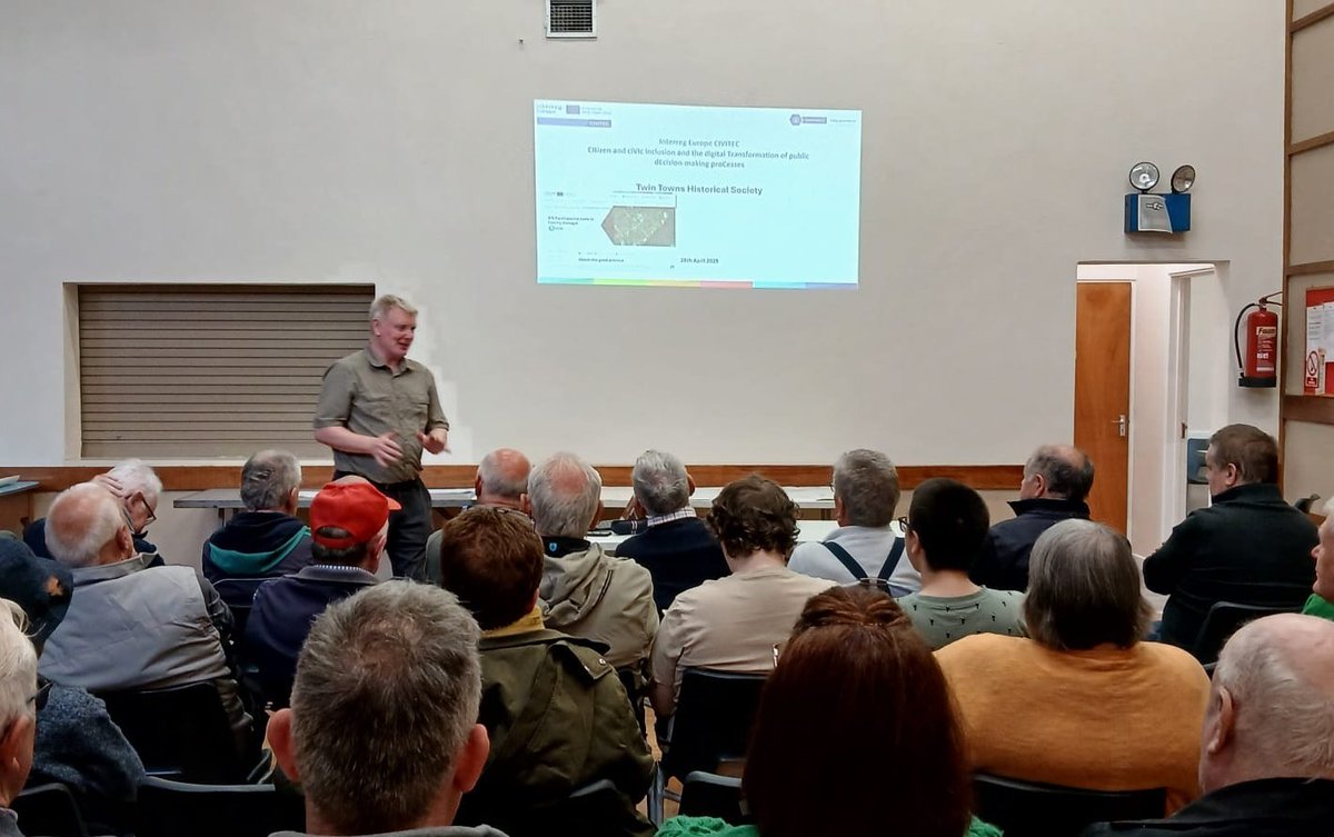
I was delighted to attend the Ballybofey, Stranorlar &amp; District historical society monthly meeting to talk about placenames. This is a #BestPractice app of the <a href="/interregeurope/">Interreg Europe</a> #CIVITECProject on Civic engagement tools. donegal.maps.arcgis.com/apps/webappvie…
DonegalMaps (@donegalmaps) 's Twitter Profile Photo

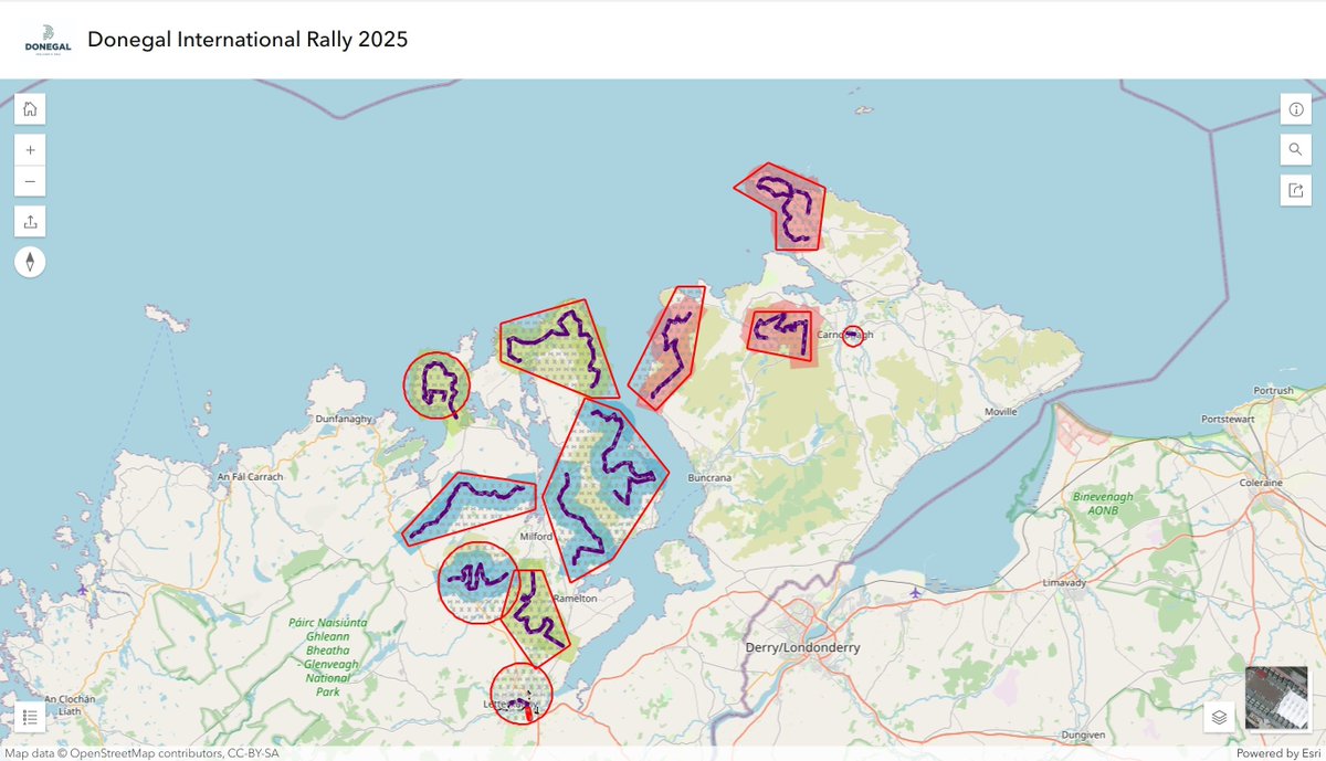
A Temporary Restricted Notice has been issued by IAA to cover areas of the Donegal International Rally this weekend. The flight restriction extends to 2000ft AMSL. These areas are now included in our Rally weekend Road Safety Map. donegal.maps.arcgis.com/apps/instant/i…

A Temporary Restricted Notice has been issued by <a href="/IAApress/">IAA</a> to cover areas of the Donegal International Rally this weekend. The flight restriction extends to 2000ft AMSL. These areas are now included in our Rally weekend Road Safety Map. donegal.maps.arcgis.com/apps/instant/i…
ENAIBLER (@enaibler) 's Twitter Profile Photo

📢 #ENAIBLERproject lead partner ERNACT Network hosted a webinar on using #ArtificialIntelligence responsibly in the public sector under the Data2Sustain EDIH. 👥 60+ professionals joined to explore Ireland’s new AI guidelines for trusted, efficient public services.

DonegalMaps (@donegalmaps) 's Twitter Profile Photo

It's that time of year where I decamp to Glenties for the annual MacGill Summer School. Leave the GIS hat aside and put on the webcasting hat for a few days. All 3 days will be available on donegalcoco.public-i.tv This year's theme is "A Fractured World." Lots to talk about...

It's that time of year where I decamp to Glenties for the annual MacGill Summer School. Leave the GIS hat aside and put on the webcasting hat for a few days. All 3 days will be available on donegalcoco.public-i.tv
This year's theme is "A Fractured World." Lots to talk about...