Storm Chaser Caleb Ivins
@calebivins1
Extreme Storm Chaser
ID: 1425137119379476484
10-08-2021 16:49:20
112 Tweet
139 Followers
82 Following

Flash flooding in Wells county Indiana! Photos near 700W and 1000S! Photos taken at 4:30pm. NWS Northern Indiana multiple roads are still under water.

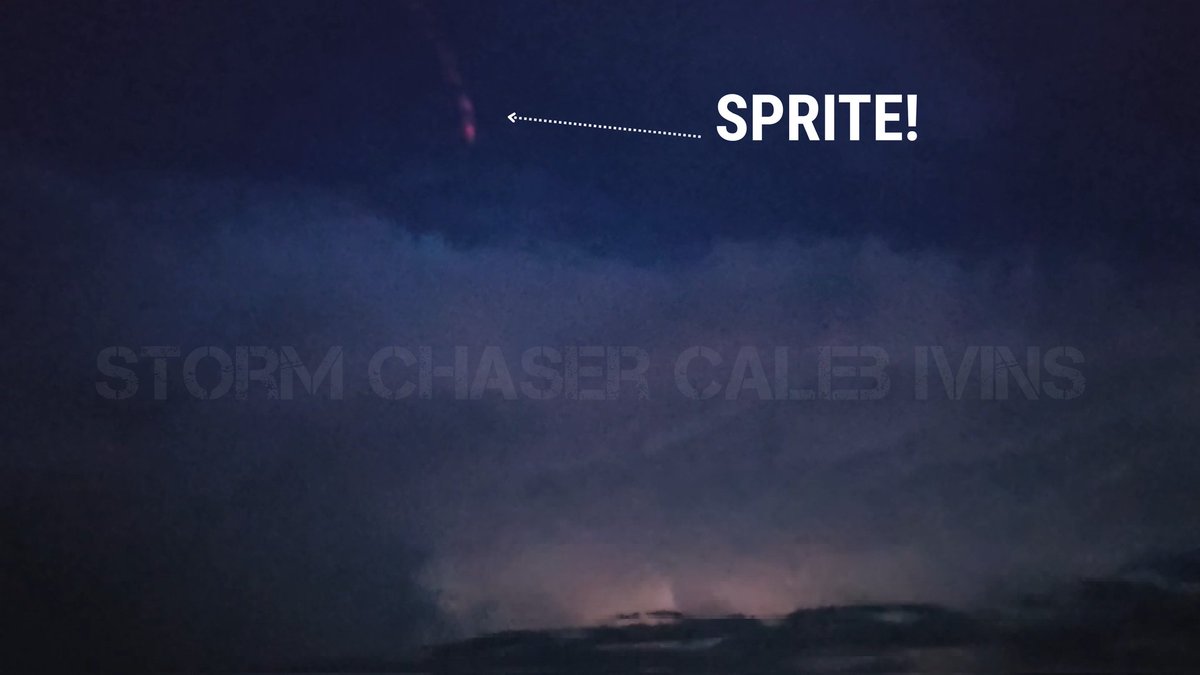
I accidentally captured a Sprite tonight! From Wells county! Sprites (or TLEs) are rare electrical vertical discharges above a thunderstorm, sometimes reaching 50+ miles high! These are triggered by powerful positive cloud to ground lightning strikes! NWS Northern Indiana


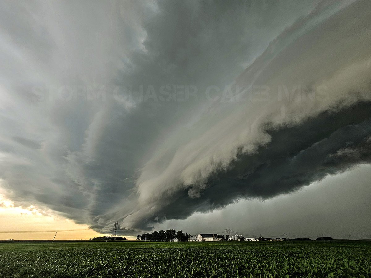
9 years ago today! The surprise tornado outbreak across Northern Indiana, NW Ohio, & Ontario! What was supposed to be a marginal day quickly evolved into anything but thanks to an MCV which moved into the region! These photos were taken from Northern Indiana! #Tornado NWS Northern Indiana

Wow! I recorded a low temperature of 40°F this morning at home base in Bluffton Indiana! That is 3° away from the all time record low for August in Indiana! Messured on a Davis Vantage pro II. NWS Northern Indiana
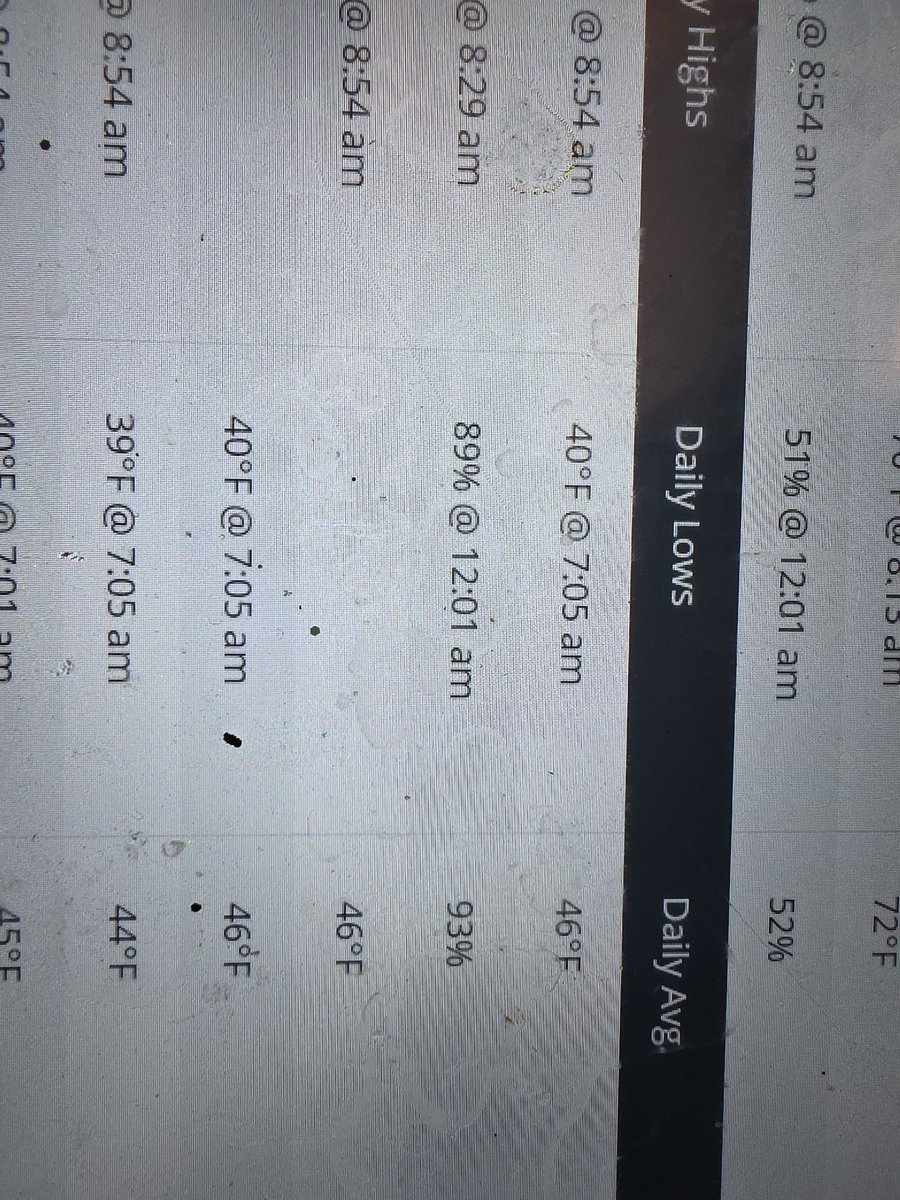


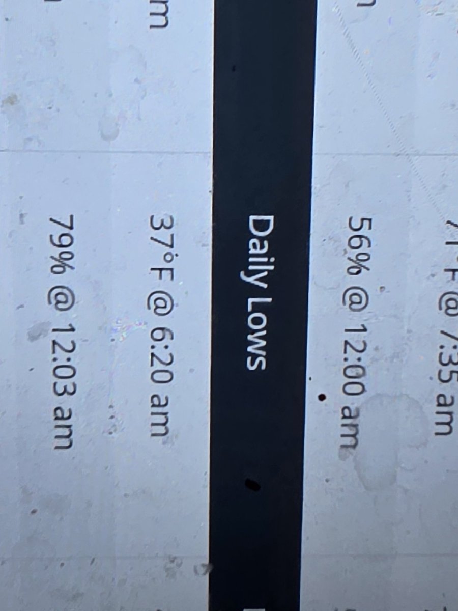
Wow! First frost of the season this morning at home base in Bluffton IN! Although light and only had a formation window of a couple hours it's still frost! Not sure if I was ready to see that yet.... The good news is I won't see it for a while after this am! NWS Northern Indiana

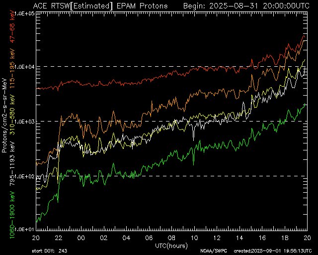
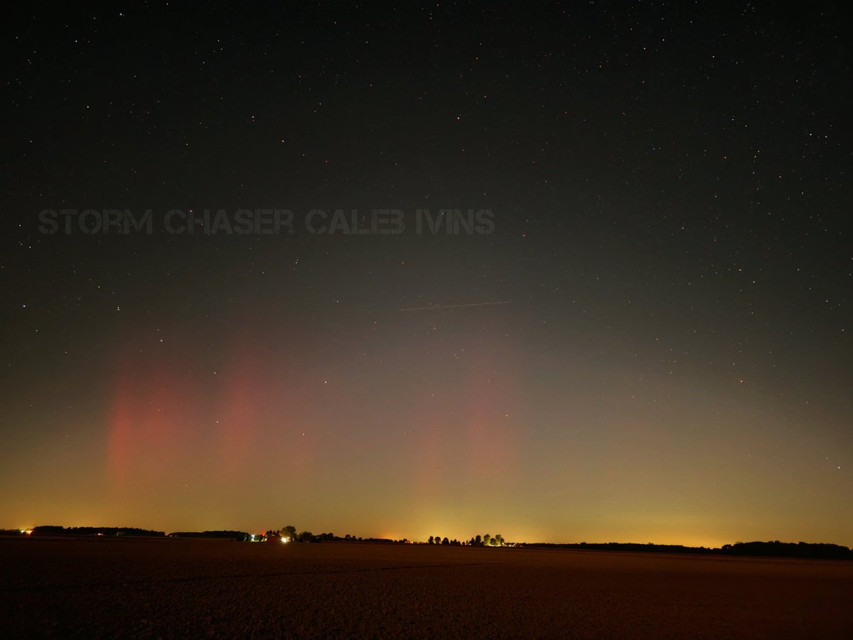
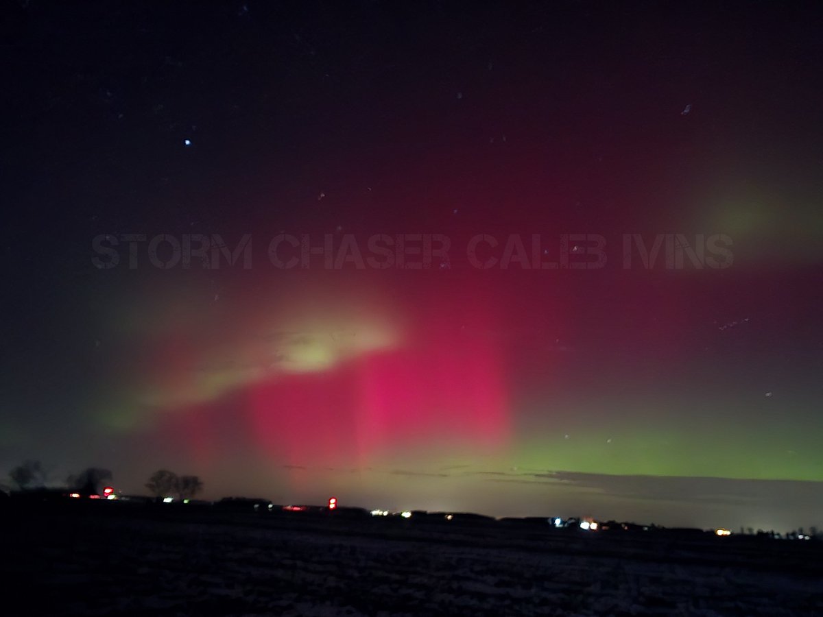
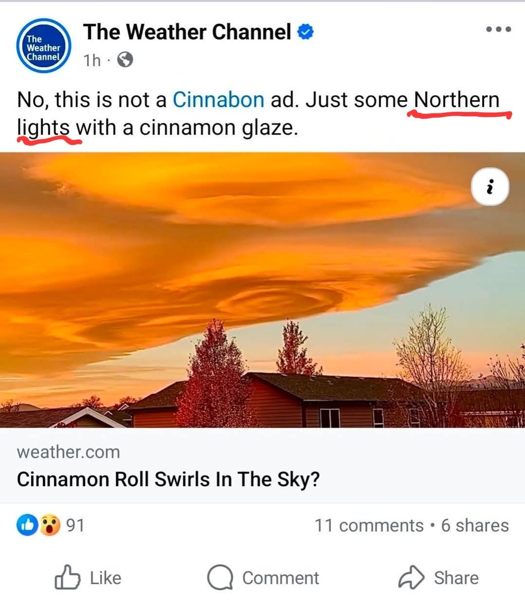
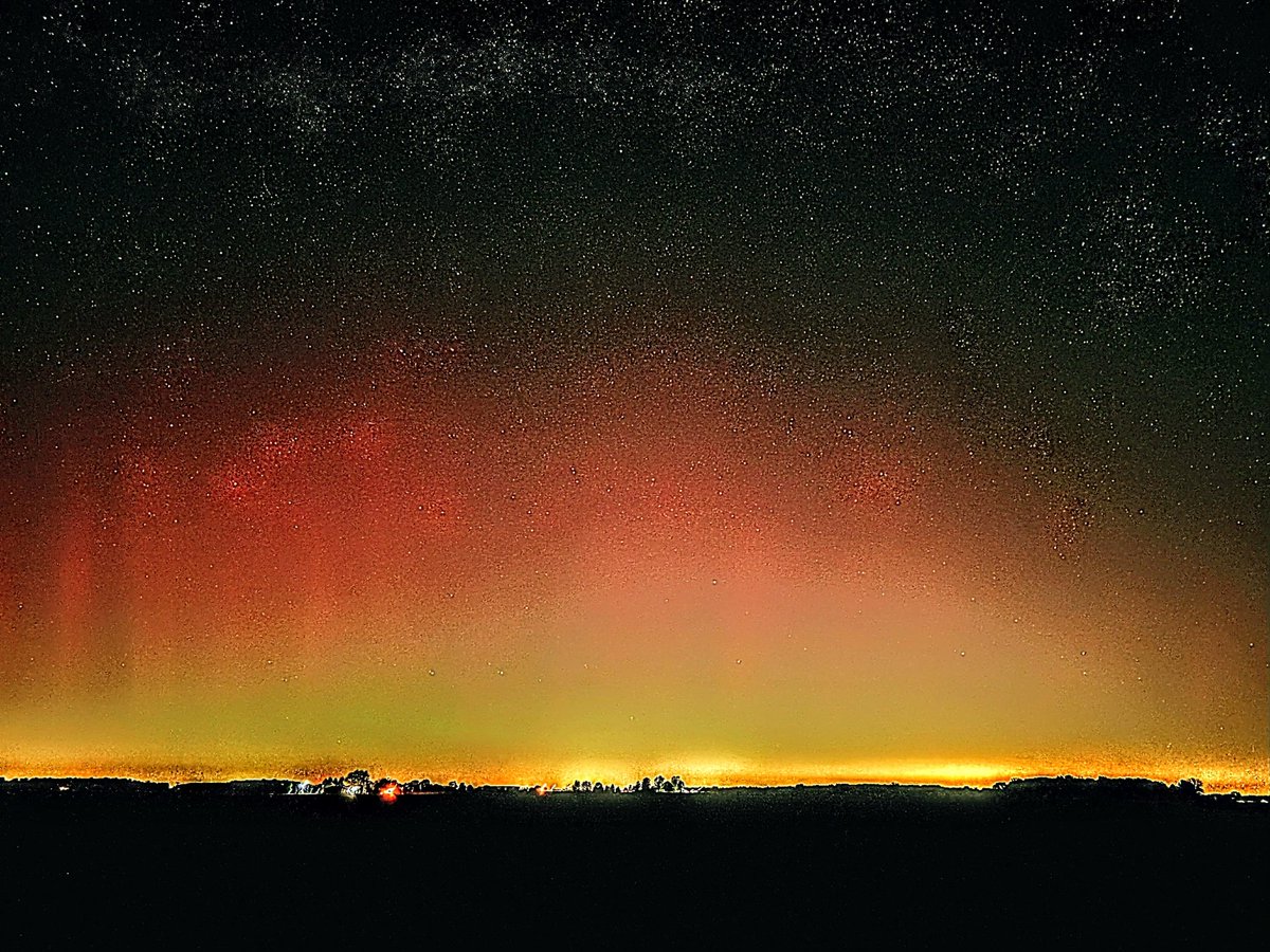
Wow! Beautiful display of the #northernlights from Bluffton Indiana! NWS Northern Indiana


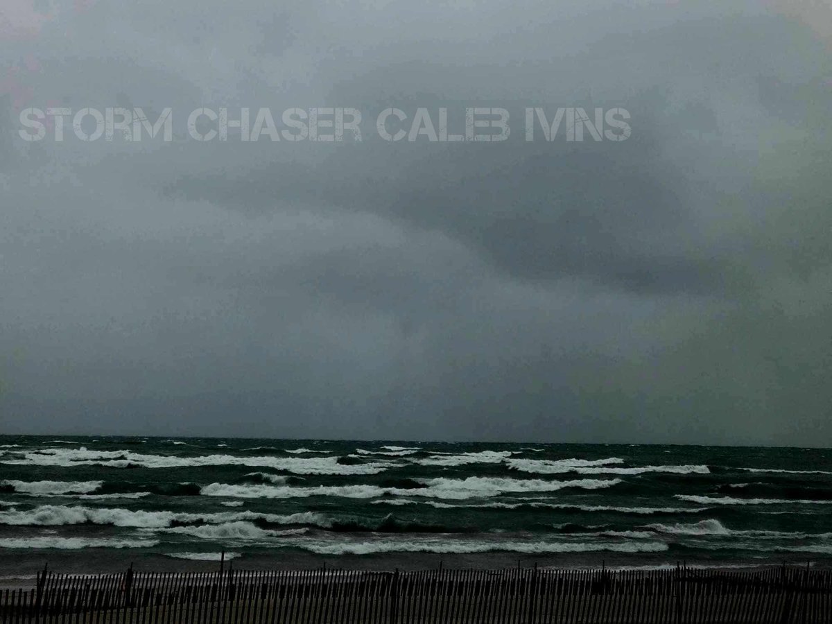
Waterspout! 🌪🌪👀 I was able to bag my first Waterspout yesterday off Weko Beach in Bridgeman Michigan yesterday afternoon! Snow waterspouts are hard to see, we did play with the colors make it more visible for you! NWS Northern Indiana
