Sisters of SAR
@SistersofSAR
A passion for all things #SAR | #WomeninSAR | @eoscenefrom | We 💜@LadiesofLandsat & @DamesofDrones| Tweets by @LDR1, @SAR_ahBanks, @Go__Pika & @ant_dasgupta |
ID:1163135684108050432
https://sistersofsar.wixsite.com/sistersofsar 18-08-2019 17:09:00
7,0K Tweets
10,4K Followers
4,1K Following

NASA SCoPE Sabrina Szeto The various leads of Ladies of Landsat Sisters of SAR Women+ in Geospatial ISPRS SC (incl Morgan Crowley, PhD Flávia Mendes, @[email protected] 🛰️Dr. Gopika Suresh 📡🌏🖖🏽🇩🇪🇮🇳 Dr. Laura Dingle Robertson @sar_ahbanks Cristina @[email protected]🌍🛰️ 🇪🇺🇷🇴🇺🇦 Sabrina Szeto Sheryl Rose Reyes) also did 🔥 jobs in organizing #GeoMixer [s] w/ the broader #EO community.
twitter.com/LadiesOfLandsa…

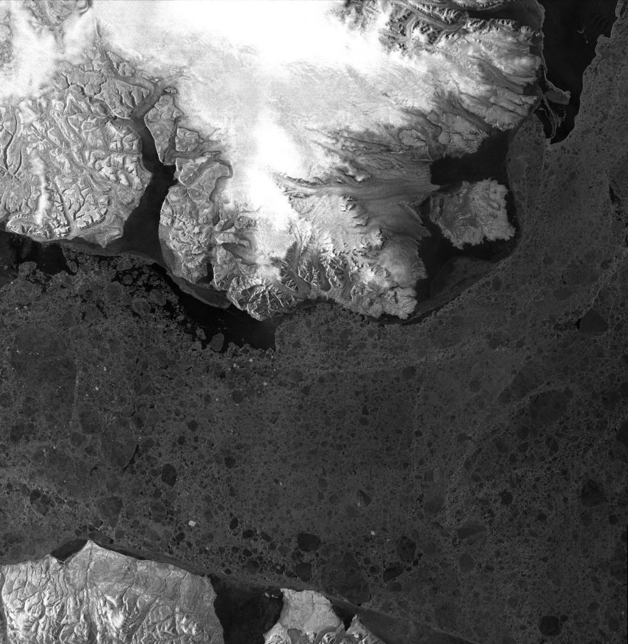
Incredible view of Baffin Bay area captured by DLR - English Airbus Space's TerraSAR-X 🛰️ in May 2021. Ice cover 🧊 makes navigation difficult most of the year due to the high density of floating ice and icebergs.
Learn more: earth.esa.int/eogateway/miss…

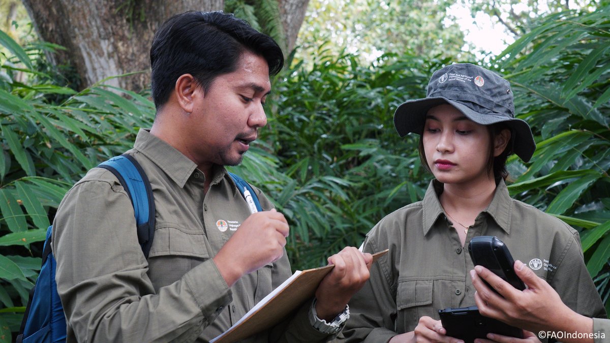
With support from Global Environment Facility (GEF), Food and Agriculture Organization has launched a new phase of work to assist developing countries to monitor & report data on the state & changes in their forest cover more effectively & transparently.
Read more 👉 ow.ly/wXlr50Qp8Im
#CBITForest #ClimateAction
UN Climate Change
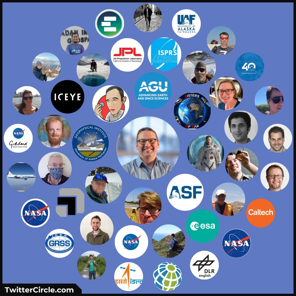
Franz J Meyer NASA JPL Dr Gareth Funning Sisters of SAR Dr. Eric J Fielding, PhD EarthScope Consortium Joseph H. Kennedy UAF Geophysical Institute Joe Morrison 🇧🇿 Belize GEO 🛰️ And huge thanks to Franz J Meyer for trainining the next generation of SAR scientists!

#SAR Twitter
Tnx to #Twittercircle for a fantastic 2023. In 2024, NASA JPL NISAR will add to #GoldenAgeOfSAR !!
Shout-out to y’all for all the amazing work you do! Dr Gareth Funning Sisters of SAR Dr. Eric J Fielding, PhD EarthScope Consortium Joseph H. Kennedy UAF Geophysical Institute Joe Morrison 🇧🇿 Belize GEO 🛰️
Hans-Peter Marshall & more


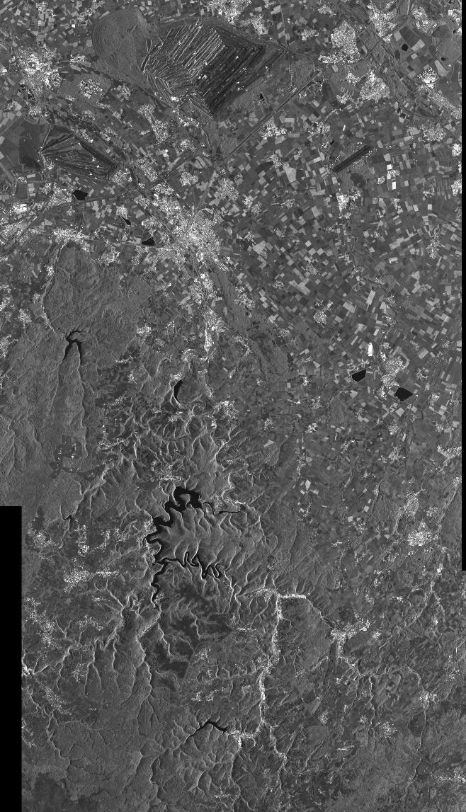
Did you know? Synthetic Aperture Radar (SAR) interferometric (InSAR) technique can detect surface deformations with millimeter-level accuracy. It's crucial for monitoring infrastructures like railways. 🛰️🚄
Data access: earth.esa.int/eogateway/cata…
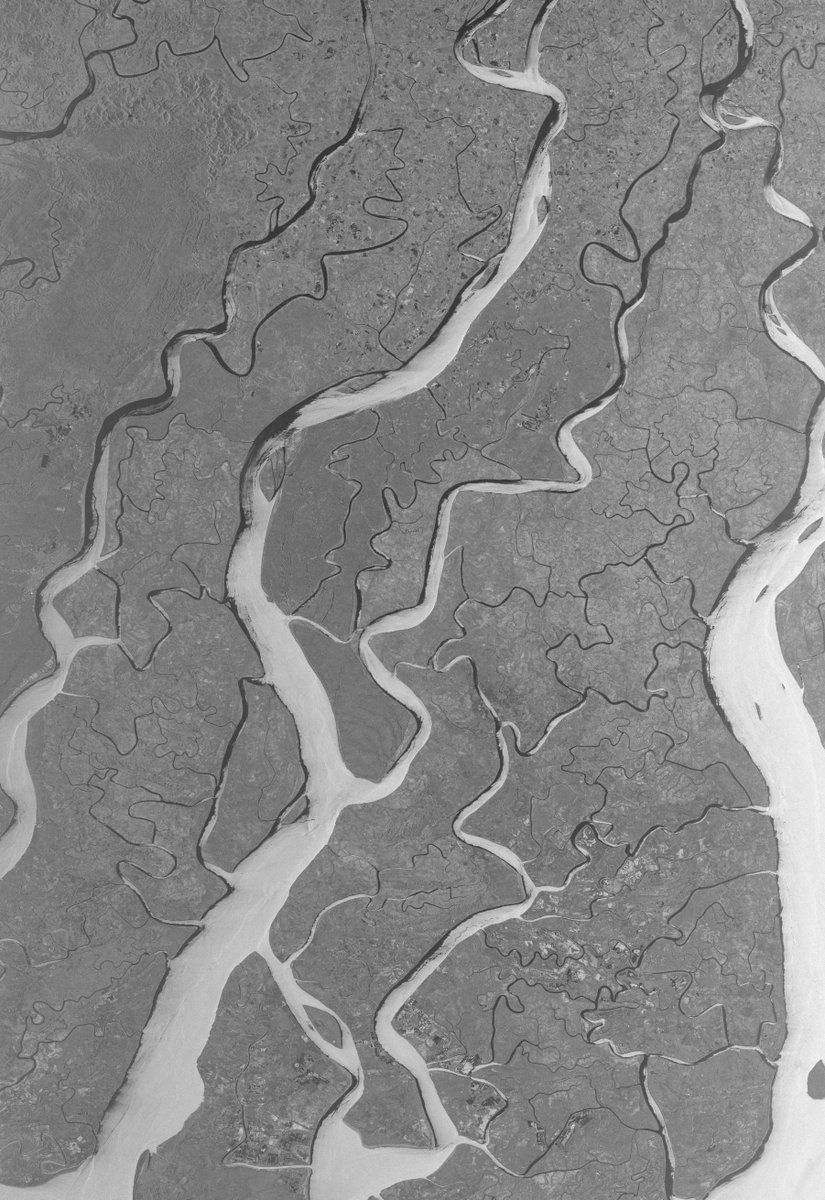
📷@dlr_en @airbusspace #TerraSARX


#mostcited
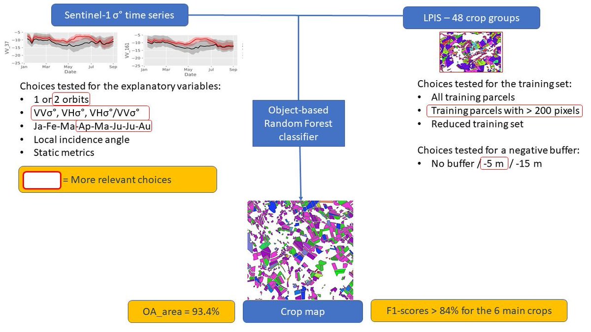
🌾 #Sentinel1 #TimeSeries for #CropIdentification in the Framework of the Future CAP Monitoring by Emilie Beriaux, Alban Jago, Cozmin Lucau-Danila, Viviane Planchon and Pierre Defourny
mdpi.com/2072-4292/13/1…
#agriculture #vegetation

.Ian Fergusson Flooded fields in Somerset, UK as seen by Copernicus EU #Sentinel1 on 7th Dec 2023. False colour RGB ratio image via Sentinel Hub ↙️
Elevation data shows how low-lying Somerset Levels are. It's difficult to move water across landscape ↘️
bbc.co.uk/news/live/uk-e…


Tropical cyclone #Jasper cont'd, touching Queensland's coasts (Australia). ESA Earth Observation acquisitions on 2023/12/11 on 19:43, for #2023SHOC from Copernicus EU
#Sentinel1 A. Max sustained wind velocities (left) slightly over 40 m/s, derived from SAR sea surface roughness (right).


🚨SAR Twitter🚨
Tomorrow is #SAR Day at the AGU (American Geophysical Union) #AGU23 meeting. Come by room 158 in Moscone South for an all-morning series of presentations 🛰️🥳!
My contribution is at 10:30am in the same South 158 room. Swing by to lean about NASA JPL OPERA!
#GoldenAgeOfSAR

Maxime produces excellent well thought out content for the geospatial community. He is well worth sponsoring via Patreon. I’m looking forward to seeing him interview the women behind Sisters of SAR and Shay Strong of Iceye.
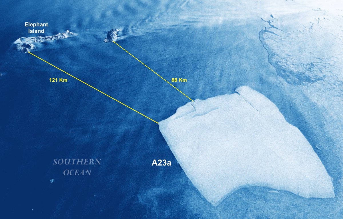
🔵⚠️🧊🇦🇶 In the last few weeks the movement of #A23a in free water has reduced noticeably the distance of the #iceberg from #ElephantIsland and #ClarenceIsland . Here the latest #Sentinel1 3D rendering📸 of Dec. 8 with current distances. #SAR #Antartica #GoldenAgeOfSAR @stormhour

⏰ #SAR Folks⏰
On my way to attend AGU (American Geophysical Union) #AGU23 meeting in San Francisco 🥳. Looking forward seeing you all there. Say hi if you see me! Watch out for loads of #SAR 🛰️ on Tuesday!
#GoldenAgeOfSAR #FunWithFringes


Pleased to say that from January 2024 I will be the new CEO of CEOS Next year is also the 40th anniversary of CEOS, so many reasons to celebrate! reseauconsulting.com/post/committee… Cc: NASA Earth ESA Earth Observation JAXA(Japan Aerospace Exploration Agency) Canadian Space Agency UK Space Agency CNES DLR - English SANSA & 50+ other space agencies!

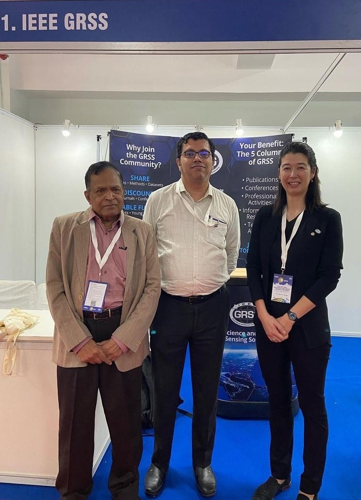
#INGRASS2023 kicks off at IIIT-Bangalore in Bangalore, India!
Come visit the IEEE-GRSS team at our booth !
