Katie Melvin(@wx_ktmelvin) 's Twitter Profileg
Katie Melvin

@wx_ktmelvin

@NC5 Meteorologist || @UNCCharlotte BS BA Alum || #charlottestrong #NotAWeatherGirl

ID:1024069834882134017

linkhttp://www.wxkatie.com calendar_today30-07-2018 23:10:49

5,2K تغريدات

4,3K متابعون

788 التالية

NWS Storm Prediction Center(@NWSSPC) 's Twitter Profile Photo

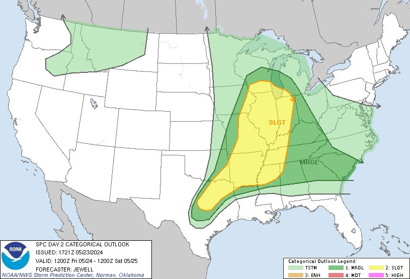
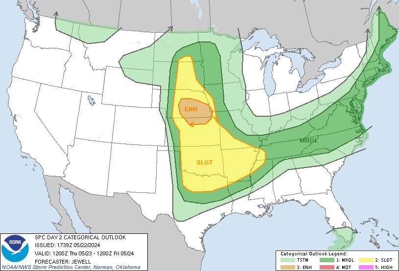
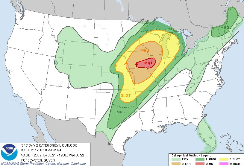
12:23pm CDT Day2 Outlook Slight Risk: from northeast Texas across parts of the Mississippi and lower Ohio Valleys and to southern Wisconsin and Lower Michigan spc.noaa.gov/products/outlo…

12:23pm CDT #SPC Day2 Outlook Slight Risk: from northeast Texas across parts of the Mississippi and lower Ohio Valleys and to southern Wisconsin and Lower Michigan spc.noaa.gov/products/outlo…
account_circle
NWS Nashville(@NWSNashville) 's Twitter Profile Photo

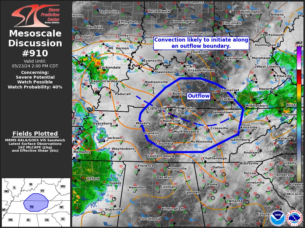
All watches and warnings for Middle Tennessee have been canceled or expired. We are now in the clear for at least a few hours. Unfortunately, there is a marginal risk (1 out of 5) of severe storms for tomorrow, mainly during the afternoon.

account_circle
Nahel Belgherze(@WxNB_) 's Twitter Profile Photo

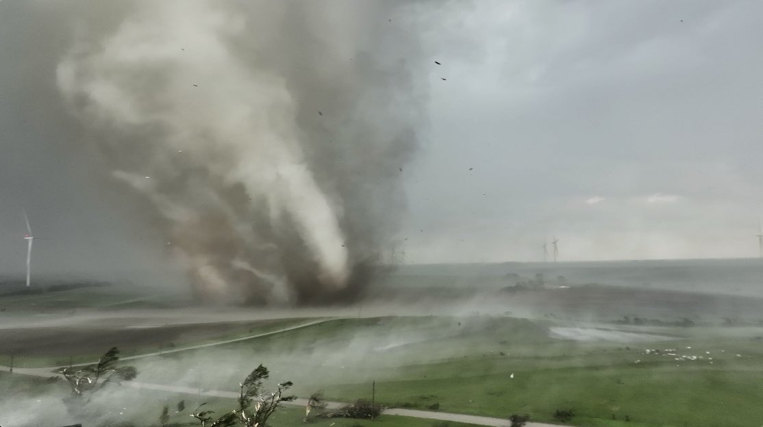
Kent St in Greenfield, IA before & after today’s extremely violent tornado. The way landscapes can be deeply altered in mere seconds will never cease to scare the crap out of me.

Kent St in Greenfield, IA before & after today’s extremely violent tornado. The way landscapes can be deeply altered in mere seconds will never cease to scare the crap out of me.
account_circle
NWS Storm Prediction Center(@NWSSPC) 's Twitter Profile Photo

12:41pm CDT Day2 Outlook Enhanced Risk: from central Nebraska into northern Kansas eastward toward the Missouri River spc.noaa.gov/products/outlo…

12:41pm CDT #SPC Day2 Outlook Enhanced Risk: from central Nebraska into northern Kansas eastward toward the Missouri River spc.noaa.gov/products/outlo…
account_circle
Katie Melvin(@wx_ktmelvin) 's Twitter Profile Photo

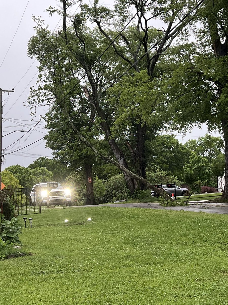
Plenty of trees down in neighborhoods across and around Nashville. Be careful on your way home this evening!

Plenty of trees down in neighborhoods across and around Nashville. Be careful on your way home this evening!
account_circle
Chris |☇uball(@ChrisKuball) 's Twitter Profile Photo

Absolutely insane! What a powerful tornado! This photograph is was found in Sydney Patterson’s yard in McIntyre, IA way up near the Minnesota Border!

It is suspected the from , IA carried this one 175 miles to McIntire!

NWS La Crosse NWS Des Moines

Absolutely insane! What a powerful tornado! This photograph is was found in Sydney Patterson’s yard in McIntyre, IA way up near the Minnesota Border! It is suspected the #tornado from #Greenfield, IA carried this one 175 miles to McIntire! #IAWX @NWSLaCrosse @NWSDesMoines
account_circle
UW-Madison CIMSS(@UWCIMSS) 's Twitter Profile Photo

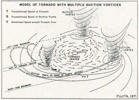
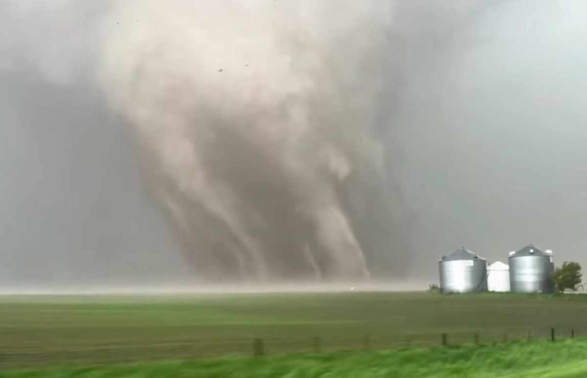
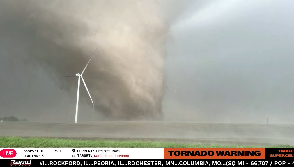
Leigh Orf's computer simulation of the 2011 El Reno EF5 multiple vortex tornado bears a striking resemblance to drone footage of the Iowa tornado. See the high resolution version of Orf's work at youtu.be/fXPCpEkjejo?t=…

account_circle
WxChasing- Brandon Clement(@bclemms) 's Twitter Profile Photo

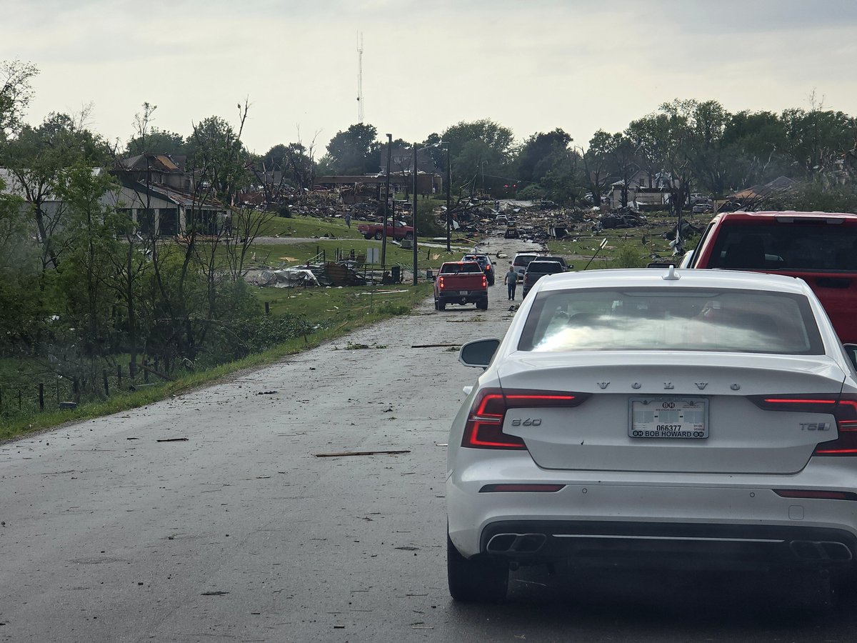
went right through downtown . Drone flight from one end of town to the other shows catastrophic destruction. Please find an appropriate way to donate to the town.

account_circle
Celton Henderson(@CeltonHenderson) 's Twitter Profile Photo

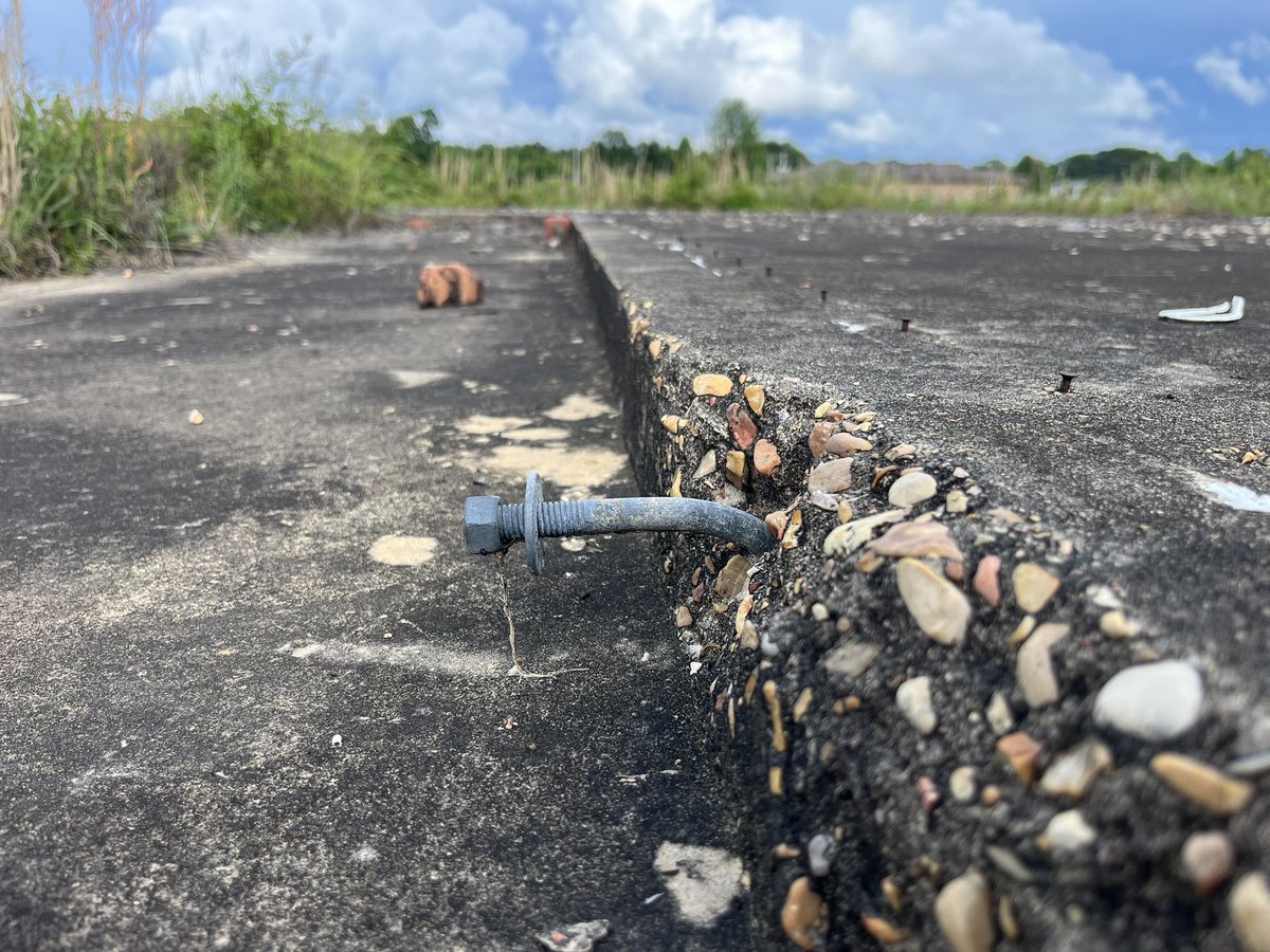
Stopped in Smithville, Mississippi yesterday on my way to todays severe weather setup. Needless to say, evidence of just how extremely violent that tornado was is still visible to this day.

Stopped in Smithville, Mississippi yesterday on my way to todays severe weather setup. Needless to say, evidence of just how extremely violent that tornado was is still visible to this day.
account_circle
NWS Storm Prediction Center(@NWSSPC) 's Twitter Profile Photo

1:00pm CDT Day2 Outlook Moderate Risk: across southern Iowa, northwest Illinois and far northeast Missouri spc.noaa.gov/products/outlo…

1:00pm CDT #SPC Day2 Outlook Moderate Risk: across southern Iowa, northwest Illinois and far northeast Missouri spc.noaa.gov/products/outlo…
account_circle