Josh Woodard
@aganalytics
Founder and CEO of Ag-Analytics and @acrevalue.
ID: 751475984994439168
https://www.linkedin.com/in/joshua-woodard-02121682 08-07-2016 18:00:11
852 Tweet
2,2K Followers
1,1K Following

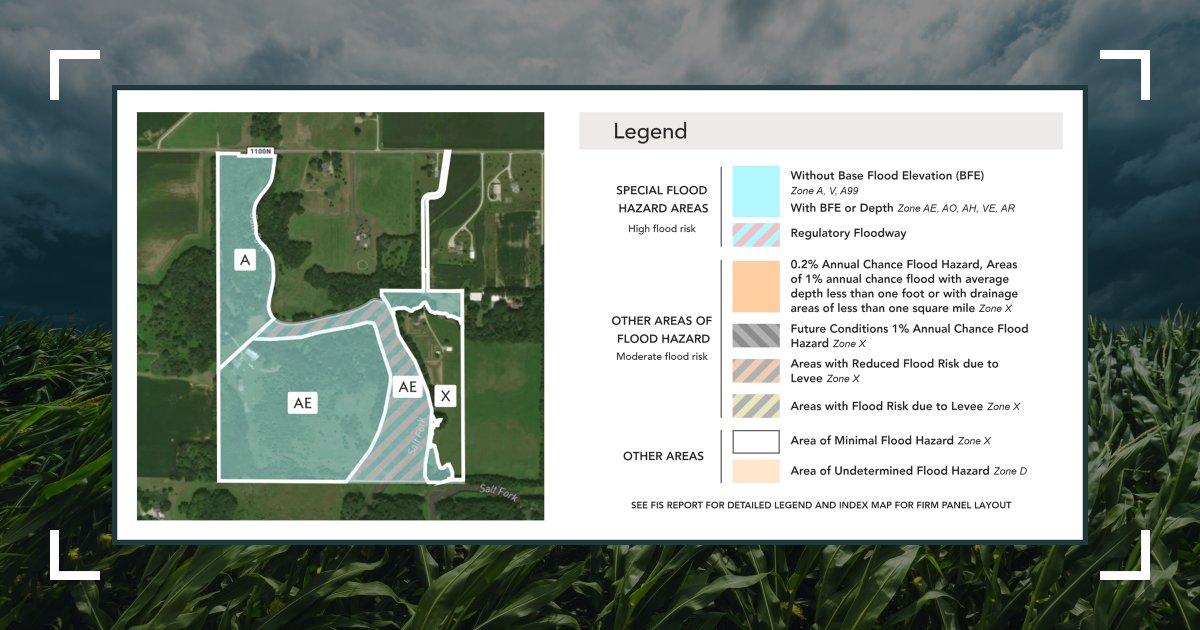
AcreValue® has integrated flood risk maps (FEMA) onto its data system! Search for properties with different flood zone characteristics, and determine flood risk on your own property(ies) or a region. Visit ow.ly/Alv750L6ZSh and select a property boundary to start!


Are you a licensed real estate broker or appraiser? Watch how to “Get a Verified Profile on AcreValue”! Watch AcreValue® webinar here: lnkd.in/gnqqz2aa


Sponsor Spotlight! AcreValue®, by Josh Woodard Technology Company, is the new way to research agricultural land. With the most comprehensive set of farmland data in one site, AcreValue provides the fastest way to research land & find valuations. TICKETS➡️peoplescompany.com/land-investmen…


Check out this Instagram post by AcreValue® instagram.com/p/CmcKYsHOHFq/…

See this Instagram post by AcreValue® instagram.com/p/Cm_9Na9u7uL/…

"Our land is cheap and we are ready to have conversations with those who want to invest in agriculture. Plus, you don't have to worry about water right issues" - Mike Dunleavy #landexpo23


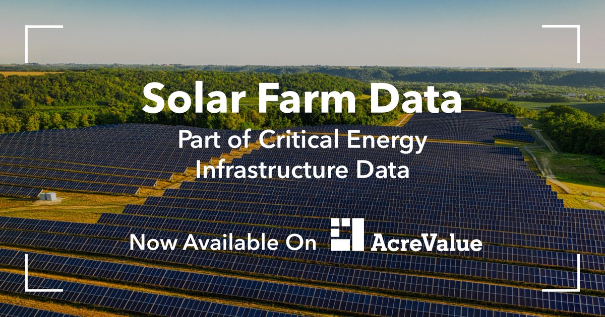
Solar Farm Data is now on AcreValue®! Identify and assess properties with solar farming resources and understand key characteristics such as status, operator, capacity, and start year. Start exploring on AcreValue® today! acrevalue.com/land-for-sale/…


Join your fellow AcreValue® users on the AcreValue Community to connect around farmland rentals, hunting leases, and other land-related services. Post your Opportunities, browse the Community, and connect with landowners for free - start today by visiting acrevalue.com/community.

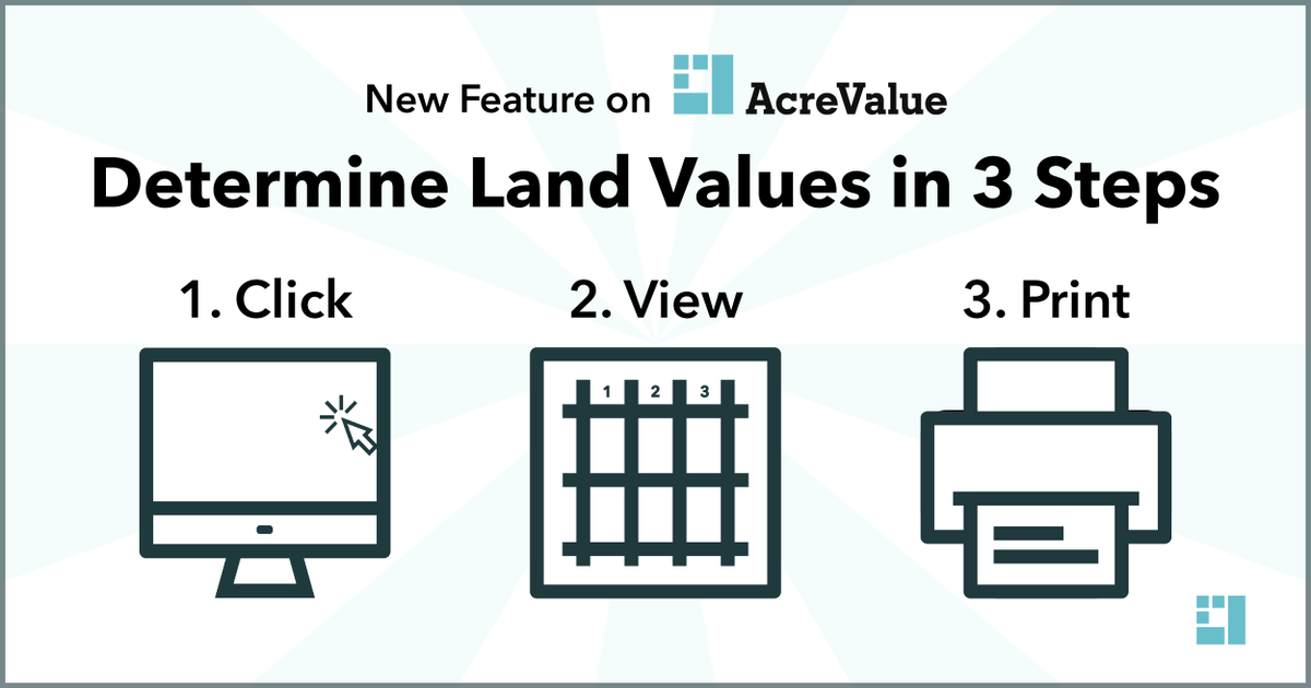
Use the new Comp Analysis Tool on AcreValue® to determine a parcel's land value in 3 steps! Click a property boundary, view local comparable sales and land sale values, and print your full report. Get started by selecting a property on the AcreValue map: acrevalue.com/map/?lat=39.68…


You asked, we responded - you can now measure boundary lines and distances on AcreValue®! You can quickly measure a boundary line or check the distance to a nearby transmission line or substation. Select "Measuring Tools" in the AcreValue map to begin: acrevalue.com/map/?lat=37.69…


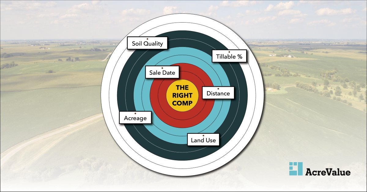
Be on target with land sales by using the Comp Analysis Tool's new Advanced Filters on AcreValue®. With a few clicks, AcreValue will return the right comps back to you, cutting down research time and getting you results faster. Select a property to start: acrevalue.com/map/?lat=39.68…


Don't miss our upcoming webinar on 4/27 to talk about how solar developers and energy firms quickly contact landowners near upcoming projects! We'll highlight how new technologies from AcreValue® can provide solutions for efficient land searches: bit.ly/43RvEVq

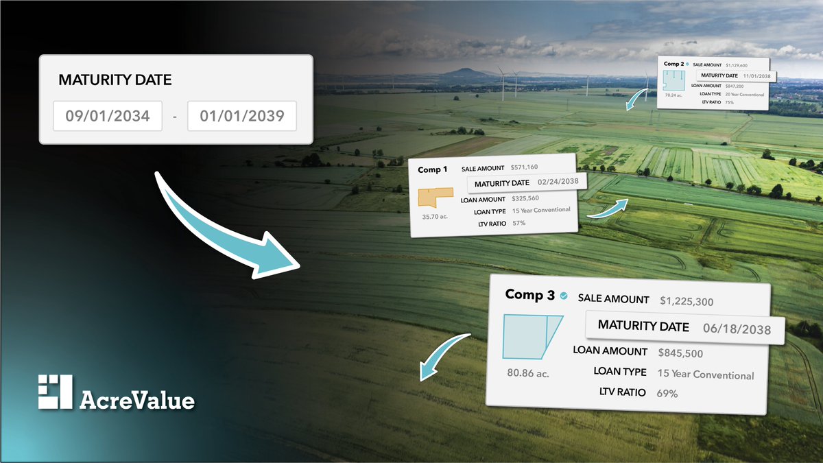
NEW- AcreValue® Premium and Enterprise users can now search and sort land loans by maturity date. For lenders and finance professionals, the new maturity date features will help you identify additional lending and refinance opportunities in your market. Try now:
