Donatus Angnuureng (@ab_donna) 's Twitter Profile
Donatus Angnuureng

@ab_donna

National Geographic Explorer. Researcher in shore-based remote sensing (Cameras & Drones). Hope for big future. Ready for collaboration!

ID: 408386542

linkhttps://www.researchgate.net/profile/Donatus_Angnuureng calendar_today09-11-2011 10:52:22

108 Tweet

149 Takipçi

164 Takip Edilen

World Bank Environment (@wbg_environment) 's Twitter Profile Photo

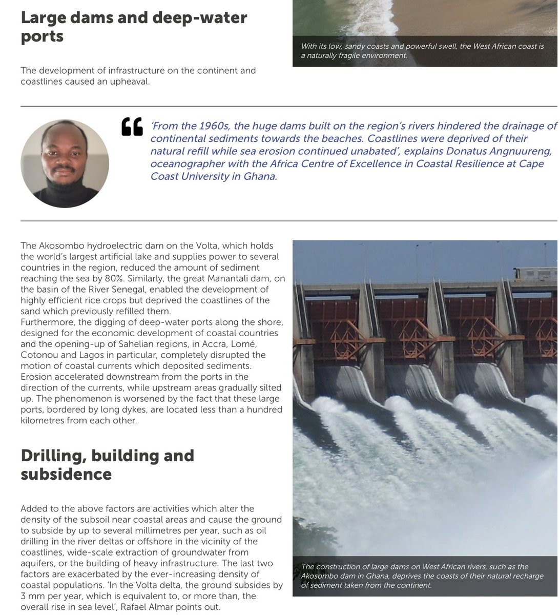
The West Africa Coastal Areas Management Program (WACA), IRD & UCC ACECOR keep Africa’s coast healthy and bring solutions to manage erosion and flooding risks. Find out more in the new report: wrld.bg/ncsh50JsZHC IRD.fr and University of Cape Coast (UCC) #WorldOceansDay

The West Africa Coastal Areas Management Program (WACA), IRD &amp; UCC ACECOR keep Africa’s coast healthy and bring solutions to manage erosion and flooding risks. Find out more in the new report: wrld.bg/ncsh50JsZHC  <a href="/ird_fr/">IRD.fr</a> and <a href="/UCCGH_Official/">University of Cape Coast (UCC)</a> #WorldOceansDay
John Dramani Mahama (@jdmahama) 's Twitter Profile Photo

In Africa, we need ethical and moral uprightness as guiding principles, and a stoic fidelity to the truth and to do right by our people above all other considerations.

In Africa, we need ethical and moral uprightness as guiding principles, and a stoic fidelity to the truth and to do right by our people above all other considerations.
Donatus Angnuureng (@ab_donna) 's Twitter Profile Photo

Sur les côtes africaines, un système unique de vidéosurveillance pour mieux gérer les risques theconversation.com/sur-les-cotes-… via The Conversation France
Mitchell Harley (@docharleymd) 's Twitter Profile Photo

Excited to have been awarded an #ARCLinkage project with Surf Life Saving Australia to develop a new rip-detection tool using smartphones! Looking forward to working with a great team Rob Brander Professor Toby Walsh FAA FTSE Dr Amy Peden Dr Jaz Lawes Shane Daw @UNSWWRL newsroom.unsw.edu.au/news/general/u…

Ernest Chuku (@ceo_chuks) 's Twitter Profile Photo

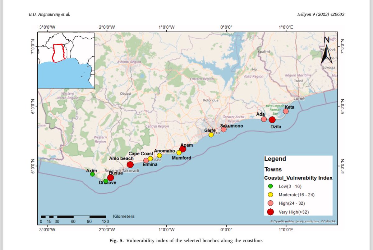
Sharing our latest #research, which looks at the impact of hard engineering #erosion solutions on the #geomorphology of our #coast and the #livelihood of millions who utilise the coast as a launchpad for their “bread and butter” activities. Full article: authors.elsevier.com/sd/article/S24…

Sharing our latest #research, which looks at the impact of hard engineering #erosion solutions on the #geomorphology of our #coast and the #livelihood of millions who utilise the coast as a launchpad for their “bread and butter” activities.

Full article: authors.elsevier.com/sd/article/S24…
Donatus Angnuureng (@ab_donna) 's Twitter Profile Photo

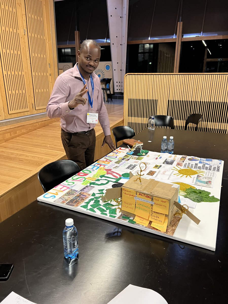
Climate change is real. To produce food for people, we should not only think of that! The energy and water that will yield the food can pollute the earth. It was great to be at the ARUA SFS summer school, Pretoria. Enjoy our poster that was adjudged the best.

Climate change is real. To produce food for  people, we should not only think of that! The energy and water that will yield the food can pollute the earth. It was great to be at the ARUA SFS summer school, Pretoria. Enjoy our poster that was adjudged the best.
Donatus Angnuureng (@ab_donna) 's Twitter Profile Photo

Climate change is currently an issue particularly for coastal dwellers and we all must be involved. For me, setback zones and government commitments are key. In Cameroon, I had this to say, listen and support!

Donatus Angnuureng (@ab_donna) 's Twitter Profile Photo

Today I had the privilege of touring the largest wave flume in the world located in Tianjin, China. People mean business. This can generate waves of 3.5 m higher than what is in Germany.

Donatus Angnuureng (@ab_donna) 's Twitter Profile Photo

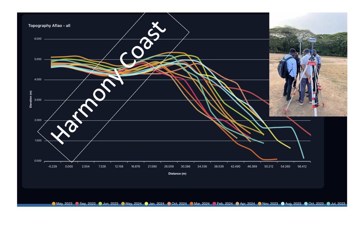
Acquired a DGPS on our Project. Organised a specialised training session on its use, that is now enabling us to do high precision geospatial mapping of our beaches (topography, profiles). Happy to share with you a full year beach profiles at 16 stations, first check AFLAO out.

Acquired a  DGPS on our Project. Organised a specialised training session on its use, that is now enabling us to do high precision geospatial mapping of our beaches (topography,  profiles). Happy to share with you a full year beach profiles at 16 stations, first check AFLAO out.
Donatus Angnuureng (@ab_donna) 's Twitter Profile Photo

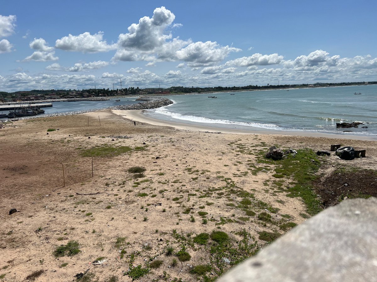
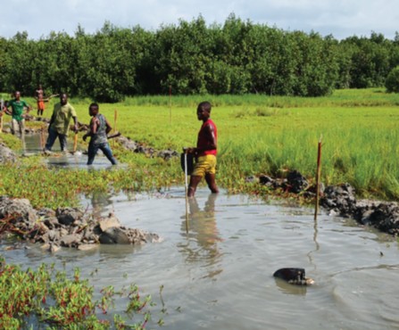
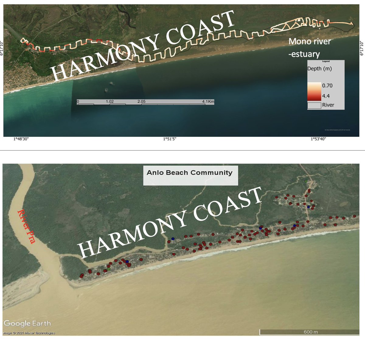
Coastal water bodies off the Bight of Benin are crucial water resources, supporting millions of people. Now most of them are disappearing or degraded. Most lagoons have dried up, estuaries silted, and we need critical parameters like bathymetry and water quality.

Coastal water bodies off the Bight of Benin are crucial water resources, supporting millions of people. Now most of them are disappearing or degraded. Most lagoons have dried up, estuaries silted, and we need critical parameters like bathymetry and water quality.