USGS(@USGS) 's Twitter Profileg
USGS

@USGS

Science is only a tweet away. Tweets do not = endorsement: https://t.co/VoRuucTNuK

ID:14505838

linkhttp://usgs.gov calendar_today24-04-2008 03:10:57

27,2K Tweets

798,4K Followers

83 Following

Follow People
USGS Earthquakes(@USGS_Quakes) 's Twitter Profile Photo

Notable quake, preliminary info: M 6.6 - 32 km NW of Fangale’ounga, Tonga earthquake.usgs.gov/earthquakes/ev…

account_circle
USGS(@USGS) 's Twitter Profile Photo

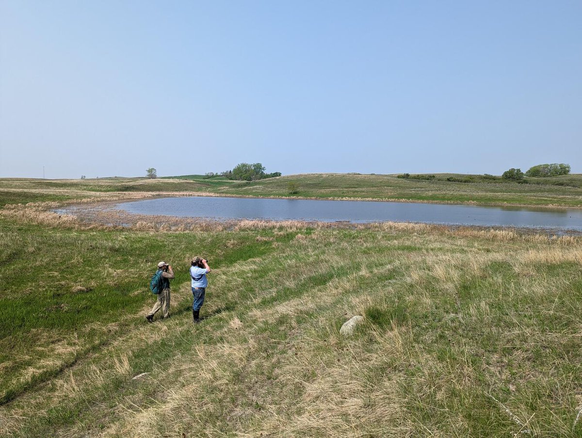
the Prairie Pothole Region supports 50-80% of America's ducks? These glacial provide critical breeding habitat, but losses have halved wetland-dependent species. USGS partners with U.S. Fish and Wildlife Service to study climate & land use impacts on these wetlands.

#DYK the Prairie Pothole Region supports 50-80% of America's ducks? These glacial #wetlands provide critical breeding habitat, but losses have halved wetland-dependent species. USGS partners with @USFWS to study climate & land use impacts on these wetlands. #WetlandsMonth
account_circle
USGS(@USGS) 's Twitter Profile Photo

Did u know impact ecosystems differently? 🔥🌳

In some areas fire clears native shrubs, allowing invasive plants like cheatgrass to spread. Whereas in others, controlled burns help restore native habitats.

Dr. Keely explains the difference: ow.ly/qrwY50RRxEB
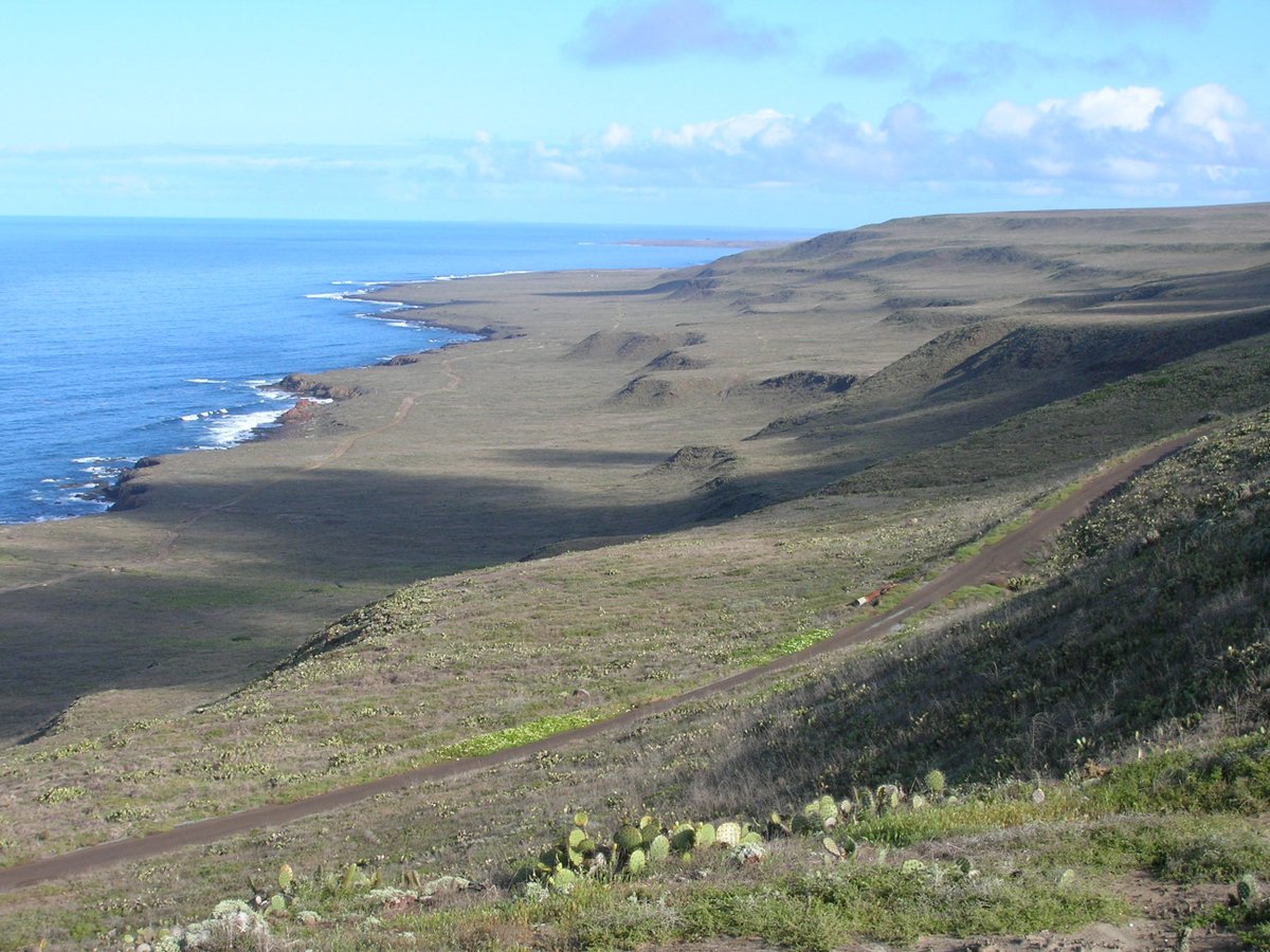
Did u know #wildfires impact ecosystems differently? 🔥🌳 In some areas fire clears native shrubs, allowing invasive plants like cheatgrass to spread. Whereas in others, controlled burns help restore native habitats. Dr. Keely explains the difference: ow.ly/qrwY50RRxEB
account_circle
USGS(@USGS) 's Twitter Profile Photo

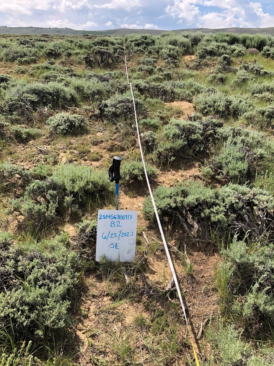
Relationship status: It's complicated

🔥🏜️ 🌦️Fire, ecosystems & climate have an interwoven relationship. Each piece influences & is influenced by the others. When one changes, the other two are affected.

Learn more: ow.ly/6THz50RPoRe

Relationship status: It's complicated 🔥🏜️ 🌦️Fire, ecosystems & climate have an interwoven relationship. Each piece influences & is influenced by the others. When one changes, the other two are affected. Learn more: ow.ly/6THz50RPoRe #WildfireAwarenessMonth #FireScience
account_circle
USGS(@USGS) 's Twitter Profile Photo

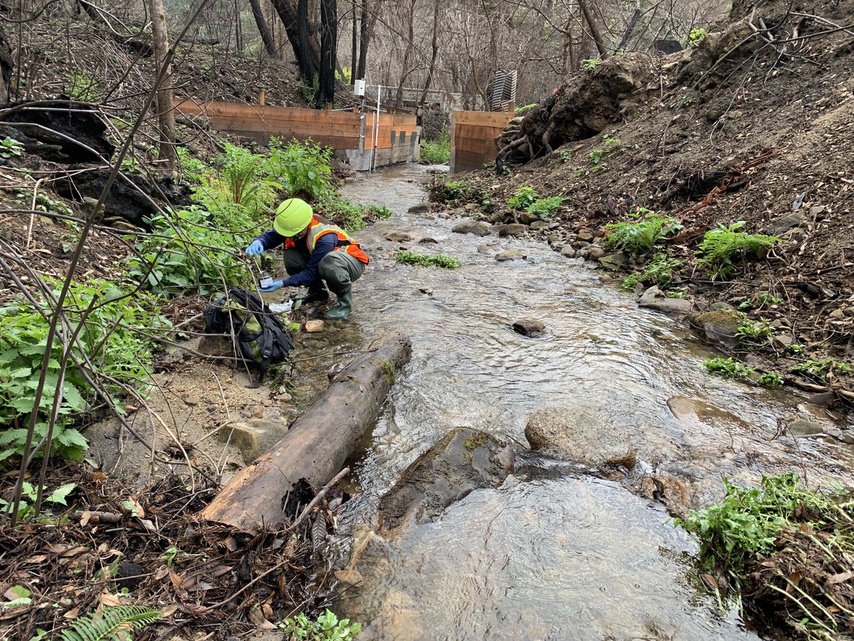
can have major impacts on water supplies.

Learn more about the strategy that USGS scientists developed to improve post-wildfire water quality monitoring: ow.ly/6B1350ROMsR

#Wildfires can have major impacts on water supplies. Learn more about the strategy that USGS scientists developed to improve post-wildfire water quality monitoring: ow.ly/6B1350ROMsR #WildfireAwarenessMonth
account_circle
USGS(@USGS) 's Twitter Profile Photo

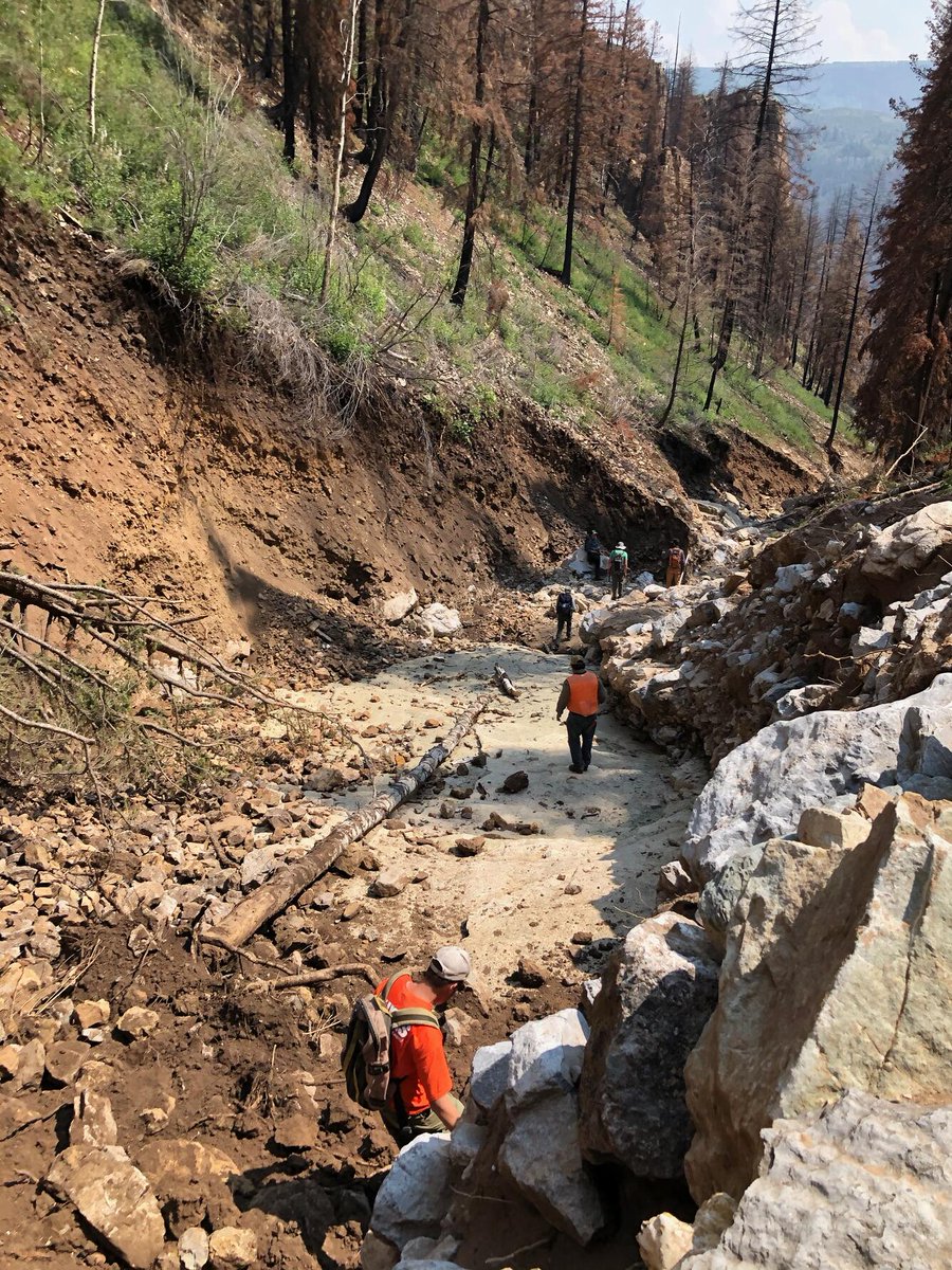
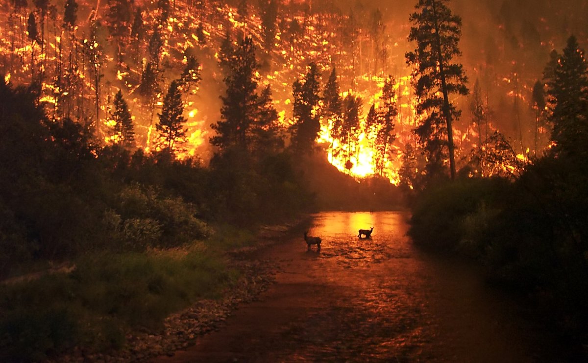
Burning to Learn 🔥🌳

Educators, check out our Wildland Fire School lesson plans and have your students learn about fire basics, wildfire impacts on ecology, fire management, and more.

➡️ow.ly/1BXz50REpfp

📷 J. McColgan USDA Forest Service

Burning to Learn 🔥🌳 Educators, check out our Wildland Fire School lesson plans and have your students learn about fire basics, wildfire impacts on ecology, fire management, and more. ➡️ow.ly/1BXz50REpfp 📷 J. McColgan @forestservice #WildfireAwarenessMonth #wildfire
account_circle
USGS Landsat(@USGSLandsat) 's Twitter Profile Photo

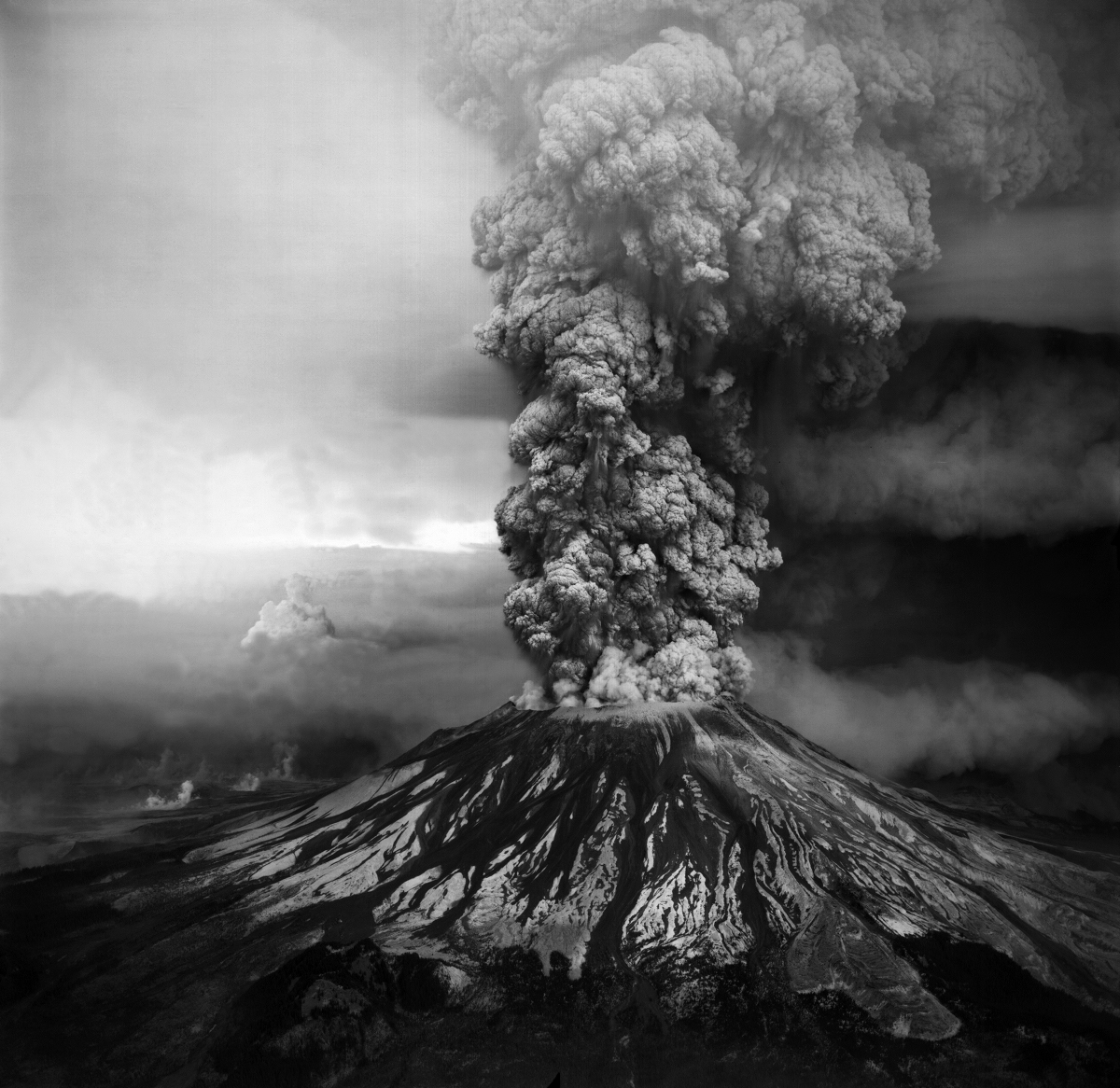
in 1980, unleashed the most devastating in U.S. history. The destructive blast removed the upper 1,300 feet of the volcano, leveled forests, and claimed lives and property. More here: ow.ly/v3mN50RKpuR
account_circle
US Department of the Interior(@Interior) 's Twitter Profile Photo

Looking back over the last four decades, we have made great strides in understanding volcanic hazards and communicating with at-risk communities, so we can be better prepared for the next eruption.

Photo by USGS Volcanoes🌋
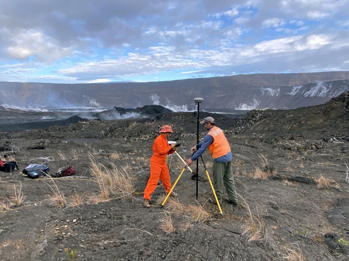
Looking back over the last four decades, we have made great strides in understanding volcanic hazards and communicating with at-risk communities, so we can be better prepared for the next eruption. Photo by @USGSVolcanoes
account_circle
US Department of the Interior(@Interior) 's Twitter Profile Photo

44 years ago today, Mount St. Helens cataclysmically erupted. The event led to 57 deaths, including the death of David Johnston, a dedicated USGS scientist, and caused the worst volcanic disaster in the recorded history of the lower 48 states.

44 years ago today, Mount St. Helens cataclysmically erupted. The event led to 57 deaths, including the death of David Johnston, a dedicated @USGS scientist, and caused the worst volcanic disaster in the recorded history of the lower 48 states.
account_circle
USGS(@USGS) 's Twitter Profile Photo

Witness history unfold through the lens of the volcanologist Don Swanson during the eruption of on May 18, 1980. Shot with his Bell & Howell 16mm film camera, Don's raw footage offers an unparalleled glimpse into this monumental event.

account_circle
USGS(@USGS) 's Twitter Profile Photo

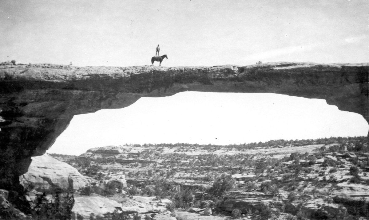
Check out this stunt by Dan Perkins on top of Utah's 106' tall Owachomo Bridge! It's the thinnest of the three natural bridges in Natural Bridges Nat'l Monument.

Owachomo means 'rock mound' in Hopi?

Now get off your high horse, Dan, and don't try this again.🐴

Check out this stunt by Dan Perkins on top of Utah's 106' tall Owachomo Bridge! It's the thinnest of the three natural bridges in Natural Bridges Nat'l Monument. #DKY Owachomo means 'rock mound' in Hopi? Now get off your high horse, Dan, and don't try this again.🐴 #TBT #Utah
account_circle
USGS in Montana(@USGS_MT) 's Twitter Profile Photo

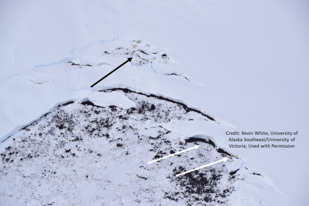
A new study indicates that comprise, on average, 23%-65% of annual mortality in , depending on the region. Results could have implications for other mountain-dwelling species 👉 pubs.usgs.gov/publication/70…

International Arctic Research Center WSL Umweltforschung @ UniversityOfVictoria

A new study indicates that #avalanches comprise, on average, 23%-65% of annual mortality in #mountaingoats, depending on the region. Results could have implications for other mountain-dwelling species 👉 pubs.usgs.gov/publication/70… @IARC_Alaska @WSL_research @ @uvic #USGS_NOROCK
account_circle
USGS Earthquakes(@USGS_Quakes) 's Twitter Profile Photo

Notable quake, preliminary info: M 5.6 - 92 km NNW of San Antonio, Puerto Rico earthquake.usgs.gov/earthquakes/ev…

account_circle
USGS(@USGS) 's Twitter Profile Photo

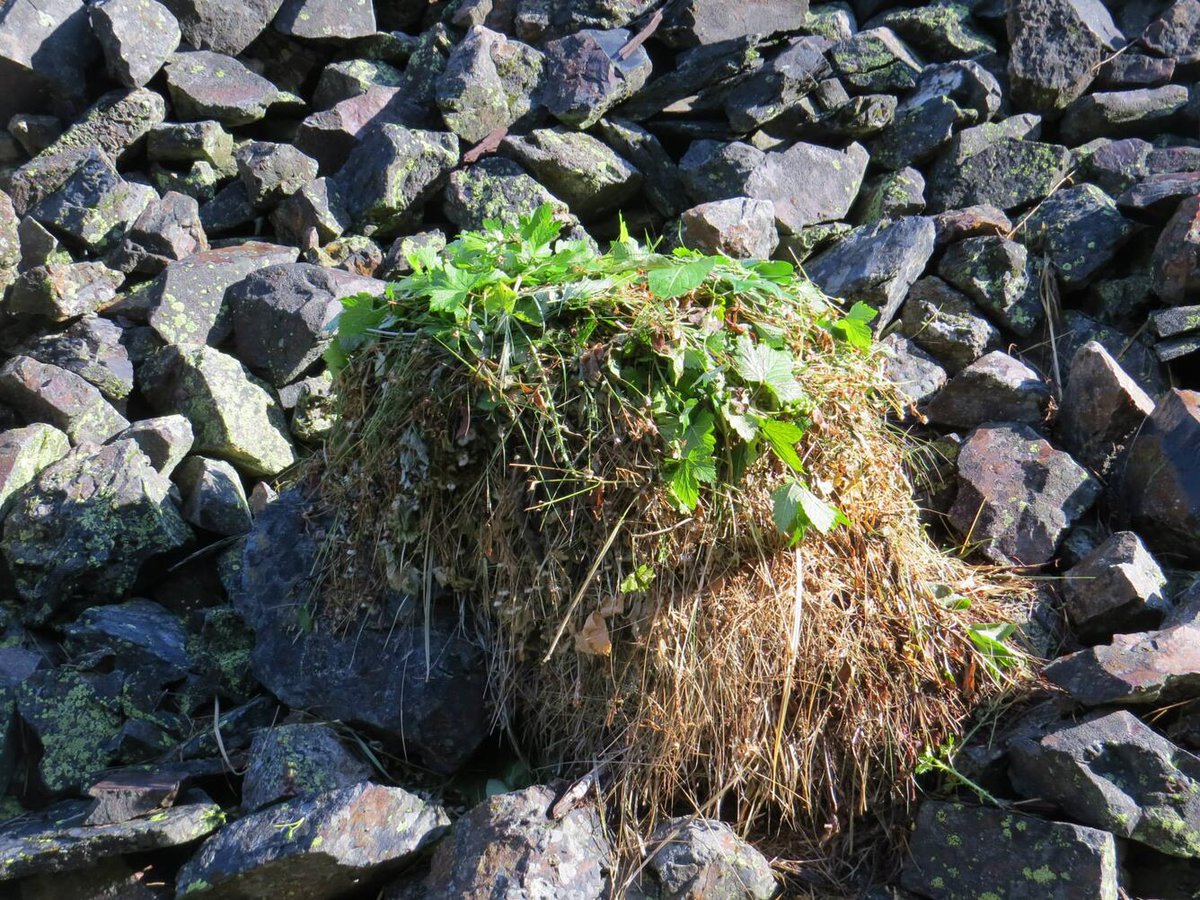
American pika: 'Nom nom nom ... nomnomnom'

- during the summer, pikas collect green mountain plants to make hay piles for winter food?
With the summer months approaching, the American pika (Ochotona princeps) will need to get to work!

American pika: 'Nom nom nom ... nomnomnom' #DYK - during the summer, pikas collect green mountain plants to make hay piles for winter food? With the summer months approaching, the American pika (Ochotona princeps) will need to get to work! #AmericanPika
account_circle
USGS(@USGS) 's Twitter Profile Photo

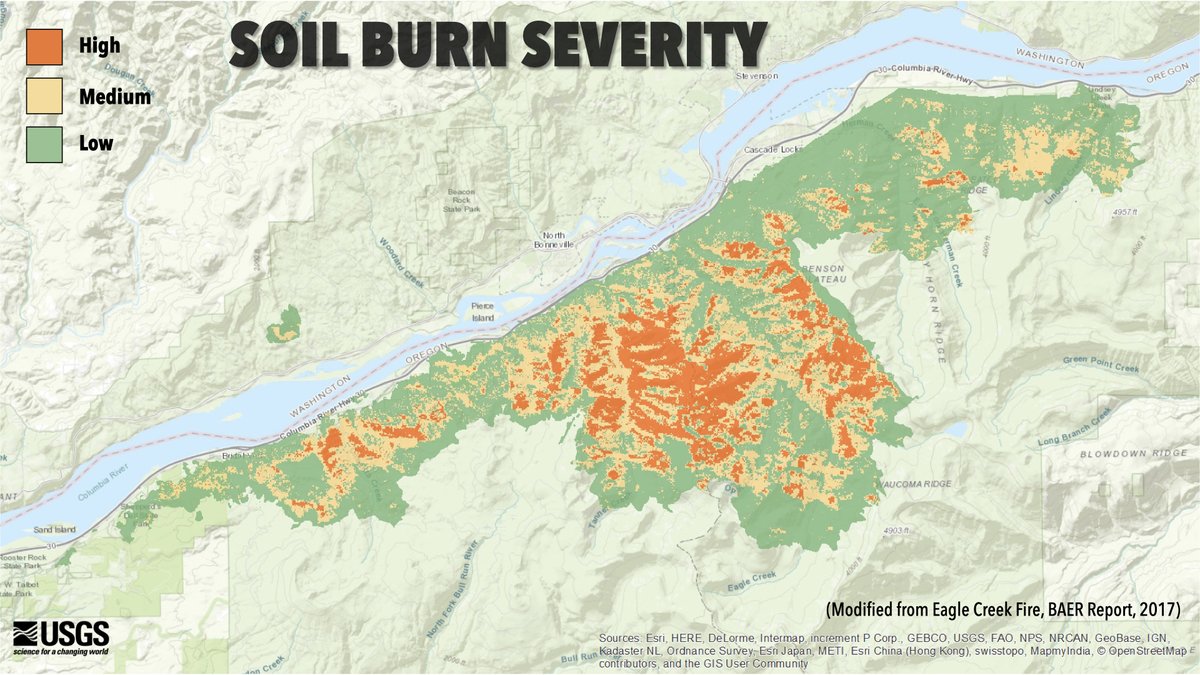
The impact of wildfires can vary from beneficial to devastating. We need to know its burn severity so we can gain insights into what the fire has done. Our online viewer provides that and so much more. ow.ly/ClwU50RCX43

The impact of wildfires can vary from beneficial to devastating. We need to know its burn severity so we can gain insights into what the fire has done. Our online viewer provides that and so much more. ow.ly/ClwU50RCX43 #WildfireAwarenessMonth #FiredUpForScience
account_circle