Ken Pryor
@StormRangerWX
Latest weather conditions from the StormRanger in New Market, MD. Ph.D. in Atmospheric Physics @UMBC, satellite meteorology developer, severe weather fanatic!
ID:1502793590715686917
https://whatsapp.com/channel/0029VaC4PwzChq6KOO2EbE0i 12-03-2022 23:48:30
12,0K Tweets
56 Followers
70 Following

Cheers to Fort Pierce, FL! Enjoying the ocean breeze and beautiful cumulus cloud sky. Cumulus clouds appearing clearly on GOES-16 visible imagery over the Treasure Coast. Doesn’t get much better! Cloud Appreciation Society South Florida Weather #flwx #clouds


Friday evening altocumulus cloud deck over #newmarketmd at 7:00 pm EDT ahead of an approaching warm front. Temperature 60F. Wind SE at 2G3 kts. Today’s high temperature 67F. Cloud Appreciation Society DC MD VA Weather #mdwx #clouds #skywatcher

Latest sky report from #newmarketmd :
cloudappreciationsociety.org/activity/?stat… Cloud Appreciation Society

Cumulus clouds over #collegeparkmd at lunchtime that are appearing clearly in GOES-16 visible imagery. At observation time, winds NW at 6 gusting to 13 knots. Cloud Appreciation Society DC MD VA Weather Jack Rudden #mdwx #clouds #cloudwatch


Lunchtime weather here in #collegeparkmd :
cloudappreciationsociety.org/activity/?stat… Cloud Appreciation Society #mdwx


Two-county Bike Ride on AllTrails
alltrails.com/explore/record… Beautiful, sunny breezy afternoon. Winds 9 to 15 kts from the WNW, made for a challenge on the westbound segment of the route! Jack Rudden Trek Bicycle #mdwx #trekbikes


Cumulus congestus clouds building over #frederickmd at 1:00 pm EDT today, and appearing clearly in #goes16 visible imagery. Winds 4 to 9 kts from the WSW. With a high temperature of 85F, warmest day of the year so far! DC MD VA Weather Washingtonian Weather Geeks Cloud Appreciation Society #mdwx
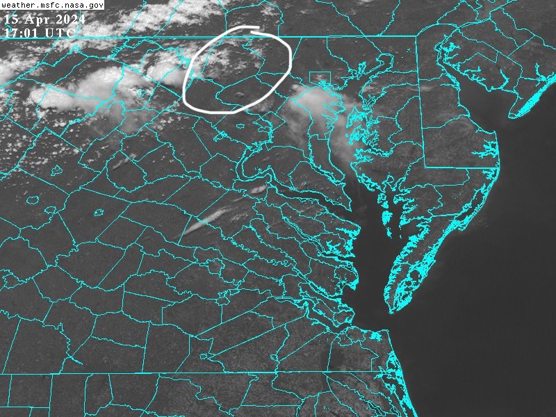

The cyclone cold sector is over Frederick County, MD this afternoon producing gusty winds and beautiful convective cloud skies. Winds 11 to 15 kts from the WSW measured at ground level in #frederickmd at 2:45 pm EDT. DC MD VA Weather Washingtonian Weather Geeks Jack Rudden #mdwx
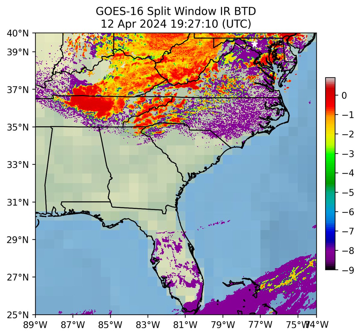

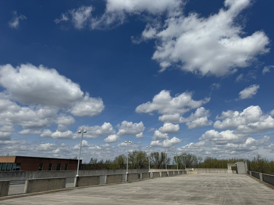
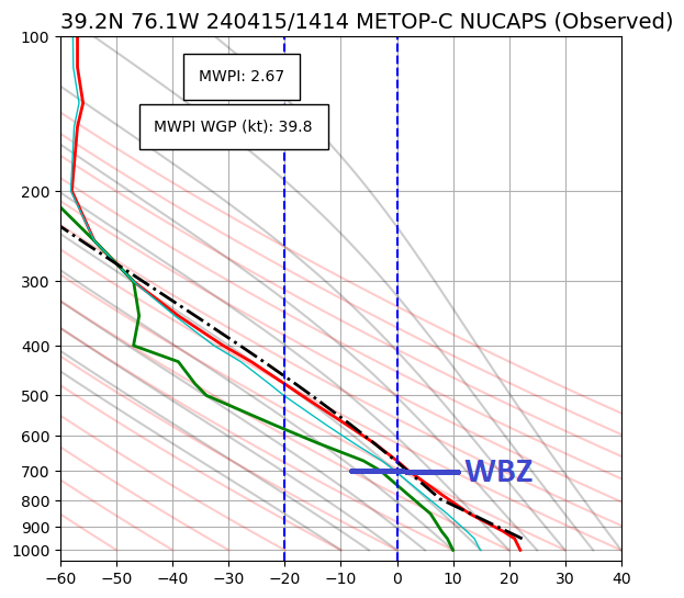
From yesterday afternoon: cumulus mediocris clouds over #collegeparkmd . The afternoon #noaa satellite NUCAPS sounding shows that the vertical change in temperature and moisture, in a convective surface layer, favored the development of these cumulus clouds. #mdwx Cloud Appreciation Society


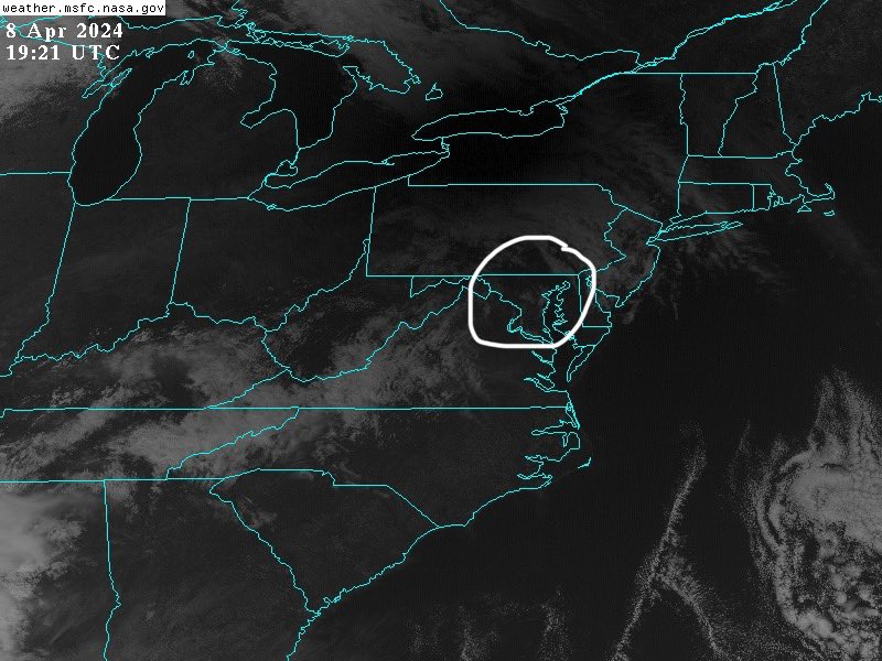
Bike ride during today’s partial solar eclipse here in #newmarketmd . The eclipse highlighted the beautiful altocumulus castellanus clouds that were barely visible over central MD in #goes16 imagery. Winds 6 to 8 kts from the SE. DC MD VA Weather Cloud Appreciation Society #mdwx #clouds


Happy and blessed #Annunciation Day! “I am the Lord, there is no other; I form the light and create the darkness, I make well-being…”, Isaiah 45:5-8. Be it done according to your word! Amen!


Great afternoon bike ride here in #newmarketmd on this 2nd Sunday of Easter. Winds 8 to 12 kts from the WNW. Temperature 68F. Mostly clear skies and the warmest day so far in April in central MD! DC MD VA Weather Trek Bicycle #trekbikes #vans #mdwx


Sunday Summerfield Bike Tour on AllTrails
alltrails.com/explore/record… Trek Bicycle #trekbikes #vans #mdwx

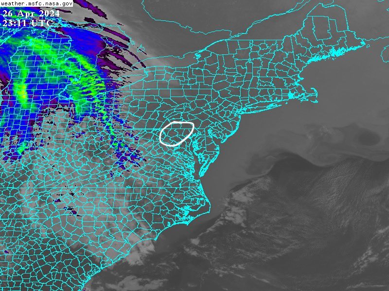
Update: at 3:30 pm, gust front passage here in #newmarketmd . Wind gust of 10 knots measured at ground level by my handheld Tempest wind meter. Stratocumulus cloud line marking the gust front passage. DC MD VA Weather Washingtonian Weather Geeks Jack Rudden #mdwx
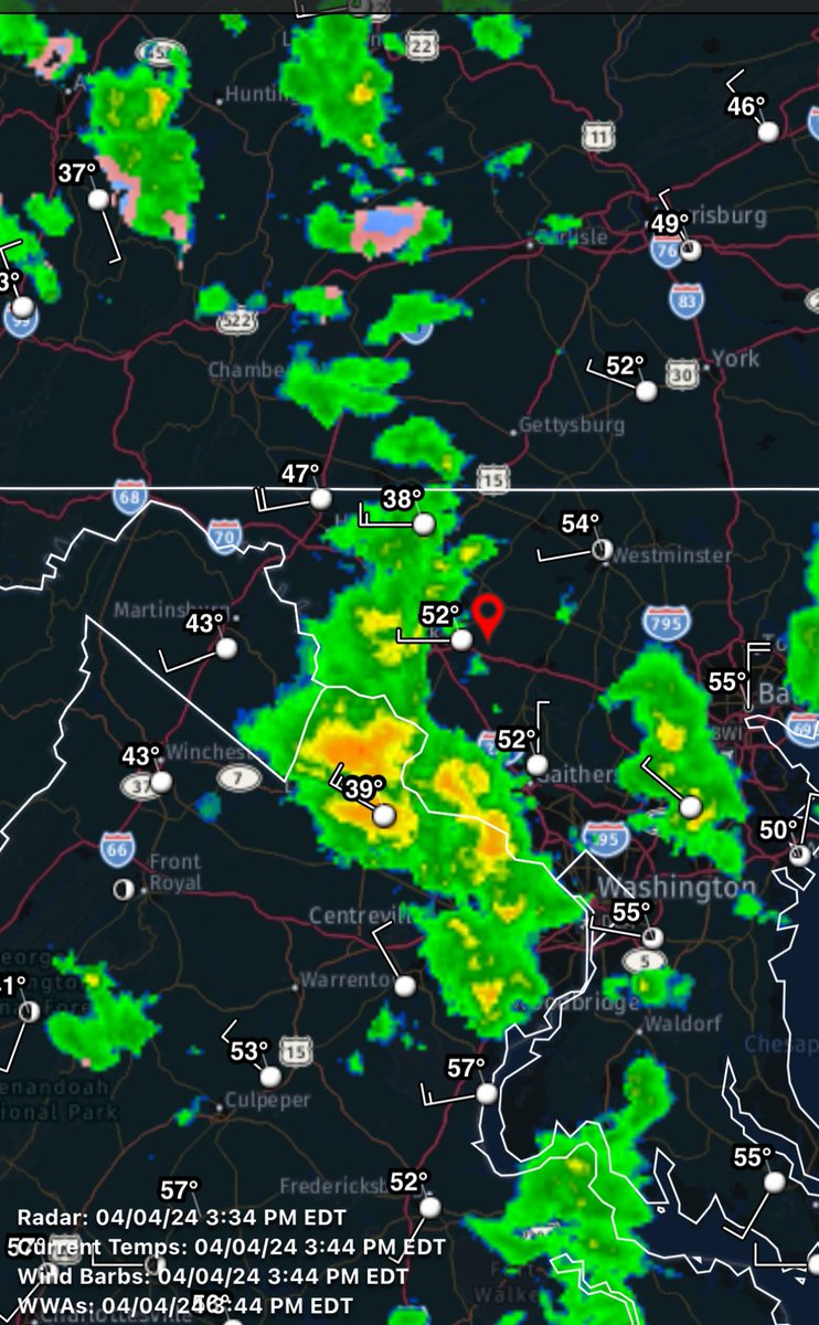


Mid-afternoon convective cloud sky over #newmarketmd and monitoring a developing squall line over the Blue Ridge mountains to move into central MD within the next hour. Low-end downburst/outflow wind gust potential of 30-35 mph possible. DC MD VA Weather Jack Rudden #mdwx

