Peter Atwood (@peterincan) 's Twitter Profile
Peter Atwood

@peterincan

Cartographer with @Esri
I make maps, and sometimes videos, and occasionally pasta. All typos my own.

youtube.com/@terraincognit…

ID: 564485021

linkhttp://peteratwoodprojects.wordpress.com calendar_today27-04-2012 10:42:37

857 Tweet

1,1K Takipçi

600 Takip Edilen

NASA Earth (@nasaearth) 's Twitter Profile Photo

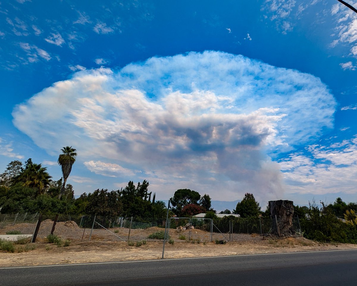
Hundreds of wildland fires in Canada, fueled by extreme heat along with windy conditions and thunderstorms, lofted smoke over Canada and the U.S. in July 2024. This animation shows concentrations of soot from July 17-24 from NASA’s GEOS-FP model. go.nasa.gov/3SnuFIO

Dr. Dawn Wright + @deepseadawn.bsky.social 🇺🇦 (@deepseadawn) 's Twitter Profile Photo

Did you know? Minnesota Governor Tim Walz, newly-announced running mate of Vice President JD Vance Harris, was the keynote speaker at our Esri User Conference just last month??? Catch his super inspiring talk here: mediaspace.esri.com/media/t/1_d2sq… Cc Dr. Leah C. Stokes [email protected]

Did you know? Minnesota Governor Tim Walz, newly-announced running mate of <a href="/VP/">Vice President JD Vance</a> Harris, was the keynote speaker at our <a href="/EsriUC/">Esri User Conference</a> just last month??? Catch his super inspiring talk here:

mediaspace.esri.com/media/t/1_d2sq…

Cc <a href="/leahstokes/">Dr. Leah C. Stokes leahstokes@bsky.social</a>
mapsdotcom (@mapsdotcom) 's Twitter Profile Photo

With 70% of its surface area being almost entirely ocean, Earth is a water planet. Explore The Finite Ocean, an interactive atlas by Esri. From currents and sea surface temperatures to global shipping routes, offshore drilling, and fishing intensity, these maps take a deep

Atlas of Design (@nacis_atlas) 's Twitter Profile Photo

The Atlas of Design editorial team is excited to share our thoughts on the first half of the Volume 7 Honorable Mentions! atlasofdesign.org/2024/08/31/vol…

The Atlas of Design editorial team is excited to share our thoughts on the first half of the Volume 7 Honorable Mentions!

atlasofdesign.org/2024/08/31/vol…
Atlas of Design (@nacis_atlas) 's Twitter Profile Photo

The Atlas of Design editorial team is excited to share our thoughts on the second half of the Volume 7 Honorable Mentions! atlasofdesign.org/2024/09/02/vol…

The Atlas of Design editorial team is excited to share our thoughts on the second half of the Volume 7 Honorable Mentions!

atlasofdesign.org/2024/09/02/vol…
Peter Atwood (@peterincan) 's Twitter Profile Photo

Compiled and sped up some of the incredible footage coming from the @AlertCalifornia webcams today. youtube.com/watch?v=jytC_h… #LineFire #BridgeFire #AirportFire

Peter Atwood (@peterincan) 's Twitter Profile Photo

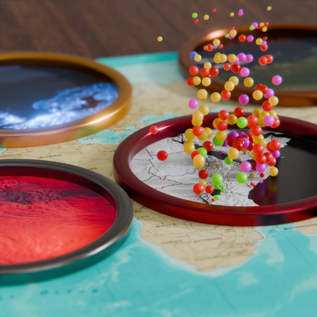
This weekend's experiment: Using an object's position to selectively mix materials and geometry. Not sure if this is going anywhere, but it's definitely a neat effect.

This weekend's experiment: Using an object's position to selectively mix materials and geometry. Not sure if this is going anywhere, but it's definitely a neat effect.
Todd Master (@masteractual) 's Twitter Profile Photo

"well, that escalated quickly." Amazing visualization of every space launch in history by Peter Atwood, guiding the simple realization that we are in the second Golden Age of space.

Observable (@observablehq) 's Twitter Profile Photo

Animation can be a gimmicky distraction in data visualization. But when used with care, animation can improve user experiences and help viewers track patterns across charts and metrics. We share five ways you can use animation for more effective data viz: buff.ly/3ZDT3tp

Animation can be a gimmicky distraction in data visualization. But when used with care, animation can improve user experiences and help viewers track patterns across charts and metrics. We share five ways you can use animation for more effective data viz: buff.ly/3ZDT3tp
Jan-Hendrik Müller (@kolibril13) 's Twitter Profile Photo

If you want to visualize string data with Blender #GeometryNodes, this 4 min tutorial if for you: youtube.com/watch?v=EWUdck…

mapsdotcom (@mapsdotcom) 's Twitter Profile Photo

As the Palisades Fire in Los Angeles grew to nearly 20,000 acres, aerial assets played a critical role in tracking and fighting the fire. Peter Atwood used data from FlightAware to show how these efforts played out: maps.com/animated-palis…