PERIVALLON HE
@perivallon_he
Protecting the European territory from organised environmental crime through intelligent threat detection tools. / Project funded by @HorizonEU
ID: 1612430230563479555
09-01-2023 12:45:27
68 Tweet
208 Followers
494 Following

We need as much effort as possible - in the world of competing demands to tackle this type of crime . That’s we we are proud to be part of PERIVALLON HE . More info perivallon-he.eu


🌍 PERIVALLON at the Security Research Event! #SRE2025 was an exciting opportunity to showcase our platform's role in fighting environmental crime. Great to share our booth with sister project emeritus_EU & welcome Minna Wilkki (EC) for a live demo!


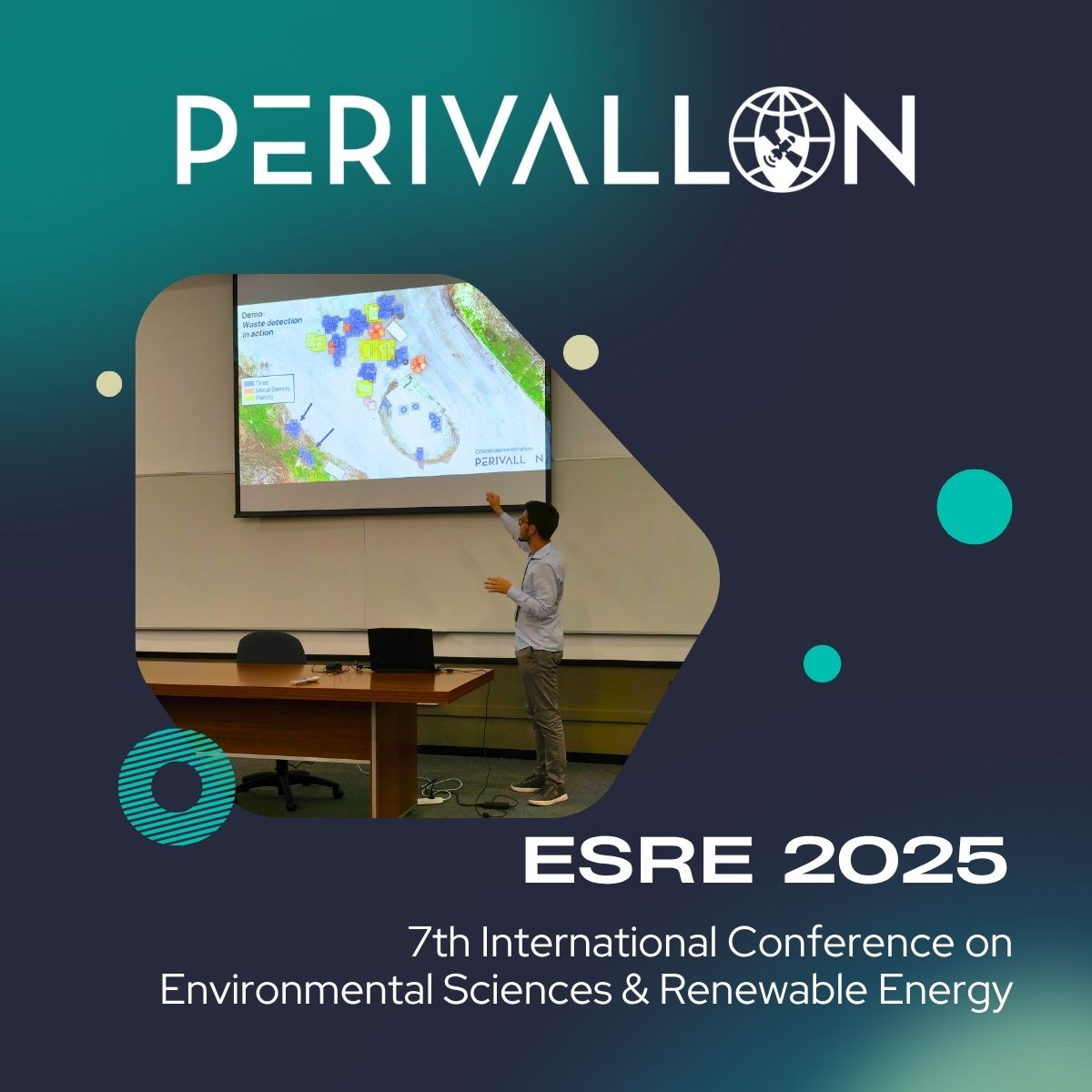
At the 7th International Conference on Environmental Sciences and Renewable Energy (ESRE), Luca Morandini from Politecnico di Milano presented how #PERIVALLON uses Geospatial AI and drone imagery to detect and classify waste. Insights from our Pilot Use Case in Calvarina were also presented.

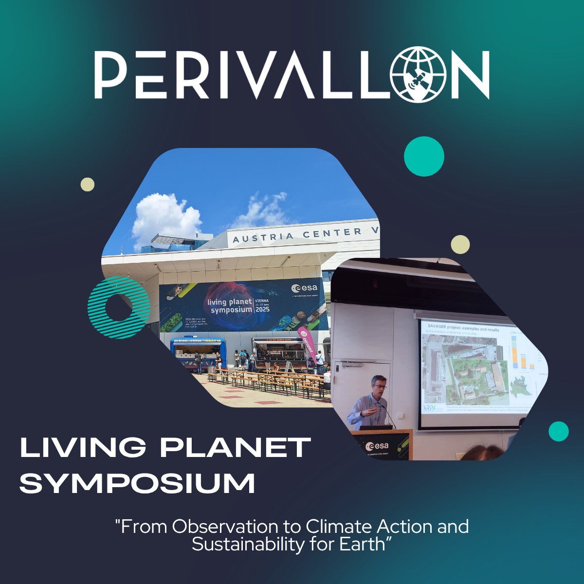
🌎At the Living Planet Symposium in Vienna, Dario Bellingeri from ARPA Lombardia highlighted PERIVALLON’s satellite, UAV and AI workflows for environmental compliance. 💡Key insight: 47 potential environmental crime sites identified in mere hours.

🛰️ How are computer vision systems achieving unprecedented accuracy in detecting oil spills? In our latest blog post, ΕΚΕΤΑ-CERTH shows how low‑altitude imagery and deep learning detect and map both slicks and sheens. Read the full article here: shorturl.at/wh3nW

We’re excited to share a new scientific #publication from our consortium partners at ΕΚΕΤΑ-CERTH: "LADOS: Aerial Imagery Dataset for Oil Spill Detection, Classification, and Localization Using Semantic Segmentation." 🔍 zenodo.org/records/158883…


🛰️ How can satellite imagery & AI help tackle illegal waste dumping? In our latest blog, partners from Politecnico di Milano show how high-resolution satellite images turn into actionable insights for environmental crime. 🌍 Read more 👉perivallon-he.eu/fighting-illic…


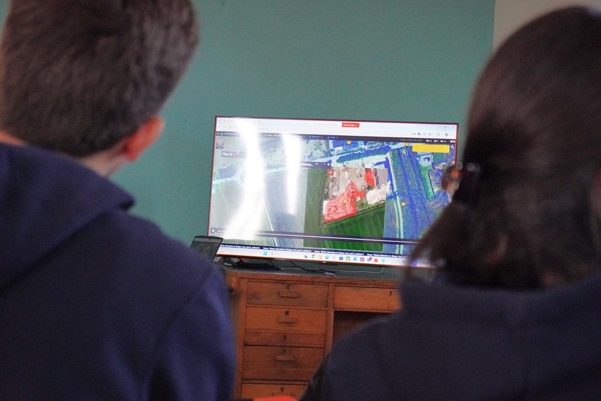
🛰️ Final 𝗣𝗨𝗖𝟭 iteration completed on 17–18 Sep 2025 in Soave Italy. The consortium validated improvements with partners and aligned the platform with operational needs. ARPA Lombardia showed historical satellite and Copernicus timelapse with UAVs for before and after checks.
