Orion Geospatial
@oriongeospatial
🌍 Welcome to Orion Geospatial Solutions
We offer Precision geospatial services:
Engineering Surveying | Cadastral/Boundary
Drone LiDAR & Aerial Mapping | GIS
ID: 1886340344159019008
http://oriongeospatial.co.ke 03-02-2025 09:06:09
34 Tweet
88 Followers
124 Following



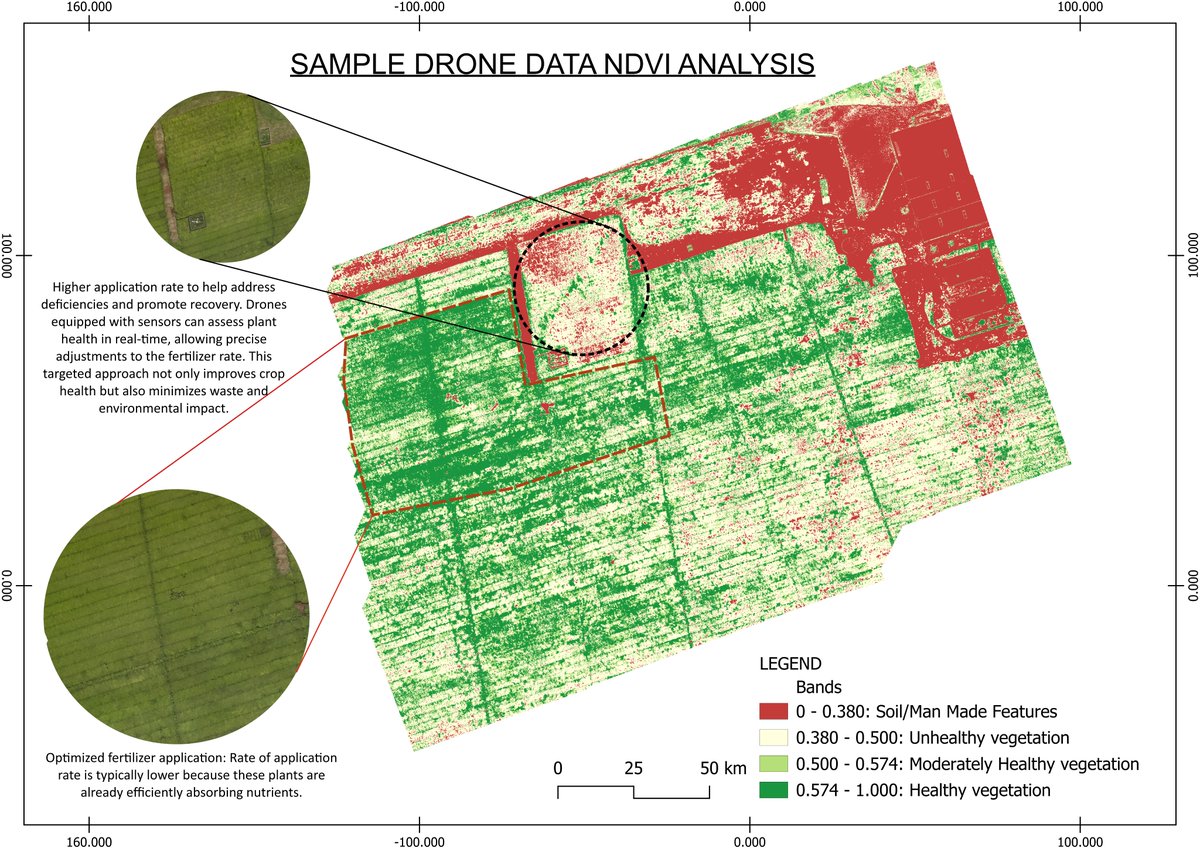
𝐘𝐨𝐮𝐫 𝐂𝐫𝐨𝐩𝐬 𝐀𝐫𝐞 𝐓𝐚𝐥𝐤𝐢𝐧𝐠. 𝐎𝐮𝐫 𝐃𝐫𝐨𝐧𝐞𝐬 𝐇𝐞𝐥𝐩 𝐘𝐨𝐮 𝐋𝐢𝐬𝐭𝐞𝐧. At Fahari Aviation , we use our drones to capture detailed crop health data through 𝑵𝑫𝑽𝑰 (𝑵𝒐𝒓𝒎𝒂𝒍𝒊𝒛𝒆𝒅 𝑫𝒊𝒇𝒇𝒆𝒓𝒆𝒏𝒄𝒆 𝑽𝒆𝒈𝒆𝒕𝒂𝒕𝒊𝒐𝒏 𝑰𝒏𝒅𝒆𝒙) analysis.


Murithi Godwin Cenas Ojung'a Joel Building Technologist Orion Terrametrics Nicholas Mutethia Karuma 😂😂😂😂the owner of this house should now look for a surveyor and purchase the piece of land he or she encroached 😂😂 You can never run away at #Surveyors

🚰 Reducing Non-Revenue Water with Smart GIS Solutions Many utilities lose over 40% of their water due to leaks, aging infrastructure, and limited operational visibility. The result? Lost revenue, high costs, and dissatisfied customers. At Orion Terrametrics, we’ve built an



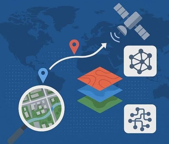
🌍 Accessing geospatial data in Africa has been too hard for too long. At Orion Terrametrics, we’re changing that. Soon, we launch Africa’s first unified GIS Data Platform — making spatial data searchable, accessible & ready for action. 🚀 #GIS #Africa
