Nick Bender(@NickBenderKMBC) 's Twitter Profileg
Nick Bender

@NickBenderKMBC

Morning Meteorologist & Storm Chaser at @KMBC in Kansas City. I call the Plains Home. Christian. Husband. Father. Penn Stater. Angler. #MOwx #KSwx

ID:357026180

linkhttp://www.kmbc.com calendar_today17-08-2011 18:44:35

26,5K Tweets

19,8K Followers

1,7K Following

Nick Bender(@NickBenderKMBC) 's Twitter Profile Photo

🌡️ Chasing that record high on Sunday. Get your flip flops out! Monitoring the potential for severe thunderstorms late Monday afternoon through Tuesday morning. KMBC

🌡️ Chasing that record high on Sunday. Get your flip flops out! Monitoring the potential for severe thunderstorms late Monday afternoon through Tuesday morning. @kmbc
account_circle
Nick Bender(@NickBenderKMBC) 's Twitter Profile Photo

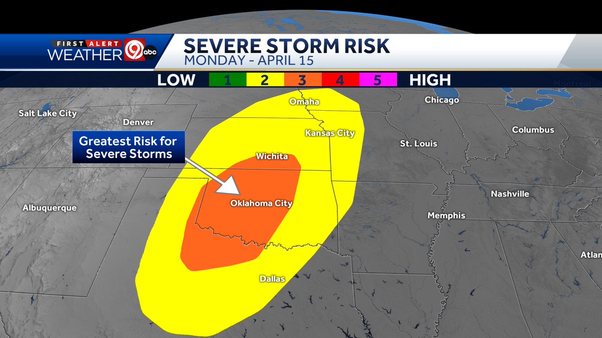
Noticeable expansion in the level 3/5 (Enhanced Risk) for Monday, April 15. A significant severe weather episode is possible across the Enhanced Risk area MON afternoon & evening. A relatively lower risk for Kansas City late MON afternoon into MON night. KMBC

Noticeable expansion in the level 3/5 (Enhanced Risk) for Monday, April 15. A significant severe weather episode is possible across the Enhanced Risk area MON afternoon & evening. A relatively lower risk for Kansas City late MON afternoon into MON night. #OKwx #MOwx #KSwx @kmbc
account_circle
Nick Bender(@NickBenderKMBC) 's Twitter Profile Photo

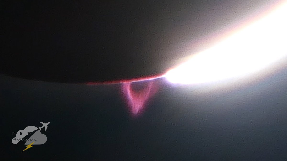
Those little red ''loops'' or dots you saw within the sun's corona during the total solar eclipse are called prominences. They are titanic plasma and magnetic field structures many times larger than Earth. 📸 David Stewart in Jackson, MO. KMBC James Spann #StormHour

Those little red ''loops'' or dots you saw within the sun's corona during the total solar eclipse are called prominences. They are titanic plasma and magnetic field structures many times larger than Earth. 📸 David Stewart in Jackson, MO. @kmbc @spann @StormHour
account_circle
Nick Bender(@NickBenderKMBC) 's Twitter Profile Photo

⚡A broad area of favorable ingredients for severe thunderstorms will likely be in place next Monday across parts of the Plains & Midwest. A 3/5 (Enhanced Risk) has been issued for parts of Oklahoma including OKC. Lower chances for the Kansas City area. KMBC

⚡A broad area of favorable ingredients for severe thunderstorms will likely be in place next Monday across parts of the Plains & Midwest. A 3/5 (Enhanced Risk) has been issued for parts of Oklahoma including OKC. Lower chances for the Kansas City area. #OKwx #KSwx #MOwx @kmbc
account_circle
Matthew Smith(@MatthewKCWX) 's Twitter Profile Photo

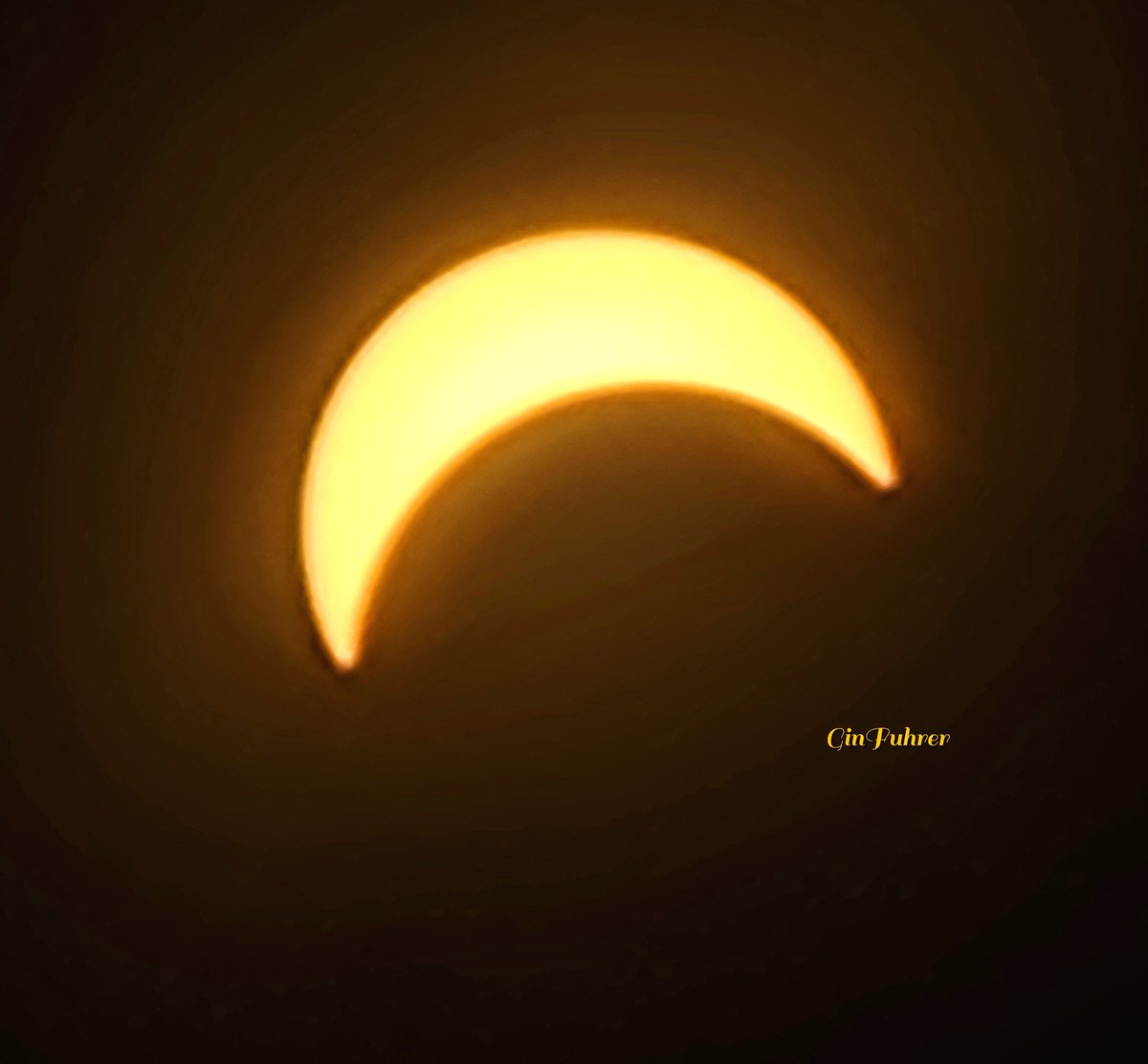
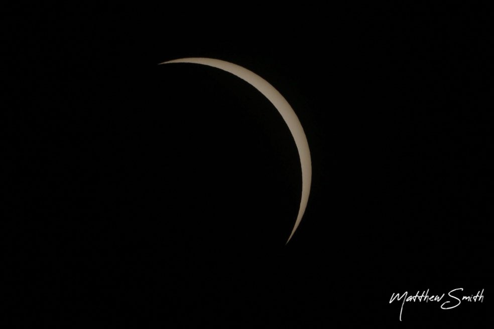
I may not have the best photos since I wasn’t able to get to full totality but I was lucky enough to get 94.4% totality and still enjoy the experience.

📍Osceola, MO.

Live Storm Chasers
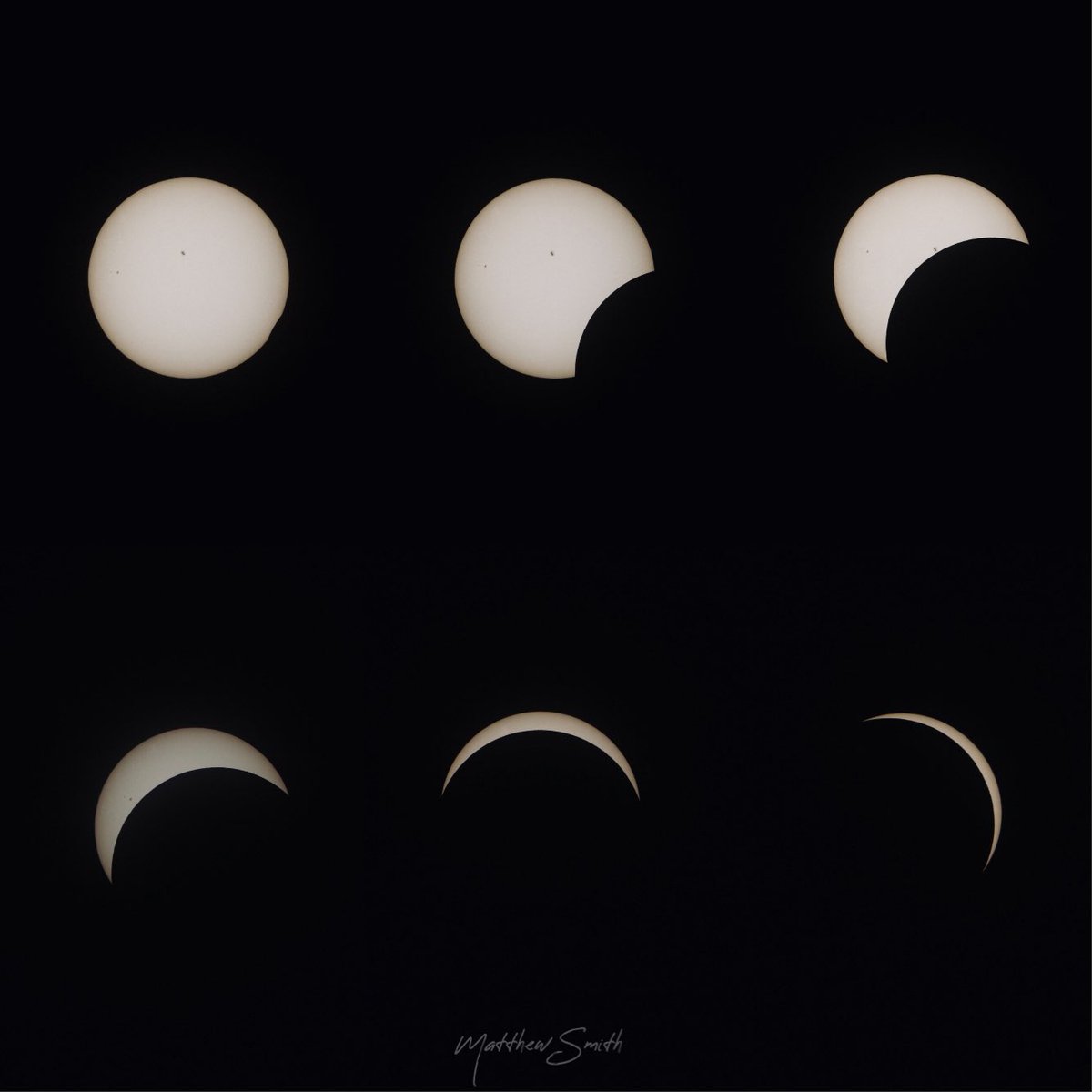
I may not have the best #EclipseSolar2024 photos since I wasn’t able to get to full totality but I was lucky enough to get 94.4% totality and still enjoy the experience. 📍Osceola, MO. @LiveStormChaser
account_circle
NWS Kansas City(@NWSKansasCity) 's Twitter Profile Photo

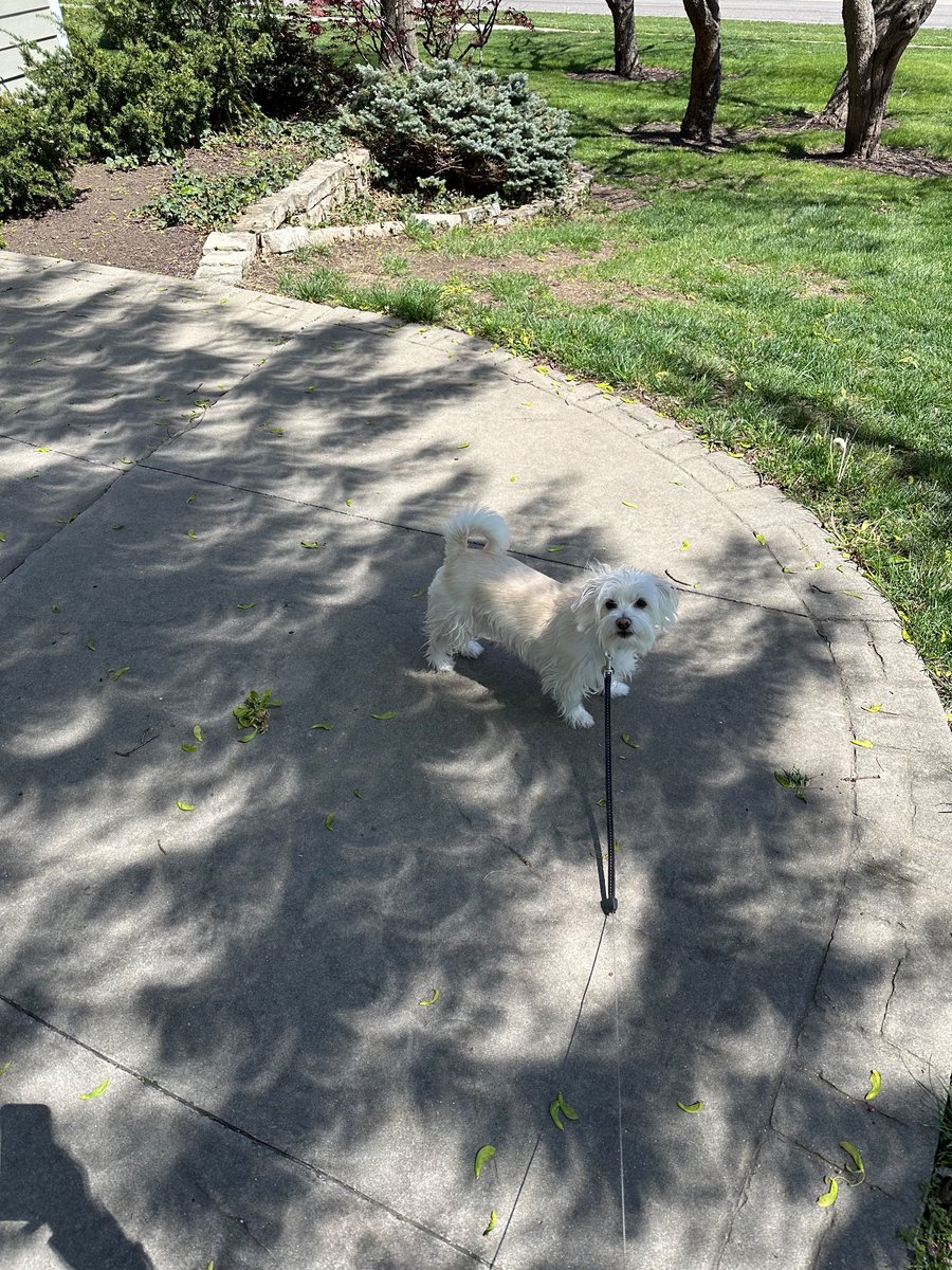
Temperature at the office has dipped four degrees here at the office since the start of the eclipse... we're on eclipse and temperature watch!

account_circle