MetWatch ☈(@MetWatchUK) 's Twitter Profileg
MetWatch ☈

@MetWatchUK

A weather enthusiast providing the latest UK weather updates, and reliable forecasts.

Occasional landscape photography postsπŸ“Έ & worldwide severe weather news.

ID:1232246369177473024

calendar_today25-02-2020 10:10:11

12,4K Tweets

6,7K Followers

351 Following

Follow People
MetWatch ☈(@MetWatchUK) 's Twitter Profile Photo

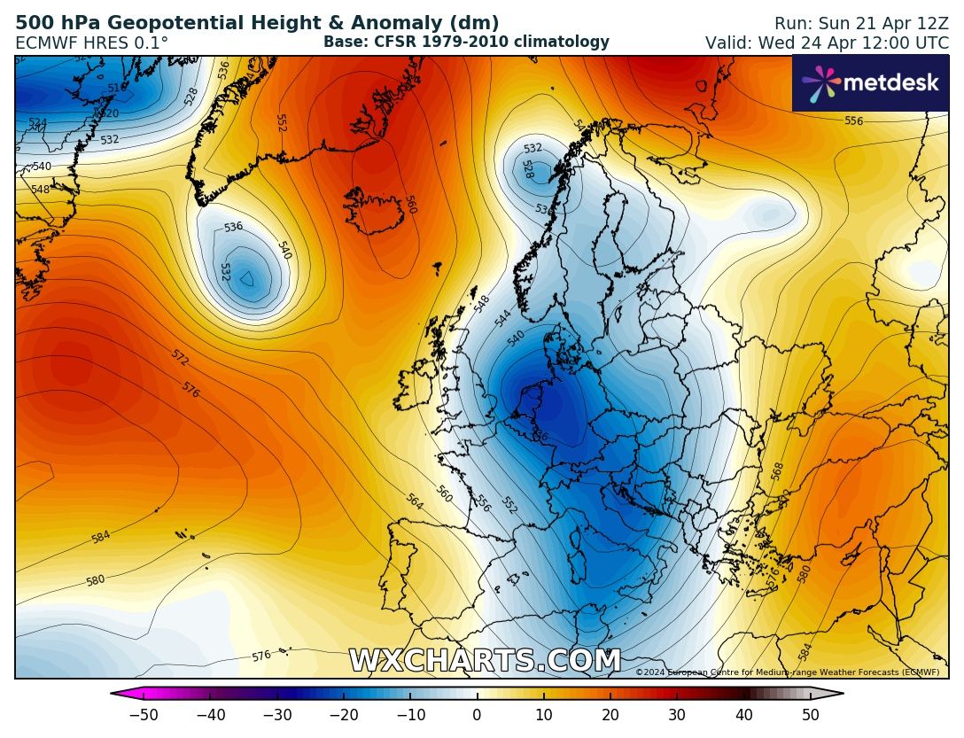
Temperatures on the rise in the coming week as low pressure stalls to the west - SW of the country. High teens - low 20s possible CN / Eastern areas Tuesday - Friday.

However still some rain expected, particularly in the west, & a small risk of thunderstorms mid week.

Temperatures on the rise in the coming week as low pressure stalls to the west - SW of the country. High teens - low 20s possible CN / Eastern areas Tuesday - Friday. However still some rain expected, particularly in the west, & a small risk of thunderstorms mid week. #ukweather
account_circle
MetWatch ☈(@MetWatchUK) 's Twitter Profile Photo

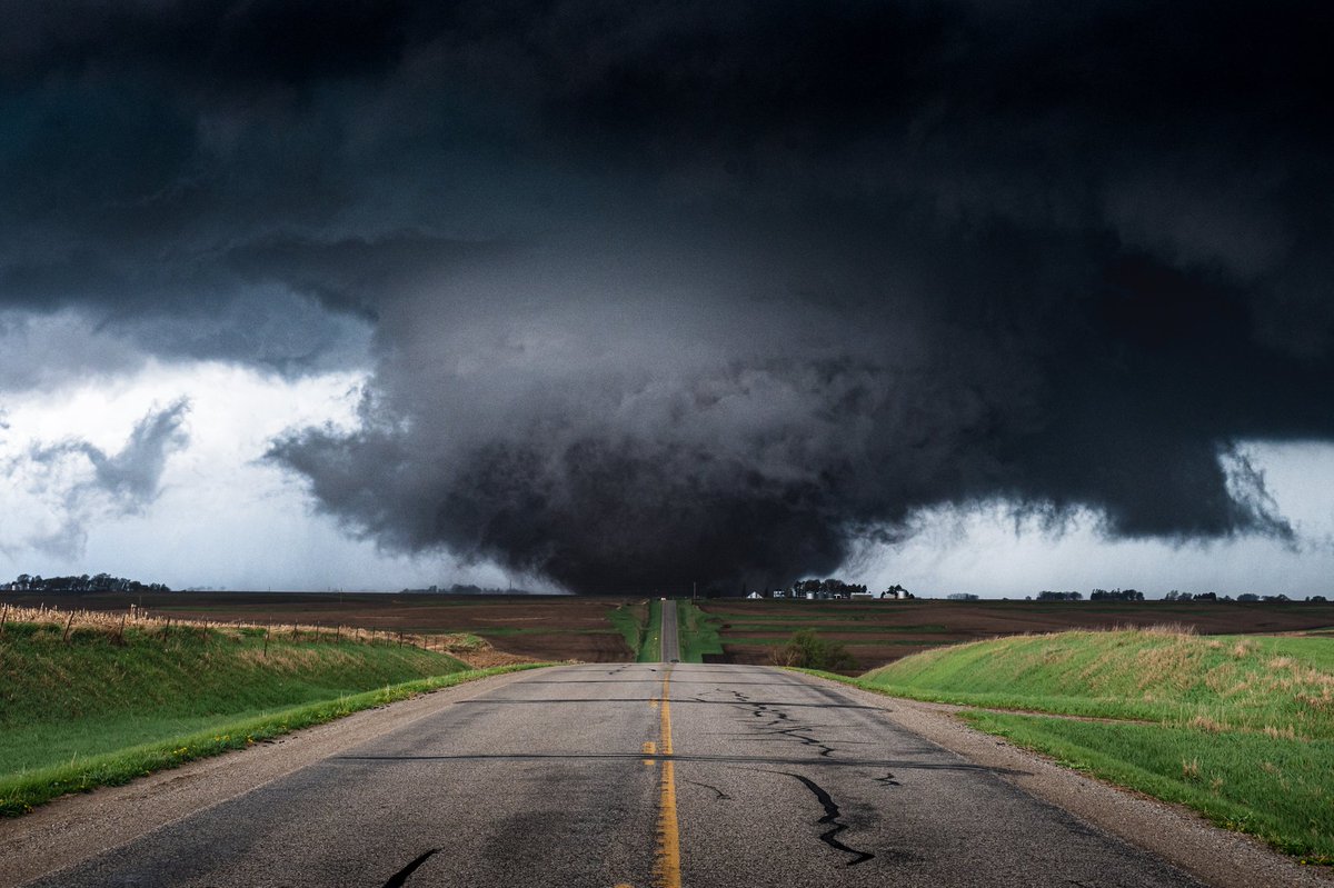
Huge wedge tornado near Bennington, Nebraska in the last half hour. The worst case scenario looks to be unfolding with today's tornado outbreak. Video taken by Kyle Dodds

account_circle
MetWatch ☈(@MetWatchUK) 's Twitter Profile Photo

Huge wedge tornado near Bennington, Nebraska in the last half hour. The worst case scenario looks to be unfolding with today's tornado outbreak. Video taken by Kyle Dodds

account_circle
MetWatch ☈(@MetWatchUK) 's Twitter Profile Photo

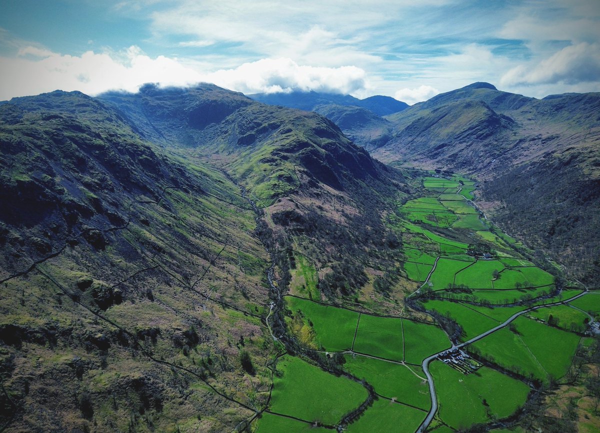
St Sunday Crag, the 22nd highest fell in the Lake District standing at 841m.

Looked gorgeous when ascending Helvellyn. A rather underrated fell as it's certainly one of my favourite looking but lesser known fells!

St Sunday Crag, the 22nd highest fell in the Lake District standing at 841m. Looked gorgeous when ascending Helvellyn. A rather underrated fell as it's certainly one of my favourite looking but lesser known fells! #LakeDistrict
account_circle
MetWatch ☈(@MetWatchUK) 's Twitter Profile Photo

Late April 1981 brought up to 2 feet of snow in the Cotswolds and Peak District with some cities seeing 20-30cm!

60cm Berry Hill Gloucestershire, 30cm Sheffield, Birmingham 10cm, 15cm Coventry, 59cm in Middleton, Derbyshire at 270m elevation.

Late April 1981 brought up to 2 feet of snow in the Cotswolds and Peak District with some cities seeing 20-30cm! 60cm Berry Hill Gloucestershire, 30cm Sheffield, Birmingham 10cm, 15cm Coventry, 59cm in Middleton, Derbyshire at 270m elevation.
account_circle
MetWatch ☈(@MetWatchUK) 's Twitter Profile Photo

St Sunday Crag, the 22nd highest fell in the Lake District standing at 841m.

Looked gorgeous when ascending Helvellyn. A rather underrated fell as it's certainly one of my favourite looking but lesser known fells!

St Sunday Crag, the 22nd highest fell in the Lake District standing at 841m. Looked gorgeous when ascending Helvellyn. A rather underrated fell as it's certainly one of my favourite looking but lesser known fells! #LakeDistrict
account_circle
MetWatch ☈(@MetWatchUK) 's Twitter Profile Photo

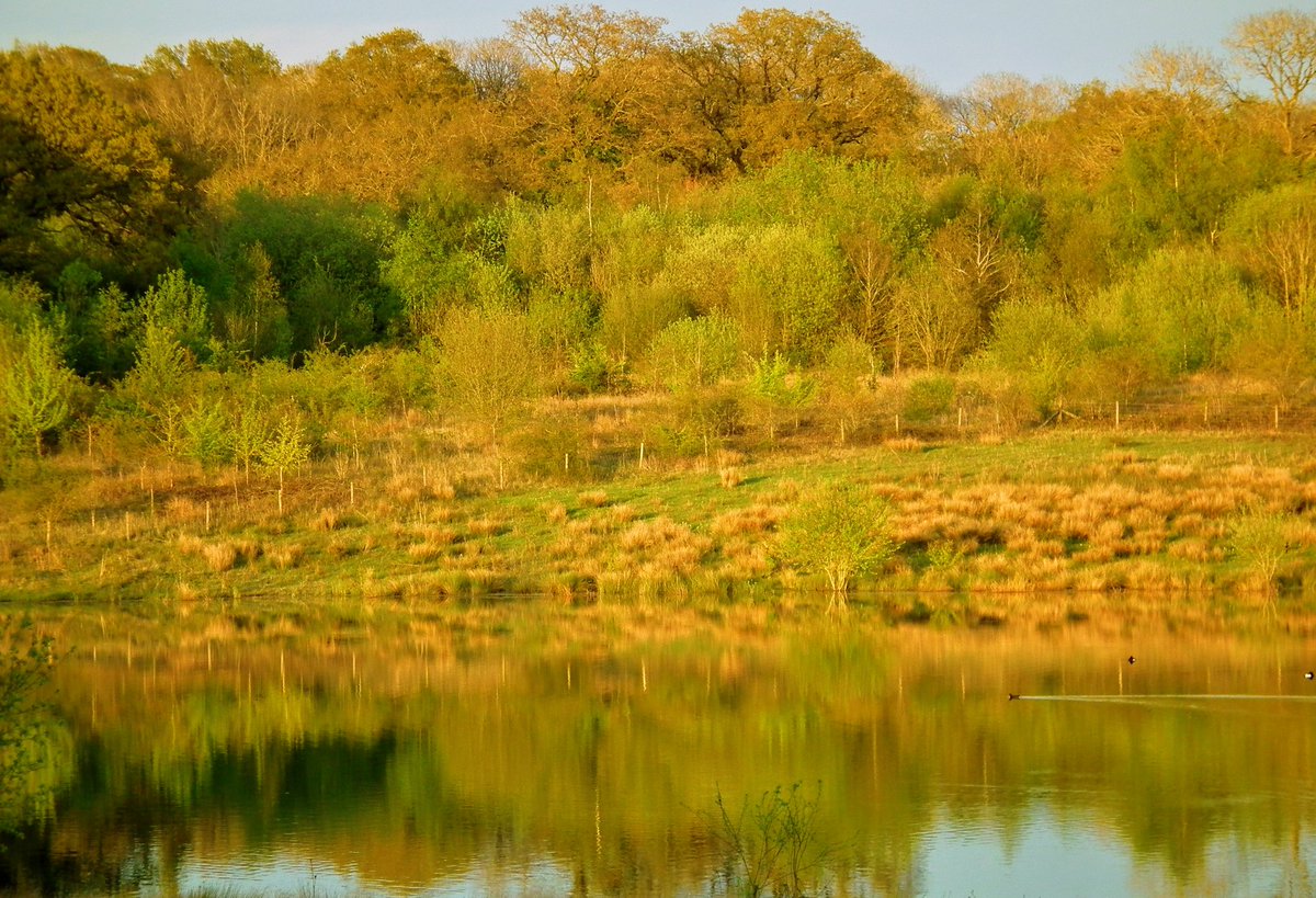
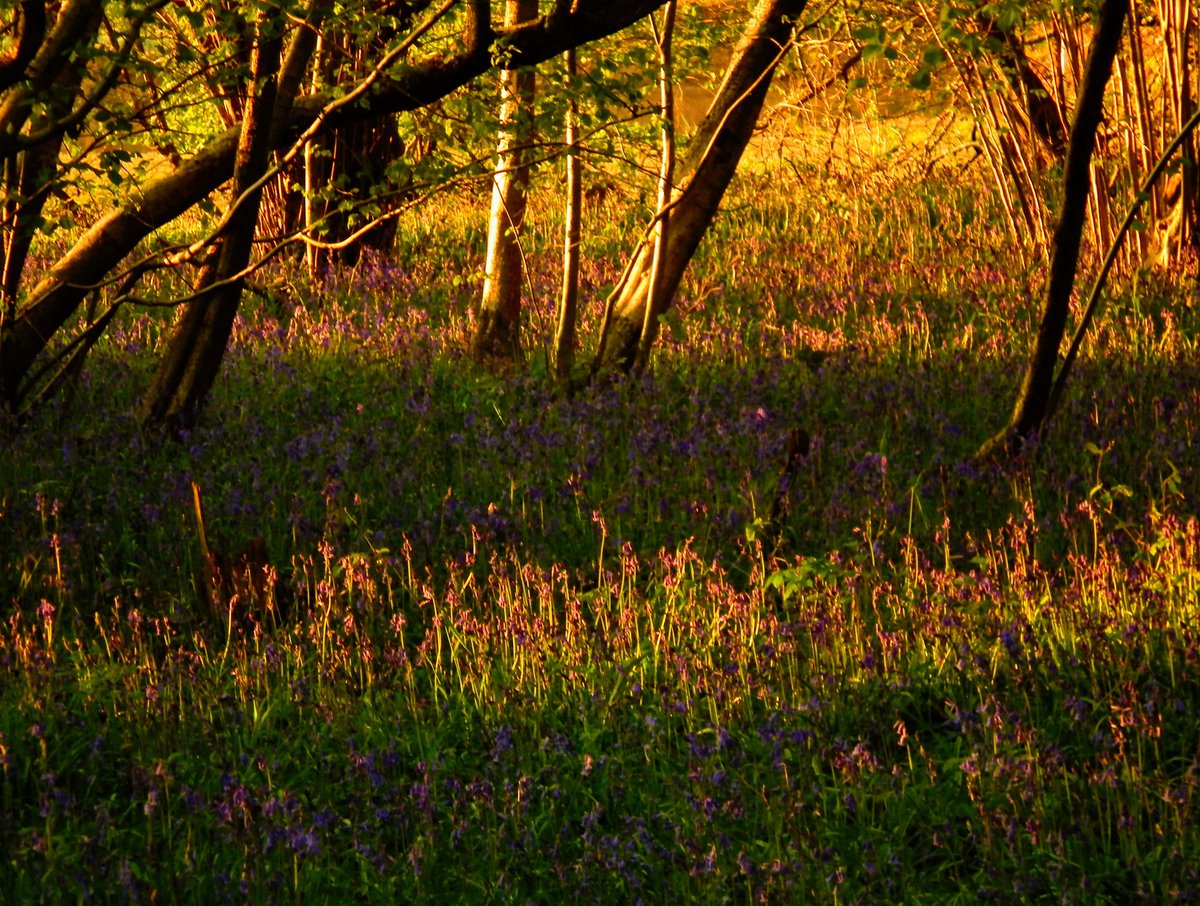
Bluebells in the Warwickshire woodlands near Coventry from this weekend.

Always a lovely time of year when everything is turning green and is coming back to life after the winter.

Warwickshire Wildlife Trust

Bluebells in the Warwickshire woodlands near Coventry from this weekend. Always a lovely time of year when everything is turning green and is coming back to life after the winter. #photography #flowers #landscapephotography #ThePhotoHour @WKWT
account_circle
MetWatch ☈(@MetWatchUK) 's Twitter Profile Photo

A brief bite of winter tomorrow as some light rain moves southwards, supressing temperatures to the mid single digits for central areas.

However turning brighter from Tuesday, but likely remaining showery with low pressure nearby. Temperatures recovering slowly.

A brief bite of winter tomorrow as some light rain moves southwards, supressing temperatures to the mid single digits for central areas. However turning brighter from Tuesday, but likely remaining showery with low pressure nearby. Temperatures recovering slowly. #ukweather
account_circle
MetWatch ☈(@MetWatchUK) 's Twitter Profile Photo

Snowy scenes in the Taunus Mountains Germany recently which aren't overly high.

A strange April for many areas of Europe with massive temperature swings, going from summer to winter rapidly. Quite damaging for crops or other plants following early flowering.

account_circle