URISA's GISCorps
@giscorps
GISCorps coordinates short-term, volunteer-based GIS services to communities in need worldwide. BlueSky: bsky.app/profile/giscor…
ID: 286931902
24-04-2011 00:28:41
1,1K Tweet
3,3K Followers
1,1K Following

Add it to your schedule! Don't miss the URISA's GISCorps annual update on Wednesday, July 17 from 11:30 AM to 12:30 PM PT in Room 12 during the #EsriUC. GISCorps’ Founder, Shoreh Elhami, will provide a brief update, followed by a meet and greet with attendees. We hope you can join us!


Three weeks remain for #GISPro2024 early bird registration and exhibit booth space discounts. Make your plans soon! urisa.org/page/GIS-Pro20… Esri Partners GPN VC (URISA) NEURISA Maine GIS User Group URISA's GISCorps


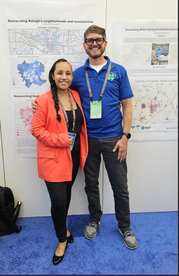
How will you contribute to #GIS4Good? Stop by the URISA's GISCorps display in the #EsriUC Map Gallery and find out about projects, volunteer opportunities, and ways that you can make an impact. (If you miss us there, drop by URISA's booth in the exhibit hall: #107)


Volunteer Emilie Pratt (Emilie Pratt) is helping the URISA Climate and Community Resiliency Committee (& NAPSG Foundation) to refresh their AGO Experience Builder app to enhance guidance and documentation on climate and social science indices! 📷 Read more: giscorps.org/urisa_ccrc_388/

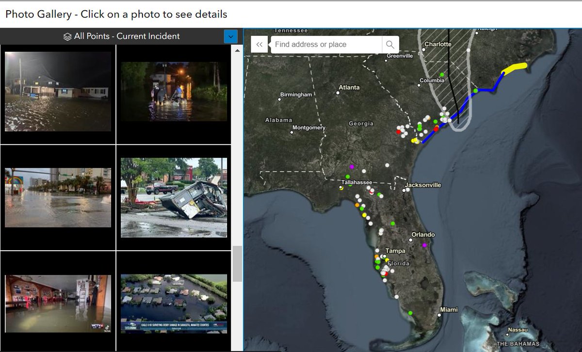
#PhotoMappers have been hard at work. 170 photos of damage from #HurricaneDebby mapped and counting. URISA's GISCorps CEDR Digital Corps NAPSG Foundation


Volunteer Hannah Ritter helped Redlands Chamber use GIS to drive local business growth by creating an interactive map of the Chamber's member businesses and developing Business Analyst reports about Redlands' residents. 📷📷 Read more: bit.ly/3SRdhMu #GISforGood


🥔🗺️ ᴘᴏᴋᴀᴛᴇᴏ ᴍᴀᴘs This week I’m volunteering with the #PhotoMappers & URISA's GISCorps in response to TC Francine! Anyone can join by signing up: giscorps.org/join-giscorps/


These photos of damage from #Helene are devastating. It is inspiring to see everyone coming together to help these communities & support the response, including digital vols who have mapped over 230 photos of damage across 8 states. URISA's GISCorps CEDR Digital Corps #PhotoMappers
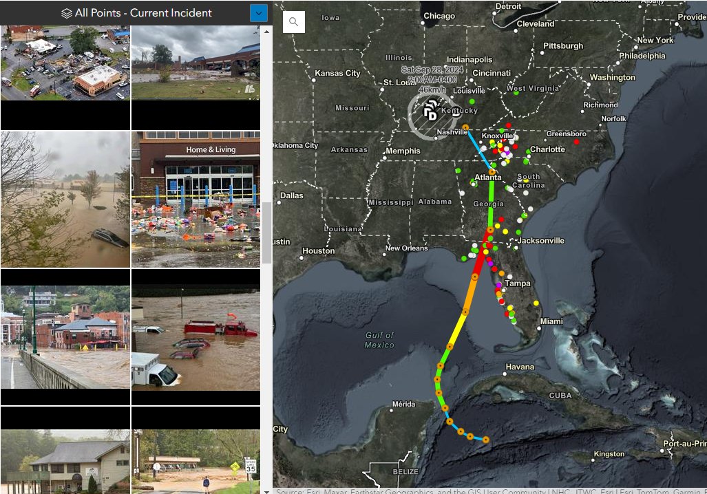


FEMA NRCC GIS group produced the map showing in the background displaying #PhotoMappers images overlayed with accumulated precip for TC Helene. These maps were used to brief Administrator Criswell and VP Harris. Amazing work by URISA URISA's GISCorps vols mapping 660+ photos of damage!

Go Team Go! Photomappers help fill gaps in situational awareness before response teams are able to safely access impacted areas. Join us URISA's GISCorps. #PhotoMappers #VirtualVolunteers #GISforGood #GISCorps


