
Francesca Cigna
@fracigna
Senior researcher in EO @CnrIsac, environmental engineer, Earth sciences PhD, observing Earth surface processes from space with #SAR & #InSAR. Views are my own
ID: 865920920317198336
https://www.isac.cnr.it/en 20-05-2017 13:23:30
1,1K Tweet
640 Takipçi
549 Takip Edilen

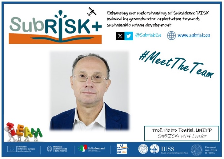
Meet pietro_teatini SubRISK+ WP4 leader and Associate Professor in Hydraulic and marine contructions and hydrology Università di Padova He leads SubRISK+ Advanced local scale numerical modeling for #subsidence assessment
In this forum article led by Mahdi Motagh, a team of scientists discusses the critical role of a data-driven #nexus approach in understanding hazards related to #landslides & #land_subsidence Link to paper-> link.springer.com/article/10.100… UNESCO Land Subsidence International Initiative Shagun Garg Francesca Cigna


#MeetTheTeam SubRISK+ ! Meet Roberta Paranunzio, SubRISK+ WP6 leader, researcher in #NaturalRisks CNR ISAC. She leads the future #hazard #vulnerability #exposure #scenarios analysis using #CORDEX, satellite Copernicus EU #LULC maps & urban settlement data


📣We’re hiring. We are looking for a highly motivated researcher for activities related to land subsidence risk in urban areas to join our SubRISK+ team. Don’t miss this wonderful opportunity at IUSS PAVIA To apply: iusspavia.it/it/node/2526 Deadline: 28/11/2024 - 12:00 NextGenerationEU


🌟Our SubRISK+ team has participated in the 1st West African Workshop on Coastal Land Subsidence organized under the auspices of the UNESCO LASII, funded by the Agence Française de #Développement (AFD) 🇫🇷 🇪🇺 and hosted by the University of Ghana. afd.fr/en/actualites/…


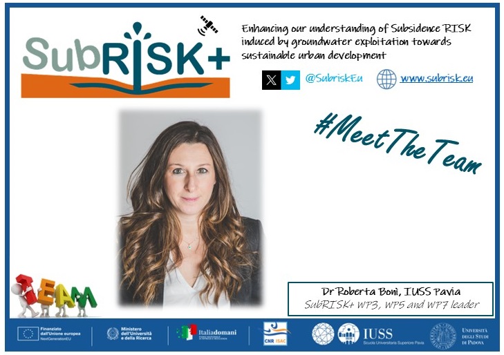
#MeetTheTeam@SubriskEu ! Meet Roberta Bonì SubRISK+ WP3, WP5 and WP7 leader, Assistant Professor in #in Physical Geography and Geomorphology IUSS PAVIA. She leads SubRISK+ regional scale land #subsidence assessment using #InSAR and evaluation of socio-economic impacts


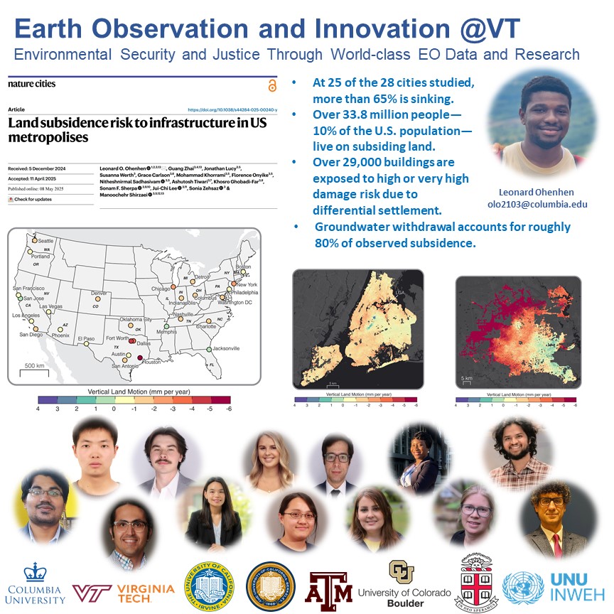
**** NEW PAPER ALERT **** Just published in nature Cities, led by Dr. Ohenhen (Leonard Ohenhen) and in collaboration with two generations of researchers from Earth Observation & Innovation @VT and Hydrologic Innovation & Remote Sensing @VT of Virginia Tech Science, we map #sinkingland at 28 major #US cities. The results are eye-opening and


🔔 New paper alert! 🔔 Land MDPI Environmental Challenges & Vanishing #Archaeological Landscapes: 🛰 #RemoteSensing Insights into the #Climate–#Water–#Agriculture–#Heritage Nexus in #Iraq ➡doi.org/10.3390/land14… Louise Rayne Deodato Tapete Jaafar Jotheri جعفر الجوذري Abdulameer Algabri




SUBRISK+ team was at European Space Agency's Living Planet Symposium in Vienna last week, sharing insights on land #subsidence #Risk mapping in Italy using European Ground Motion Service #EGMS 🛰️data!


