Devon Lucie (@devonwdsu) 's Twitter Profile
Devon Lucie

@devonwdsu

#Dad #OU grad #WIU alum #AMS certified, amateur cook, sports junkie, Emmy Award winner, part of the #WDSU Weather Team keeping you safe & informed. 501.680.7899

ID: 1458154075430731777

calendar_today09-11-2021 19:26:42

5,5K Tweet

1,1K Followers

940 Following

Devon Lucie (@devonwdsu) 's Twitter Profile Photo

Been a GREAT day with the wdsu big summer food drive to benefit 2ndHarvestGNOA! Also, phenomenal drop ins from the legendary chief meteorologist emeritus Margaret Orr and the one and only Ro Brown! Thank you for all the donations!
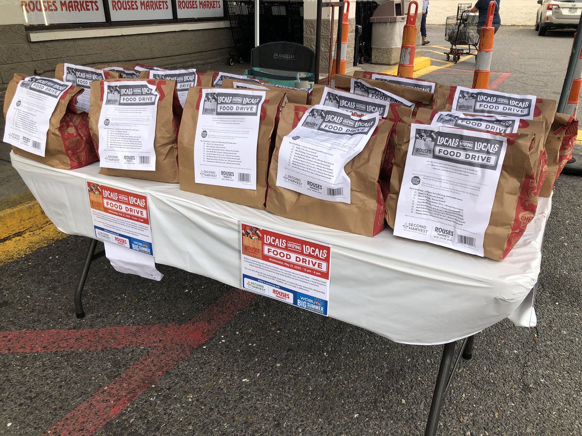
Been a GREAT day with the <a href="/wdsu/">wdsu</a> big summer food drive to benefit <a href="/2ndHarvestGNOA/">2ndHarvestGNOA</a>! Also, phenomenal drop ins from the legendary chief meteorologist emeritus <a href="/MargaretOrr/">Margaret Orr</a> and the one and only Ro Brown! Thank you for all the donations!
DaSouljaOfFortune (@maj_catastrophe) 's Twitter Profile Photo

Margaret Orr Rouses Markets wdsu So nice to finally meet Ma Meg, Devon Lucie & Ro Brown at Rouses Markets doing their part in helping to feed our less-fortunate. Gotta say, these are some of THEE nicest ppl I’ve ever met. We’ve got to do this again sometime
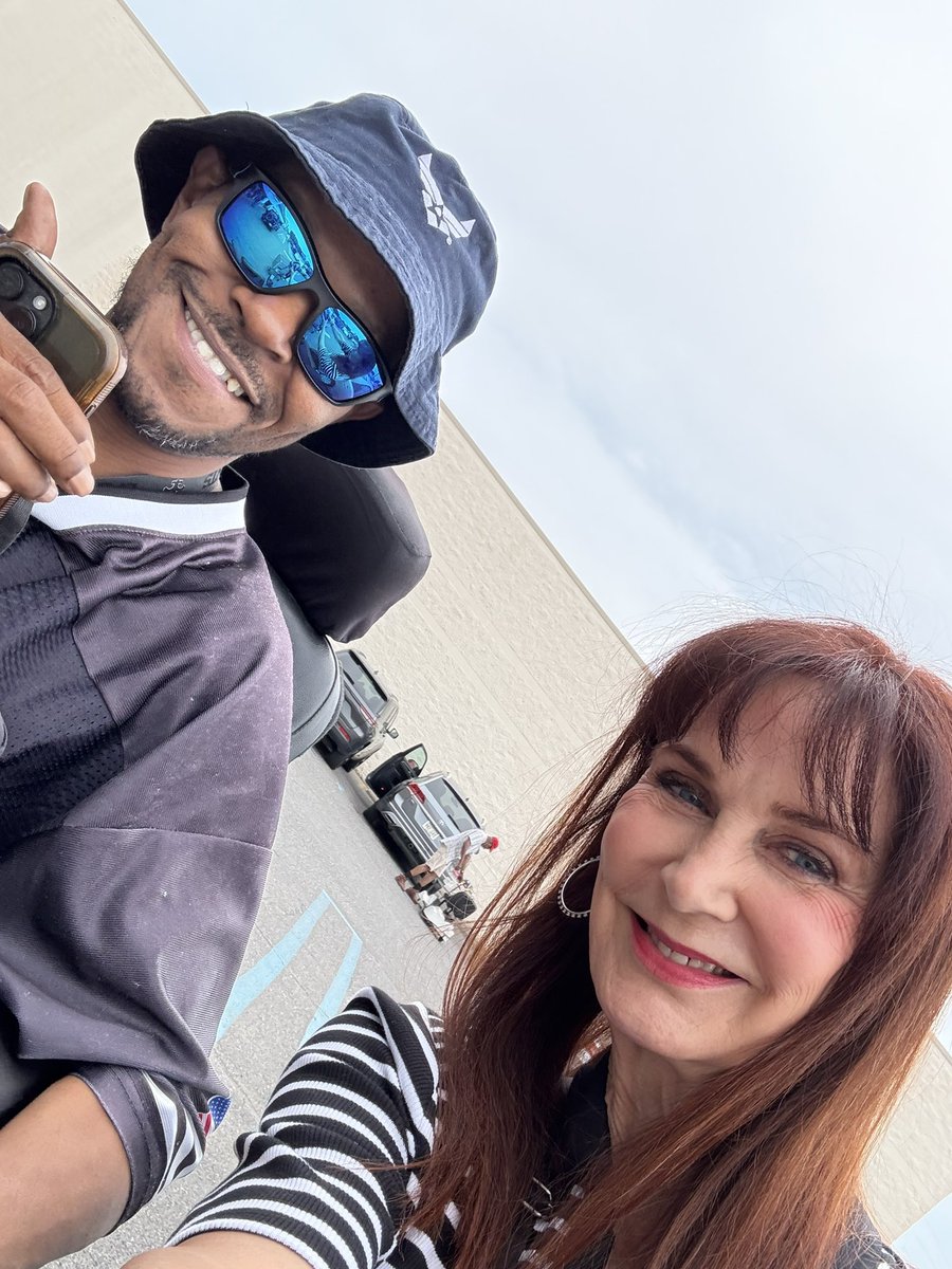
<a href="/MargaretOrr/">Margaret Orr</a> <a href="/RousesMarkets/">Rouses Markets</a> <a href="/wdsu/">wdsu</a> So nice to finally meet Ma Meg, <a href="/DevonWDSU/">Devon Lucie</a> &amp; Ro Brown at <a href="/RousesMarkets/">Rouses Markets</a> doing their part in helping to feed our less-fortunate. Gotta say, these are some of THEE nicest ppl I’ve ever met. We’ve got to do this again sometime
DaSouljaOfFortune (@maj_catastrophe) 's Twitter Profile Photo

Devon Lucie took a bit of a field trip to the Jefferson Emergency Operations Center to tells us more about what we can expect pertaining to storm threats and hurricane warnings

Devon Lucie (@devonwdsu) 's Twitter Profile Photo

A weather Impact Day for storms that have brought hail, torrential rain, and gusty winds to nearly all of Southeast Louisiana. Storms will wind down after sunset and fade completely tonight, but we'll do it all over again each day this Memorial Day weekend. wdsu

Devon Lucie (@devonwdsu) 's Twitter Profile Photo

Strong, even a severe storms over Hammond that dropped hail up to the size of nickels from the reports I got. That triggered a wdsu First Warning Weather Impact Day. These were lake breeze initiated storms, and the same could come each day this Memorial Day weekend.

Devon Lucie (@devonwdsu) 's Twitter Profile Photo

Tracking strong storms through this afternoon and into this evening. The strongest storms should remain north of New Orleans tonight. wdsu

Devon Lucie (@devonwdsu) 's Twitter Profile Photo

Tracking storms expected to develop through the afternoon hours, and following a cluster of storms that should bring us our likeliest round of rain later this evening. wdsu

Devon Lucie (@devonwdsu) 's Twitter Profile Photo

Severe Thunderstorm Warning for parts of our River Parishes until 1:30 pm for severe winds possibly upwards of 60 mph. The storm is slowly drifting north at only 10 mph. wdsu

Devon Lucie (@devonwdsu) 's Twitter Profile Photo

Storms now firing up across much of Southeast Louisiana, including one right over the city. Storms will slowly drift north at about 10 mph and bring heavy downpours with possible gusty winds. wdsu

Devon Lucie (@devonwdsu) 's Twitter Profile Photo

Flood concerns for New Orleans with Flash Flood Warnings until 5:30 pm and 6 pm, and a threat of severe storms for the Northshore as a Severe T-Storm Watch is in effect until 9 pm. wdsu

Devon Lucie (@devonwdsu) 's Twitter Profile Photo

More Flash Flood Warnings for the Westbank until 7:15 pm and Severe T-Storm Warnings for northern portions of Tangipahoa Parish and Northwestern Washington Parish until 5 pm. ANOTHER complex of storms will move in later compounding the flood threat across the region. wdsu

Devon Lucie (@devonwdsu) 's Twitter Profile Photo

Tracking a second wave of storms moving in this evening. This also poses a threat for borderline severe storms with possible wind gusts to 50 mph, but really poses another flood risk with all the rain that fell earlier today. wdsu

Devon Lucie (@devonwdsu) 's Twitter Profile Photo

A Flash Flood Warning has been issued for much of the New Orleans Metro until 4:15 pm. Radar estimates that 1"-2" of rain has already fallen and another 1"-2" is likely. Scattered storms are forecast to continue through the rest of the afternoon too. wdsu

Shimoji (@roonilwazlib_1) 's Twitter Profile Photo

Yall, DONT DRIVE! Get off the road! Carrollton underpass closed, 2ft of water, Tulane under, mid city under, there’s even standing water on I10. Most of my way to JP my tires were under. Devon Lucie

Devon Lucie (@devonwdsu) 's Twitter Profile Photo

Enjoy this weekend’s weather, because Saharan dust will reduce the air quality across the Gulf Coast next Saturday. I’m thinking we could be out in the “orange” air quality alert stage which is “unhealthy for sensitive groups.” wdsu

Enjoy this weekend’s weather, because Saharan dust will reduce the air quality across the Gulf Coast next Saturday. I’m thinking we could be out in the “orange” air quality alert stage which is “unhealthy for sensitive groups.” <a href="/wdsu/">wdsu</a>