Missing Maps(@TheMissingMaps) 's Twitter Profileg
Missing Maps

@TheMissingMaps

A humanitarian project that maps areas to meet the needs of vulnerable communities. An open collaboration building on #OpenStreetMap Join us!

ID:2576444334

linkhttp://www.missingmaps.org/ calendar_today19-06-2014 08:25:31

7,5K Tweet

19,0K Takipçi

3,8K Takip Edilen

Follow People
Missing Maps(@TheMissingMaps) 's Twitter Profile Photo

🌏 A huge thank you to Missing Maps volunteers for organising Missing Maps Day in Olomouc, Czech Republic last month! The hybrid event proved greatly successful.

👏 These events would not be possible without the community volunteers who organise and participate in them!

🌏 A huge thank you to Missing Maps volunteers for organising Missing Maps Day in Olomouc, Czech Republic last month! The hybrid event proved greatly successful. 👏 These events would not be possible without the community volunteers who organise and participate in them!
account_circle
Missing Maps(@TheMissingMaps) 's Twitter Profile Photo

Paul Knight from the British Red Cross 🧡 recently published an article on the impact that Missing Maps has had on BRC Operations. It's an important reminder of the value of Missing Maps projects for humanitarian field operations.

Read the article here: medium.com/digital-and-in….

account_circle
Missing Maps(@TheMissingMaps) 's Twitter Profile Photo

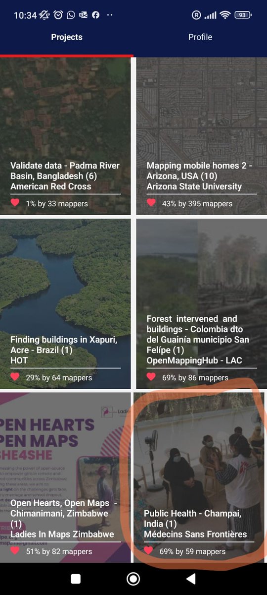
📲 Help @msf with a new Mapswipe project to detect buildings in Mizoram State, India 🇮🇳.

⏱️ The goal is to complete it by the end of this week.

You can download the mapswipe mobile app from the Apple or Play Store.

📲 Help @msf with a new Mapswipe project to detect buildings in Mizoram State, India 🇮🇳. ⏱️ The goal is to complete it by the end of this week. You can download the @mapswipe mobile app from the Apple or Play Store.
account_circle
YouthMappers(@youthmappers) 's Twitter Profile Photo

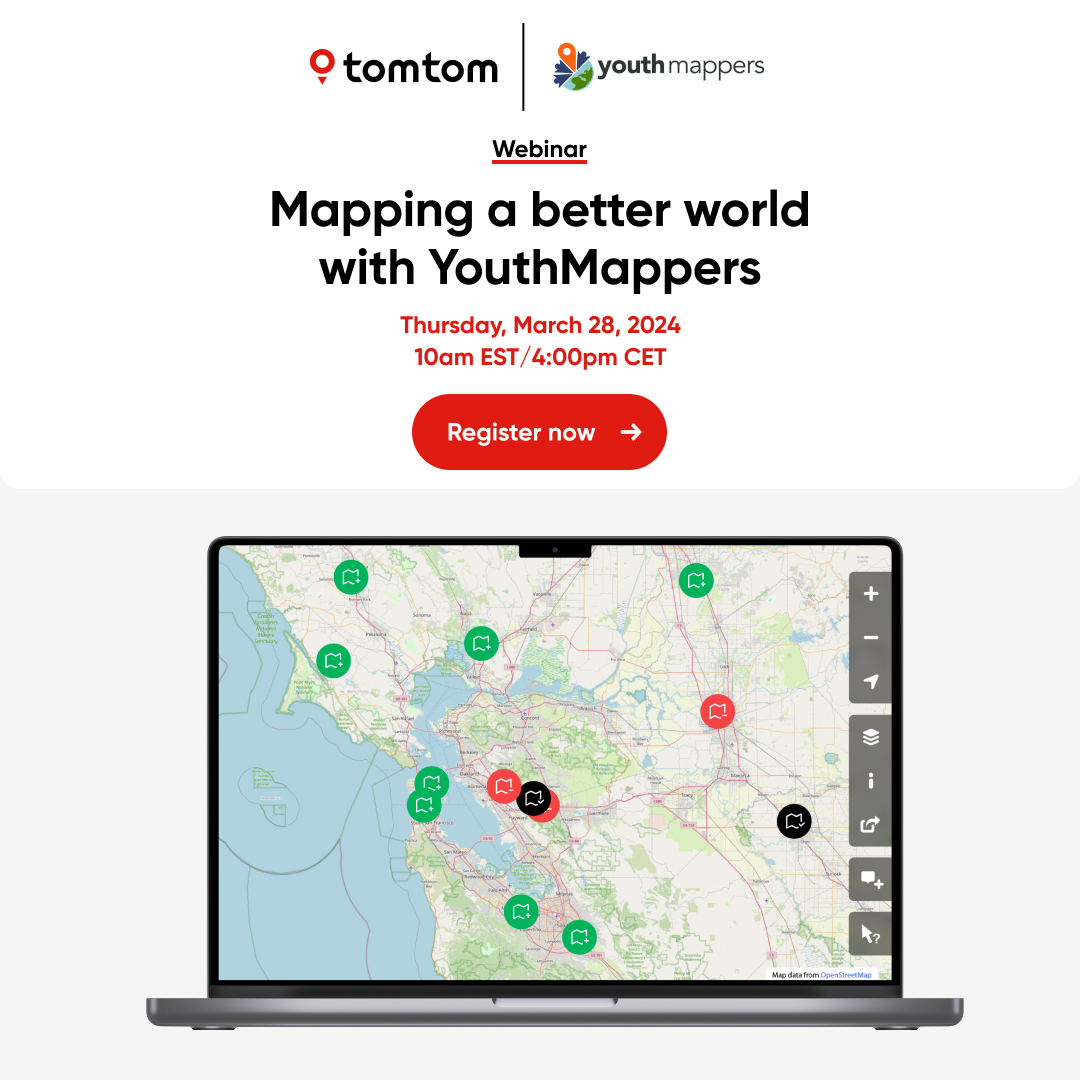
🚨Upcoming Webinar🚨

We are teaming up with TomTom to provide geospatial and engineering mentorship, foster knowledge sharing, improve mapping, and connect with local chapters

Do you want to know more?

Register for our webinar:
🔗tinyurl.com/y3mcrtcp

🚨Upcoming Webinar🚨 We are teaming up with @TomTom to provide geospatial and engineering mentorship, foster knowledge sharing, improve mapping, and connect with local chapters Do you want to know more? Register for our webinar: 🔗tinyurl.com/y3mcrtcp
account_circle
geotetanzania(@Geotetanzania) 's Twitter Profile Photo

Mapathon Day! 🥂🌎

After 3 days of training, today we are hosting a Mapathon where YouthMappers students will be contributing open data to project 16346 on the Tasking manager.

Cheers to Janeth Mwakisole and Ezekiel Kiariro
for coordinating this! 🎉🥂
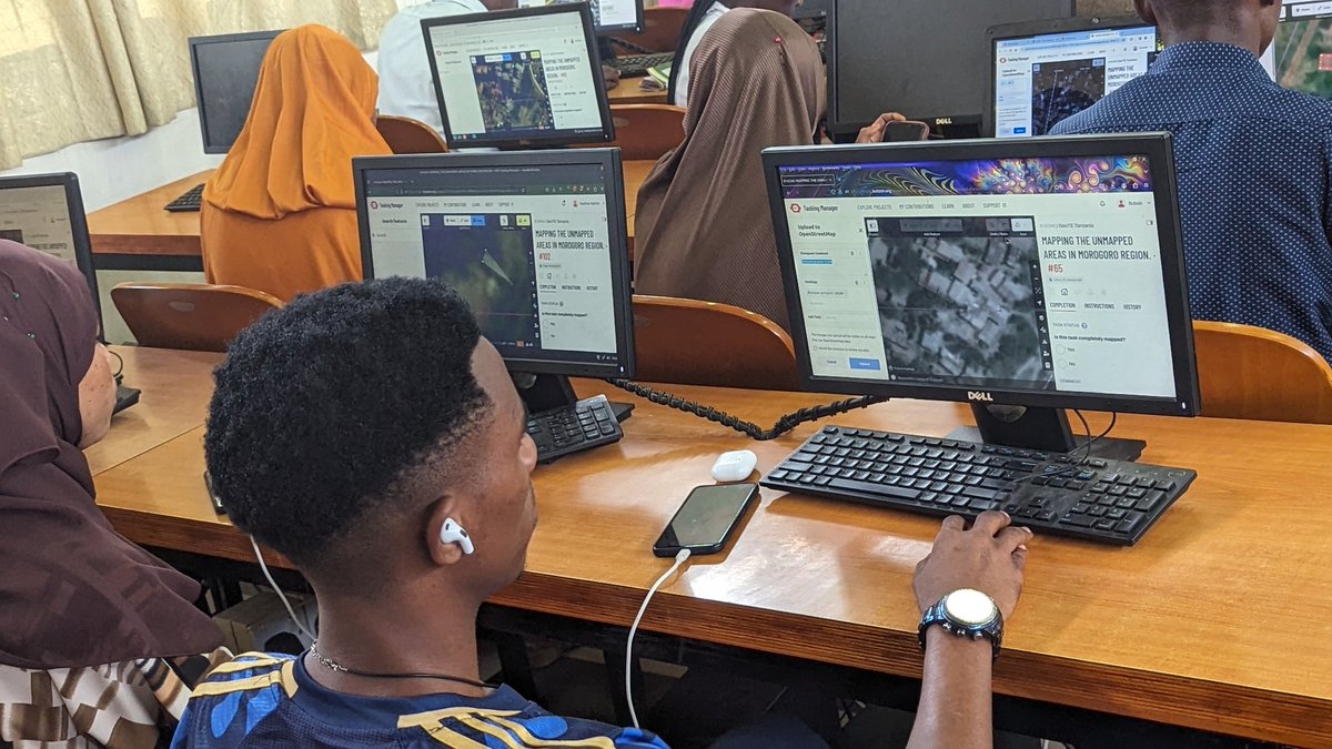
Mapathon Day! 🥂🌎 After 3 days of training, today we are hosting a Mapathon where @youthmappers students will be contributing open data to project 16346 on the Tasking manager. Cheers to @JanethMwakisole and @kiariro_ezekiel for coordinating this! 🎉🥂
account_circle
Open Mapping Hub - Eastern and Southern Africa(@openmapping_esa) 's Twitter Profile Photo

Lend a Hand - Map the Impact of Malawi Floods

The recent floods in Nkhotakota District, Malawi have caused devastation. As mappers, we can make a difference! Join the fight and help map the affected areas tasks.hotosm.org/projects/16303…

account_circle
OpenStreetMap Ethiopia(@osmethiopia) 's Twitter Profile Photo

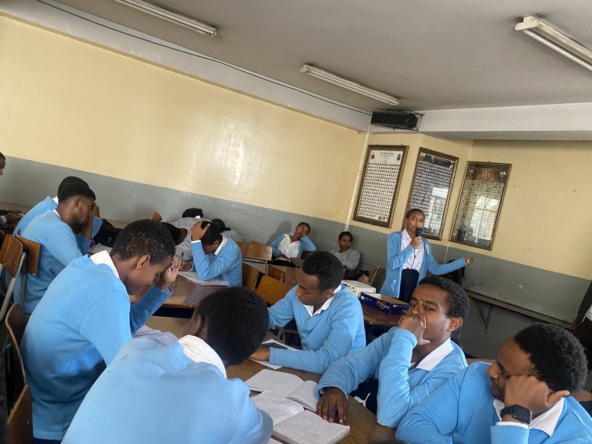
📢 Exciting News! OpenStreetMap Ethiopia reached out to Cathedral School, inspiring, , and students through interactive workshops on mapping and collaboration. Their enthusiasm was truly impressive! 🌟

More schools to come! 🗺️🌍

📢 Exciting News! @osmethiopia reached out to Cathedral School, inspiring, #educating, and #empowering students through interactive workshops on mapping and #community collaboration. Their enthusiasm was truly impressive! 🌟 More schools to come! 🗺️🌍
account_circle
LAC Hub - HOT 🌎(@MapHubLAC) 's Twitter Profile Photo

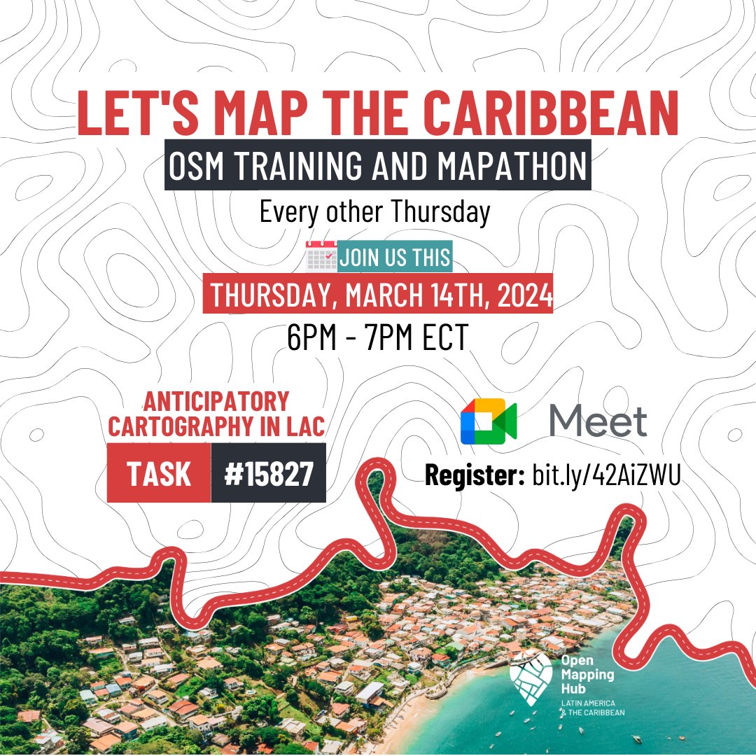
🗺️ Explore how mapping boosts natural hazard resilience! Join Juan Carlos Melo on Thur, March 14th at 6 pm (ECT) to catalyze for Caribbean Community resilience!

This session focuses on anticipatory mapping in the Dominican Republic. 🇩🇴🌴

Register → bit.ly/42AiZWU

🗺️ Explore how mapping boosts natural hazard resilience! Join @juanchopolas1 on Thur, March 14th at 6 pm (ECT) to catalyze #OSM for Caribbean Community resilience! This session focuses on anticipatory mapping in the Dominican Republic. 🇩🇴🌴 Register → bit.ly/42AiZWU
account_circle