ICEYE(@ICEYEfi) 's Twitter Profileg
ICEYE

@ICEYEfi

We manufacture and operate the world's largest SAR satellite constellation 🛰️

ID:2876294235

linkhttps://www.ICEYE.com calendar_today14-11-2014 11:58:06

2,7K Tweets

52,7K Followers

189 Following

ICEYE(@ICEYEfi) 's Twitter Profile Photo

Sandra Erwin writes in SpaceNews about ICEYE raising $93M in an oversubscribed growth funding round: hubs.li/Q02t83550.

account_circle
ICEYE(@ICEYEfi) 's Twitter Profile Photo

Watch our CFO Susan Repo explain the significance of ICEYE’s recent growth funding round as we continue on our mission to enable better decision-making through Earth Observation.

account_circle
ICEYE(@ICEYEfi) 's Twitter Profile Photo

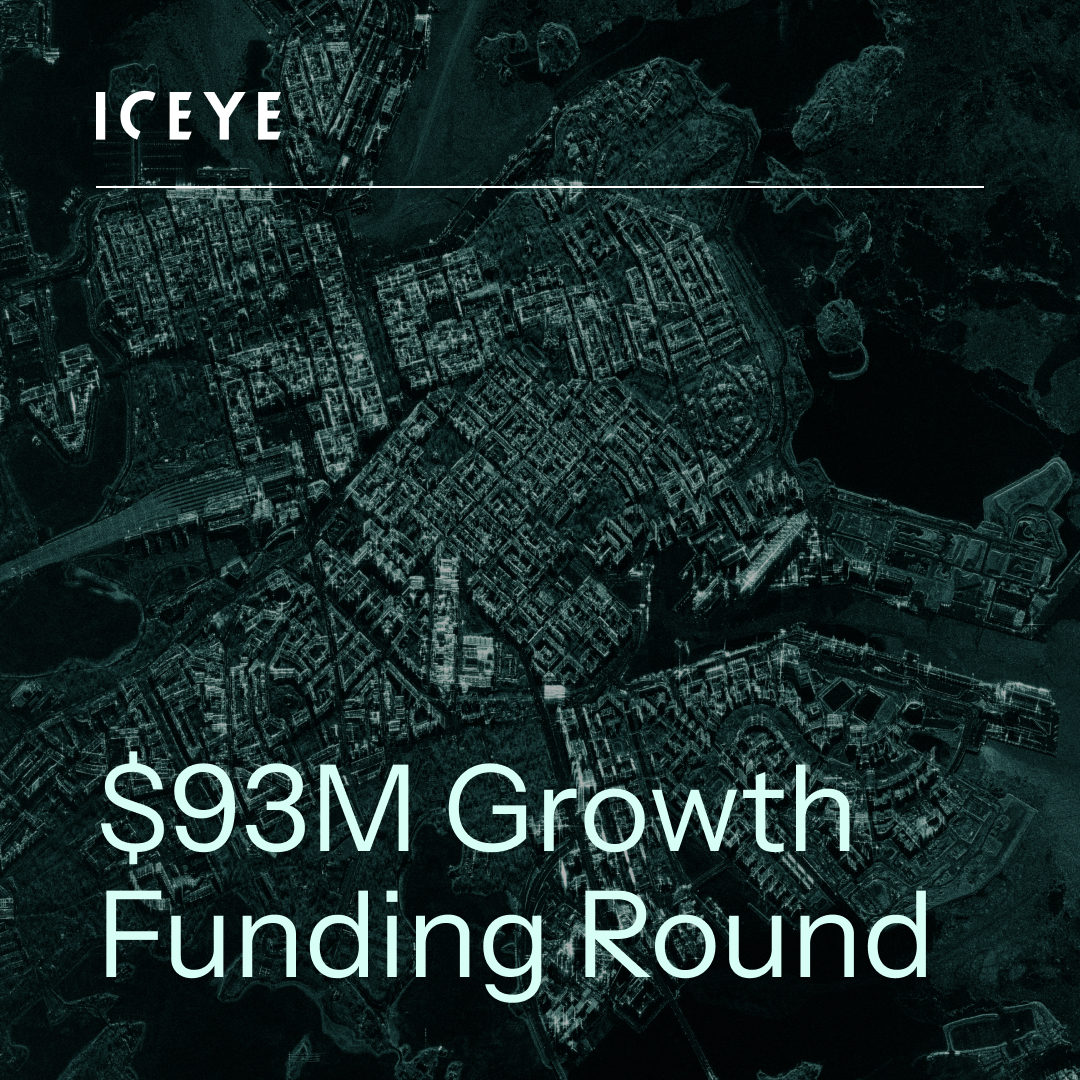
Exciting news! ICEYE signs a $93M growth funding round to accelerate our growth plans 🚀

We will continue expanding our SAR satellite constellation, develop leading SAR data products, and grow our innovative Solutions offerings: hubs.li/Q02t7Gr90.

Exciting news! ICEYE signs a $93M growth funding round to accelerate our growth plans 🚀 We will continue expanding our SAR satellite constellation, develop leading SAR data products, and grow our innovative #NatCat Solutions offerings: hubs.li/Q02t7Gr90.
account_circle
ICEYE(@ICEYEfi) 's Twitter Profile Photo

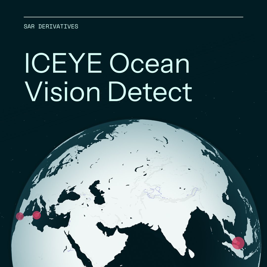
Gain visibility into challenging maritime areas with ICEYE Ocean Vision Detect, which lets you observe vast sea areas and obtain information on possible suspicious vessel traffic. You can make informed decisions quickly, no matter the weather.

Learn more: hubs.li/Q02t70My0

Gain visibility into challenging maritime areas with ICEYE Ocean Vision Detect, which lets you observe vast sea areas and obtain information on possible suspicious vessel traffic. You can make informed decisions quickly, no matter the weather. Learn more: hubs.li/Q02t70My0
account_circle
ICEYE(@ICEYEfi) 's Twitter Profile Photo

Owning a satellite gives you an extra advantage in monitoring your land and sea borders through thick clouds, fog, smoke, and even at night. Watch this video to learn about the benefits of purchasing a SAR satellite from ICEYE.

More: hubs.lu/Q02s-Rxt0.

account_circle
ICEYE(@ICEYEfi) 's Twitter Profile Photo

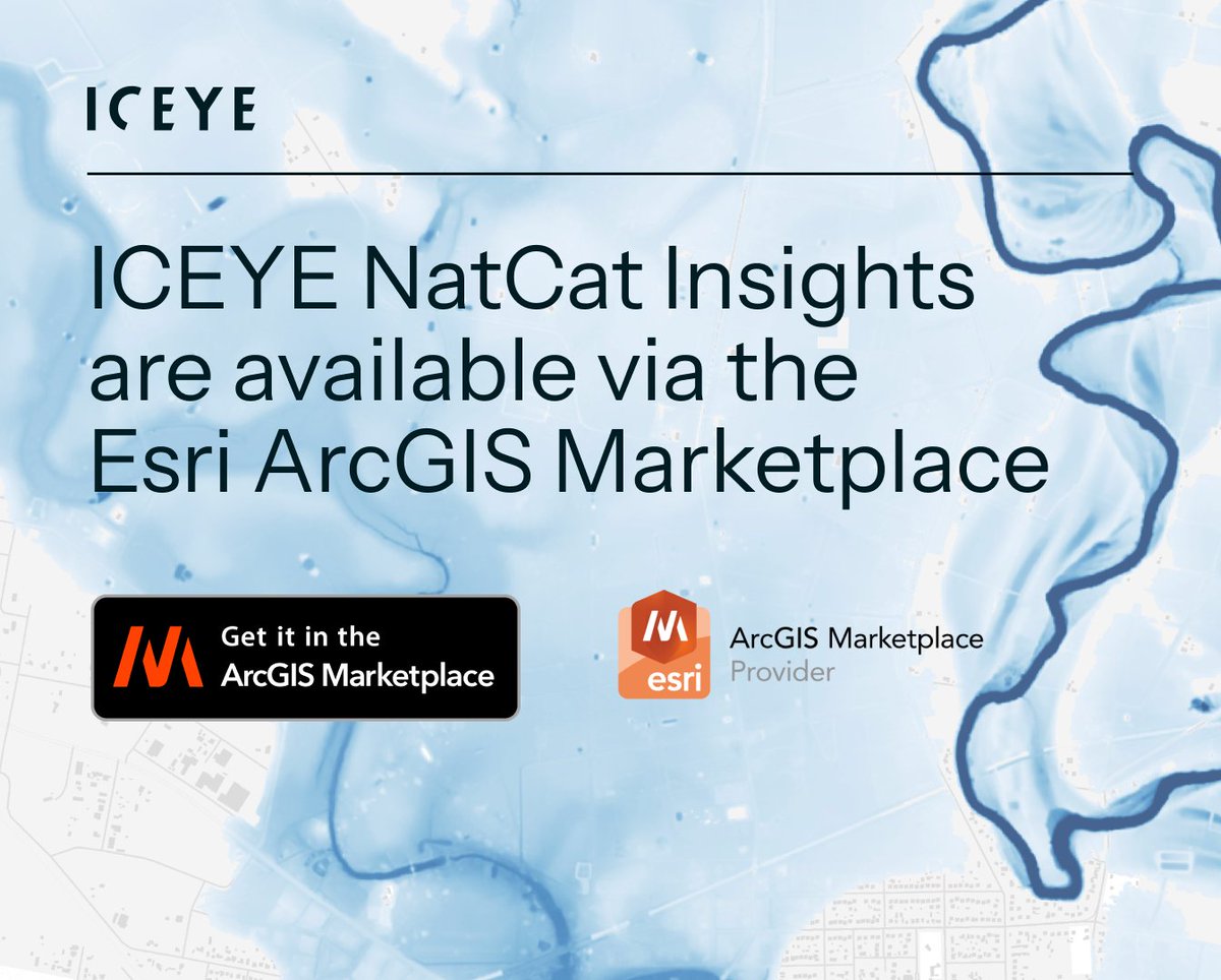
Federal, state, and local governments can now access ICEYE's disaster intelligence through Esri's ArcGIS Marketplace. Integrate high-resolution flood & wildfire impact layers to support your community response, recovery, and resilience efforts: hubs.li/Q02sSW3m0.

Federal, state, and local governments can now access ICEYE's disaster intelligence through @Esri's ArcGIS Marketplace. Integrate high-resolution flood & wildfire impact layers to support your community response, recovery, and resilience efforts: hubs.li/Q02sSW3m0.
account_circle
ICEYE(@ICEYEfi) 's Twitter Profile Photo

Are you curious how ICEYE's observation-driven data can support your business with better situational awareness of hurricanes or wildfires?

📽️ Watch Stephen Lathrope's interview on The Insurer: hubs.lu/Q02sRClP0.
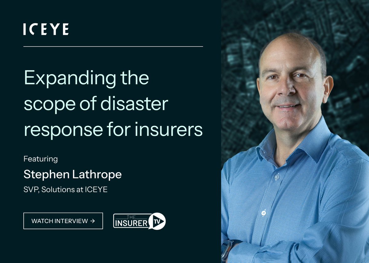
Are you curious how ICEYE's observation-driven data can support your #insurance business with better situational awareness of hurricanes or wildfires? 📽️ Watch Stephen Lathrope's interview on @_theinsurer: hubs.lu/Q02sRClP0.
account_circle
ICEYE(@ICEYEfi) 's Twitter Profile Photo

A storm system brought heavy rain to the eastern USA earlier this week, resulting in significant flash flooding in east TX. Riverine flooding started across parts of TX, LA, AR, and MS.

We produced R1 of our flood extent & depth analysis, indicating ~3.000 impacted buildings.

account_circle
ICEYE(@ICEYEfi) 's Twitter Profile Photo

Join ICEYE at on May 5-8 and learn about our latest SAR imaging innovations.

Our expert team will share details on the new 0.5 m resolution Dwell Fine imaging mode and the recently launched SAR derivative ICEYE Ocean Vision Detect product.

See you in Florida!

Join ICEYE at #GEOINT2024 on May 5-8 and learn about our latest SAR imaging innovations. Our expert team will share details on the new 0.5 m resolution Dwell Fine imaging mode and the recently launched SAR derivative ICEYE Ocean Vision Detect product. See you in Florida!
account_circle
ICEYE(@ICEYEfi) 's Twitter Profile Photo

With the power of ICEYE & Esri's ArcGIS, you can assess flood impacts in near real-time across your community. That includes overlaying flood footprints on existing maps of critical infrastructure.

Protect your vulnerable assets this hurricane season: hubs.li/Q02sBfcf0

With the power of ICEYE & @Esri's ArcGIS, you can assess flood impacts in near real-time across your community. That includes overlaying flood footprints on existing maps of critical infrastructure. Protect your vulnerable assets this hurricane season: hubs.li/Q02sBfcf0
account_circle
ICEYE(@ICEYEfi) 's Twitter Profile Photo

We combine our cloud-penetrating satellite data with DEMs and public data sources, such as river and tidal gauges. The result is actionable flood depth and extent insights that can seamlessly flow into insurers' business and portfolio systems.

More: hubs.li/Q02swnNQ0.

account_circle
ICEYE(@ICEYEfi) 's Twitter Profile Photo

Rainfall caused major riverine flooding in France last week. We've been monitoring the situation, delivering our first flood impact analysis on April 1. To date, we've released 4 analyses of the flood's extent and depth along the Loire River, its tributaries, and the Isle River.

Rainfall caused major riverine flooding in France last week. We've been monitoring the situation, delivering our first flood impact analysis on April 1. To date, we've released 4 analyses of the flood's extent and depth along the Loire River, its tributaries, and the Isle River.
account_circle
ICEYE(@ICEYEfi) 's Twitter Profile Photo

A storm system impacted eastern US earlier this month, causing flash flooding and significant riverine flooding along the Ohio River. We delivered 5 releases of the flood's extent and depth analysis, indicating 6.6K+ impacted buildings. Contact for access: hubs.li/Q02sp0lS0

account_circle
ICEYE(@ICEYEfi) 's Twitter Profile Photo

.Colorado State University shared predictions for the 2024 Atlantic hurricane season, expecting 23 named storms, including 5 hurricanes which could reach Category 3 or higher.

Get ahead of the curve with ICEYE's Flood Solutions. Check our past Flood Briefings at: hubs.li/Q02s63zY0.

account_circle
ICEYE(@ICEYEfi) 's Twitter Profile Photo

Our satellites offer multiple imaging modes, from wide-area collection to a 50 cm resolution Dwell Fine. Combined with the high revisit rates over any location around the globe, Dwell Fine introduces a ground-breaking level of change detection. More: hubs.li/Q02s3Fn70.

Our #SAR satellites offer multiple imaging modes, from wide-area collection to a 50 cm resolution Dwell Fine. Combined with the high revisit rates over any location around the globe, Dwell Fine introduces a ground-breaking level of change detection. More: hubs.li/Q02s3Fn70.
account_circle
Space Impulse(@SpaceImpulseCom) 's Twitter Profile Photo

🛰️ Unveiling the barriers and breakthroughs for SMEs in European space procurement, with insights from ICEYE's Andy Challen. Streamlining engagement and collaboration is essential for Europe's space tech prowess.

spaceimpulse.com/2024/03/27/ove…

account_circle
TaylorGeospatial(@TaylorGeoSTL) 's Twitter Profile Photo

TGI is excited to announce a partnership with ICEYE US to provide our community with Synthetic Aperture Radar.

ICEYE’s constellation of small and agile satellites can revisit the same location in space daily and even sub-daily, providing consistent data to users

account_circle
ICEYE(@ICEYEfi) 's Twitter Profile Photo

Meet ICEYE at FIDAE 2024, Latin America's leading aerospace, defense, and security exhibition. Our team, led by Ana Paula Cordeiro, will be there to discuss how the world's largest SAR satellite fleet can help your nation. See you at Business Finland’s booth D30 C next week!

Meet ICEYE at FIDAE 2024, Latin America's leading aerospace, defense, and security exhibition. Our team, led by Ana Paula Cordeiro, will be there to discuss how the world's largest SAR satellite fleet can help your nation. See you at @BusinessFinland’s booth D30 C next week!
account_circle
ICEYE(@ICEYEfi) 's Twitter Profile Photo

With ICEYE Ocean Vision Detect, enabled by the world's largest satellite fleet, you can map and monitor vessel activity across vast maritime domains and zero in to analyze vessel presence and size.

Learn how it can help you keep your waters safe: hubs.li/Q02rP1Qf0.

With ICEYE Ocean Vision Detect, enabled by the world's largest #SAR satellite fleet, you can map and monitor vessel activity across vast maritime domains and zero in to analyze vessel presence and size. Learn how it can help you keep your waters safe: hubs.li/Q02rP1Qf0.
account_circle