Dr. Dawn Wright + @deepseadawn.bsky.social πŸ‡ΊπŸ‡¦(@deepseadawn) 's Twitter Profileg
Dr. Dawn Wright + @deepseadawn.bsky.social πŸ‡ΊπŸ‡¦

@deepseadawn

Aquanaut + Chief Scientist of @Esri + @OregonState GIS/oceans professor, cyclist, 1st Black diver to #ChallengerDeep, builds w/LEGO, raised in Hawaii.

ID:18250813

linkhttps://www.esri.com/sciences calendar_today19-12-2008 20:34:59

52,5K Tweets

23,0K Followers

959 Following

Dr. Dawn Wright + @deepseadawn.bsky.social πŸ‡ΊπŸ‡¦(@deepseadawn) 's Twitter Profile Photo

First ever planet-wide analysis shows conservation work is making a measurable difference! All the money and effort spent on biodiversity conservation is not just a little bit better than doing nothing at all, they found, but many times greater.
anthropocenemagazine.org/2024/05/first-…

account_circle
GIS and Science(@GISandScience) 's Twitter Profile Photo

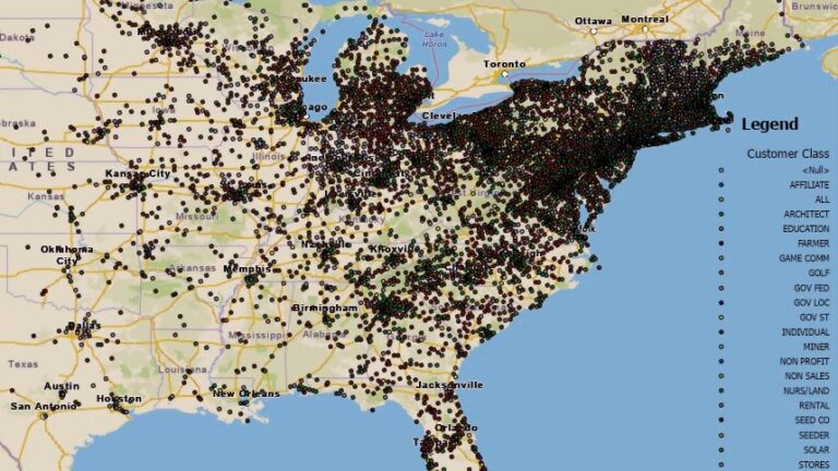
'Creating a GIS-centric culture at Ernst has changed how managers and operators work the fields,” says Katy Flaherty from Seeds. β€œWe aren’t only looking at maps and numbers, we’re utilizing and making the data work for us every day.” esri.social/suLS50R9wOL

'Creating a GIS-centric culture at Ernst has changed how managers and operators work the fields,” says Katy Flaherty from #Ernst Seeds. β€œWe aren’t only looking at maps and numbers, we’re utilizing and making the data work for us every day.” esri.social/suLS50R9wOL #ArcGIS
account_circle
GIS and Science(@GISandScience) 's Twitter Profile Photo

Explore dynamic ecosystem trends and patterns using the 's 2024 Indicator Tool. Dig into the , and explore the here: esri.social/qnX350R9pxy

Explore dynamic ecosystem trends and patterns using the #EPA's 2024 #ClimateChange Indicator Tool. Dig into the #data, and explore the #maps here: esri.social/qnX350R9pxy #ArcGIS
account_circle
GIS and Science(@GISandScience) 's Twitter Profile Photo

Join Dr. Dawn Wright, Jonathan Foley of Project Drawdown, Katharine Hayhoe of The Nature Conservancy and more to learn how you can use to drive climate action!🌱 Esri's free 'GIS for Climate Action' course opens again on May 1st. Register NOW: esri.social/uFVR50R9n9H

Join Dr. Dawn Wright, Jonathan Foley of Project Drawdown, Katharine Hayhoe of The Nature Conservancy and more to learn how you can use #GIS to drive climate action!🌱 Esri's free 'GIS for Climate Action' course opens again on May 1st. Register NOW: esri.social/uFVR50R9n9H
account_circle
GIS and Science(@GISandScience) 's Twitter Profile Photo

See how uses to integrate content, manage and analyze data, and share results that will shape the future of our earth. Go beyond : esri.social/t1Ni50R9uxZ

See how #Nasa uses #GIS to integrate content, manage and analyze data, and share results that will shape the future of our earth. Go beyond #mapping : esri.social/t1Ni50R9uxZ
account_circle
Dr. Dawn Wright + @deepseadawn.bsky.social πŸ‡ΊπŸ‡¦(@deepseadawn) 's Twitter Profile Photo

YES, climate action is still at the forefront at Esri! Read about our activities with the United Nations, Group on Earth Observations (GEO), IUCN, the 5th National Climate Assessment ( ), and more! ow.ly/B5ms30sBUEo

YES, climate action is still at the forefront at Esri! Read about our activities with the United Nations, Group on Earth Observations (GEO), IUCN, the 5th National Climate Assessment (#NCA5), and more! ow.ly/B5ms30sBUEo
account_circle
Dr. Dawn Wright + @deepseadawn.bsky.social πŸ‡ΊπŸ‡¦(@deepseadawn) 's Twitter Profile Photo

As ends

Restore local waters. Track pink dolphins. Study science.

Read interviews with the 2023 ArcGIS Competition winners for stories behind the stories.

Learn how people are protecting the planet, one story at a time: ow.ly/ueBB50Rp88j

account_circle
Dr. Dawn Wright + @deepseadawn.bsky.social πŸ‡ΊπŸ‡¦(@deepseadawn) 's Twitter Profile Photo

'The purpose of a university is the open expression and exchange of ideas. That is our fundamental purpose - and especially ideas that are contentious and that have consequences.'
-- Prof. Eleanor Stein
npr.org/2024/04/26/124…

account_circle