Capital Weather Gang(@capitalweather) 's Twitter Profileg
Capital Weather Gang

@capitalweather

D.C.-area and worldwide weather news from the Washington Post | contact: [email protected]

ID:15309804

linkhttps://www.washingtonpost.com/weather calendar_today03-07-2008 16:18:31

118,4K Tweets

1,1M Followers

2,6K Following

Follow People
Matthew Cappucci(@MatthewCappucci) 's Twitter Profile Photo

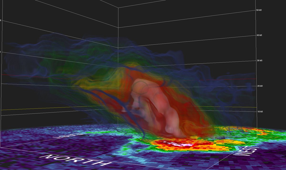
Ever wondered what we mean when we say “multi-vortex tornado?”

Each of these “subvortices” are like miniature tornadoes that orbit a common center. They add/subtract from main vortex’s spin, leading to narrow swaths of extreme damage.

Streamed LIVE in MyRadar Weather app!

account_circle
Capital Weather Gang(@capitalweather) 's Twitter Profile Photo

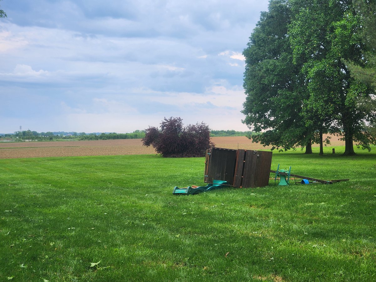
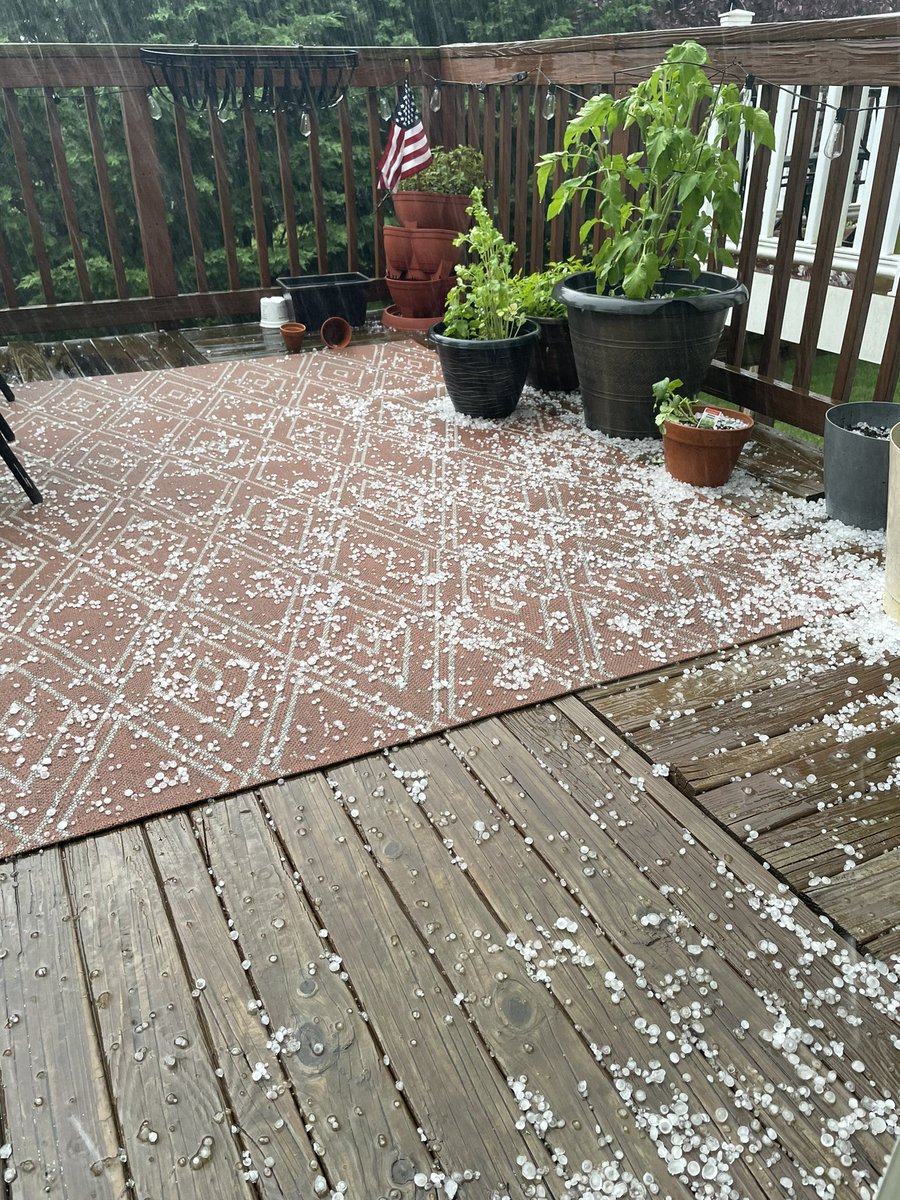
Intense storm hit Southern Frederick County in Md earlier this evening producing hail and strong wind gusts.

Here are a couple photos from Rebecca Ali in Adamstown.

Intense storm hit Southern Frederick County in Md earlier this evening producing hail and strong wind gusts. Here are a couple photos from Rebecca Ali in Adamstown.
account_circle
Capital Weather Gang(@capitalweather) 's Twitter Profile Photo

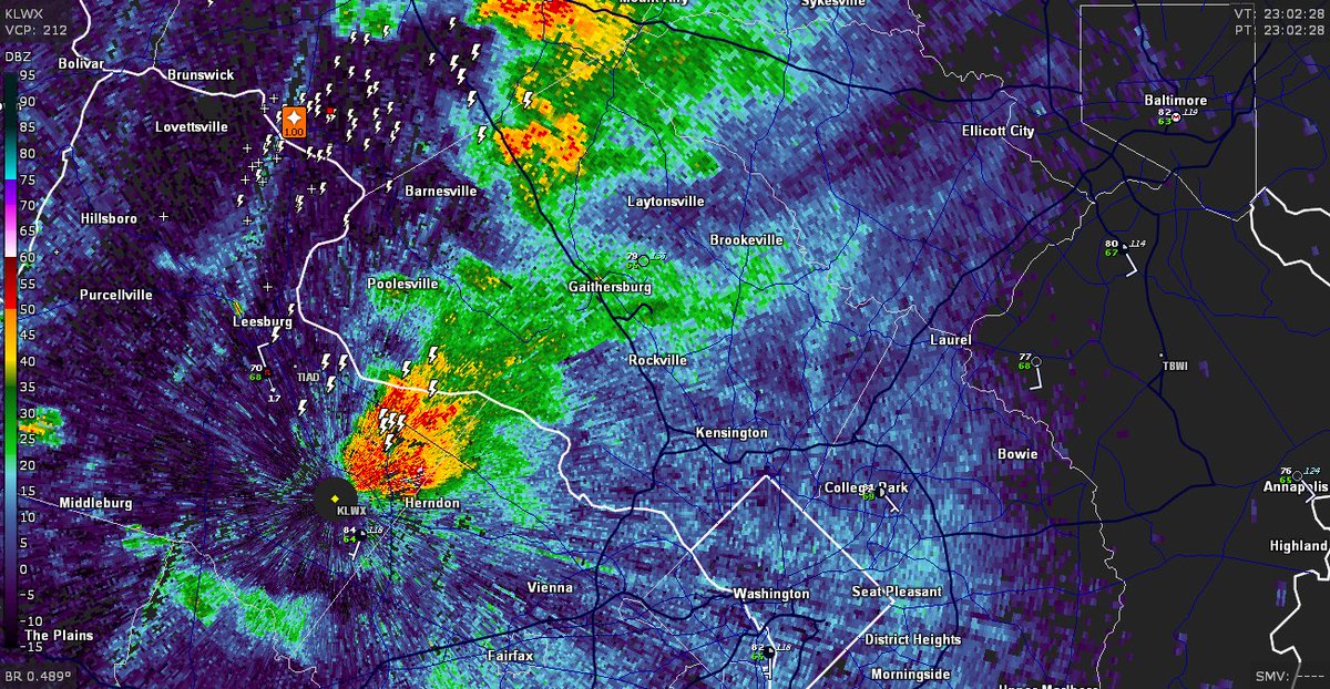
7:04 pm: Previously severe warned storm in Frederick County has weakened but another around Sterling is blossoming. It's tracking parallel to the Potomac about to enter Fairfax County.

7:04 pm: Previously severe warned storm in Frederick County has weakened but another around Sterling is blossoming. It's tracking parallel to the Potomac about to enter Fairfax County.
account_circle
Capital Weather Gang(@capitalweather) 's Twitter Profile Photo

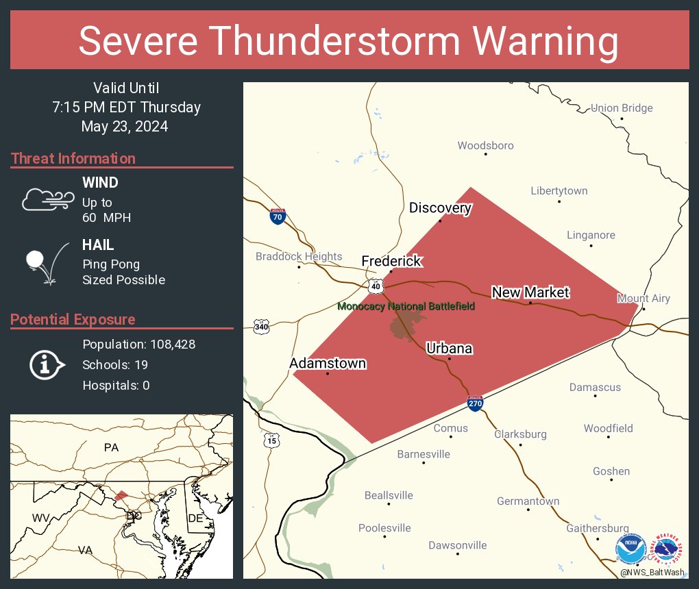
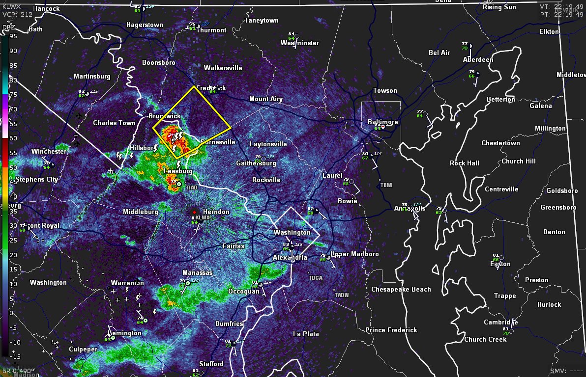
6:24 pm: A couple raindrops locally but potent storm in northern Loudoun County and moving into Frederick County. Severe storm warning for it until 645 p.m. for potential of damaging wind gusts. Point of Rocks to Ballenger Creek in line.

6:24 pm: A couple raindrops locally but potent storm in northern Loudoun County and moving into Frederick County. Severe storm warning for it until 645 p.m. for potential of damaging wind gusts. Point of Rocks to Ballenger Creek in line.
account_circle
Capital Weather Gang(@capitalweather) 's Twitter Profile Photo

705 tornadoes have formed this year, sixth-most on record to date. There will probably be quite a few more through the holiday weekend in the central states.

Might even have to watch for an outside chance in the Mid-Atlantic on Memorial Day ⬇️

washingtonpost.com/weather/2024/0…

account_circle
Capital Weather Gang(@capitalweather) 's Twitter Profile Photo

NOAA officials on the hurricane outlook:
'This season is looking to be an extraordinary one,” Rick Spinrad, NOAA

“All the ingredients are definitely in place to have an active season,' NWS Director

account_circle
Capital Weather Gang(@capitalweather) 's Twitter Profile Photo

BREAKING: NOAA is predicting extremely active Atlantic hurricane season with 17 to 25 named storms, 8 to 13 hurricane and 4 to 7 major hurricanes. It is its most aggressive May forecast ever made.

Read more ⬇️

washingtonpost.com/weather/2024/0…

account_circle
Capital Weather Gang(@capitalweather) 's Twitter Profile Photo

910a: A few showers passing through the DC area over next hour or so. No big deal. Could see some heavier activity later today.

account_circle