USGS Water Resources(@USGS_Water) 's Twitter Profileg
USGS Water Resources

@USGS_Water

Observing, understanding, predicting, delivering #WaterScience
💧Comment policy: https://t.co/fdMZuJnkZx
💧Posts do not=endorsements https://t.co/SEG5ZFX36x

ID:717107602203607040

linkhttps://www.usgs.gov/mission-areas/water-resources calendar_today04-04-2016 21:52:30

4,5K Tweets

7,0K Followers

59 Following

USGS Water Resources(@USGS_Water) 's Twitter Profile Photo

Happy !

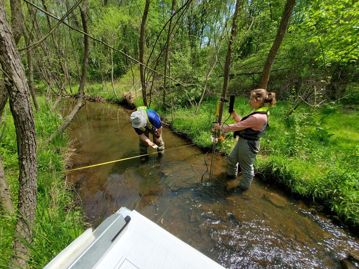
USGS scientists conduct a habitat survey at The Glade, an urban stream in Reston, Virginia.

Get the data: waterdata.usgs.gov/monitoring-loc…

📸 Brendan Foster

Happy #FieldPhotoFriday! @USGS scientists conduct a habitat survey at The Glade, an urban stream in Reston, Virginia. Get the data: waterdata.usgs.gov/monitoring-loc… 📸 Brendan Foster
account_circle
USGS Water Resources(@USGS_Water) 's Twitter Profile Photo

We study water quality in rivers that cross the US-Canadian border. Ecosystems and communities rely on the water, but there are concerns about the ecosystem health. Learn more about what we've studied and seen by exploring our : geonarrative.usgs.gov/transboundary/

We study water quality in rivers that cross the US-Canadian border. Ecosystems and communities rely on the water, but there are concerns about the ecosystem health. Learn more about what we've studied and seen by exploring our #storymap: geonarrative.usgs.gov/transboundary/
account_circle
USGS Water Resources(@USGS_Water) 's Twitter Profile Photo

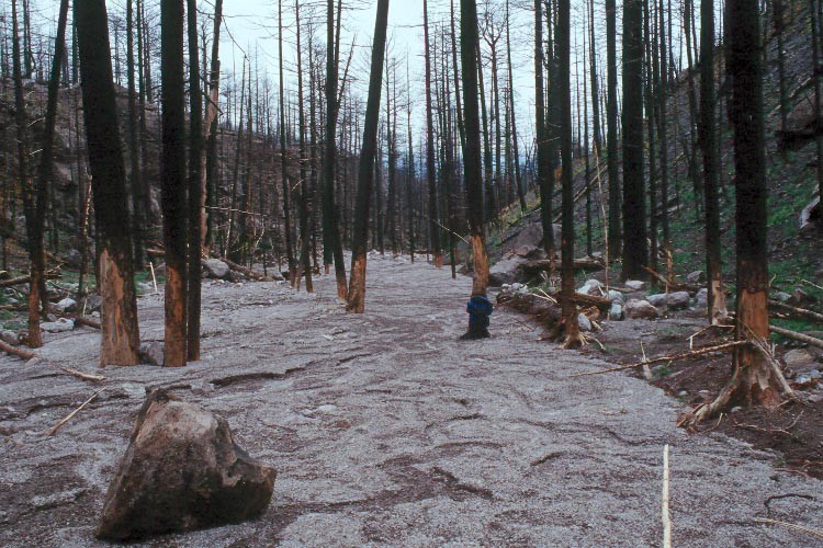
Today marks the 44th anniversary of the Mt. St. Helen’s eruption. 🌋

USGS studies what happens in watersheds after hazardous events like this. Learn more about hydrologic and erosion responses of burned watersheds: usgs.gov/mission-areas/…

Today marks the 44th anniversary of the Mt. St. Helen’s eruption. 🌋 @USGS studies what happens in watersheds after hazardous events like this. Learn more about hydrologic and erosion responses of burned watersheds: usgs.gov/mission-areas/…
account_circle
USGS Water Resources(@USGS_Water) 's Twitter Profile Photo

Happy !

Surveyors use an Acoustic Doppler Current Profiler (ADCP) mounted on a boat to measure the depth of the Connecticut river near Hanover, New Hampshire.
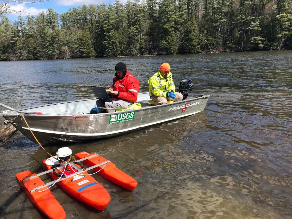
Happy #FieldPhotoFriday! Surveyors use an Acoustic Doppler Current Profiler (ADCP) mounted on a boat to measure the depth of the Connecticut river near Hanover, New Hampshire.
account_circle