MyRadar Weather(@MyRadarWX) 's Twitter Profileg
MyRadar Weather

@MyRadarWX

Keeping you ahead of the storm since 2009. Download for FREE!

ID:702278455

linkhttp://myradar.com/metdesk calendar_today18-07-2012 03:30:40

28,6K Tweets

120,6K Followers

854 Following

MyRadar Weather(@MyRadarWX) 's Twitter Profile Photo

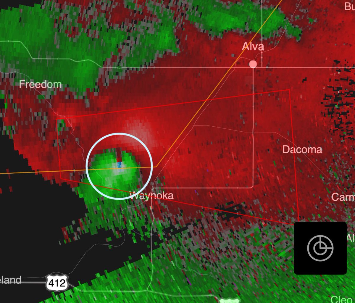
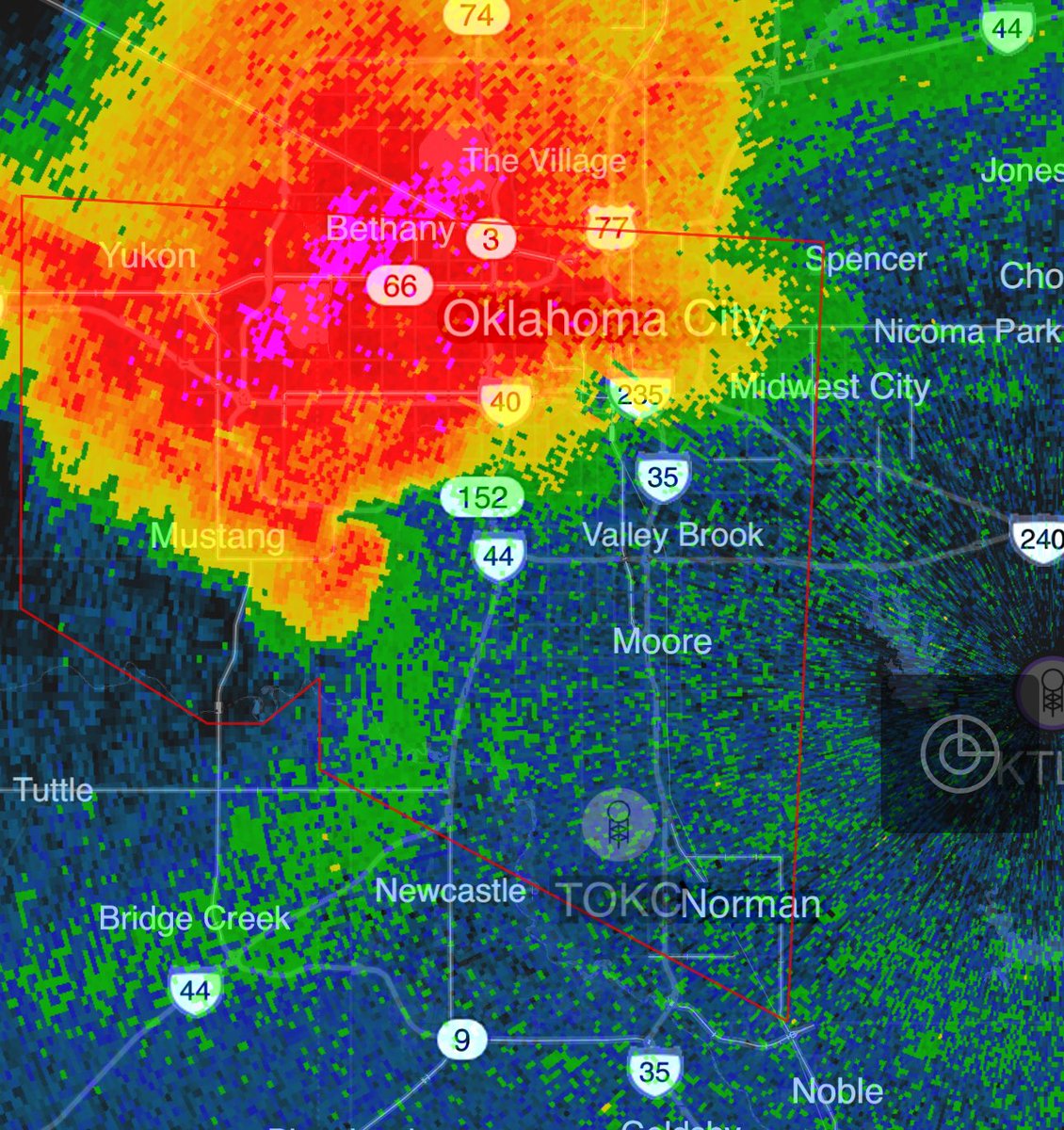
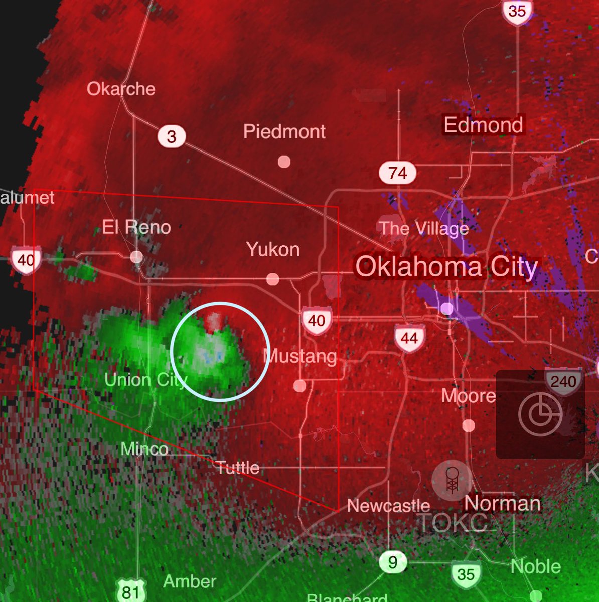
NEW: A tornado warning is now in effect for the immediate Oklahoma City area! This includes downtown OKC, Norman and Moore!

A new RFD surge, or cool air wraparound on the back side of the storm, is helping to tighten rotation once again.

This storm has been a tornado factory!

NEW: A tornado warning is now in effect for the immediate Oklahoma City area! This includes downtown OKC, Norman and Moore! A new RFD surge, or cool air wraparound on the back side of the storm, is helping to tighten rotation once again. This storm has been a tornado factory!
account_circle
Matthew Cappucci(@MatthewCappucci) 's Twitter Profile Photo

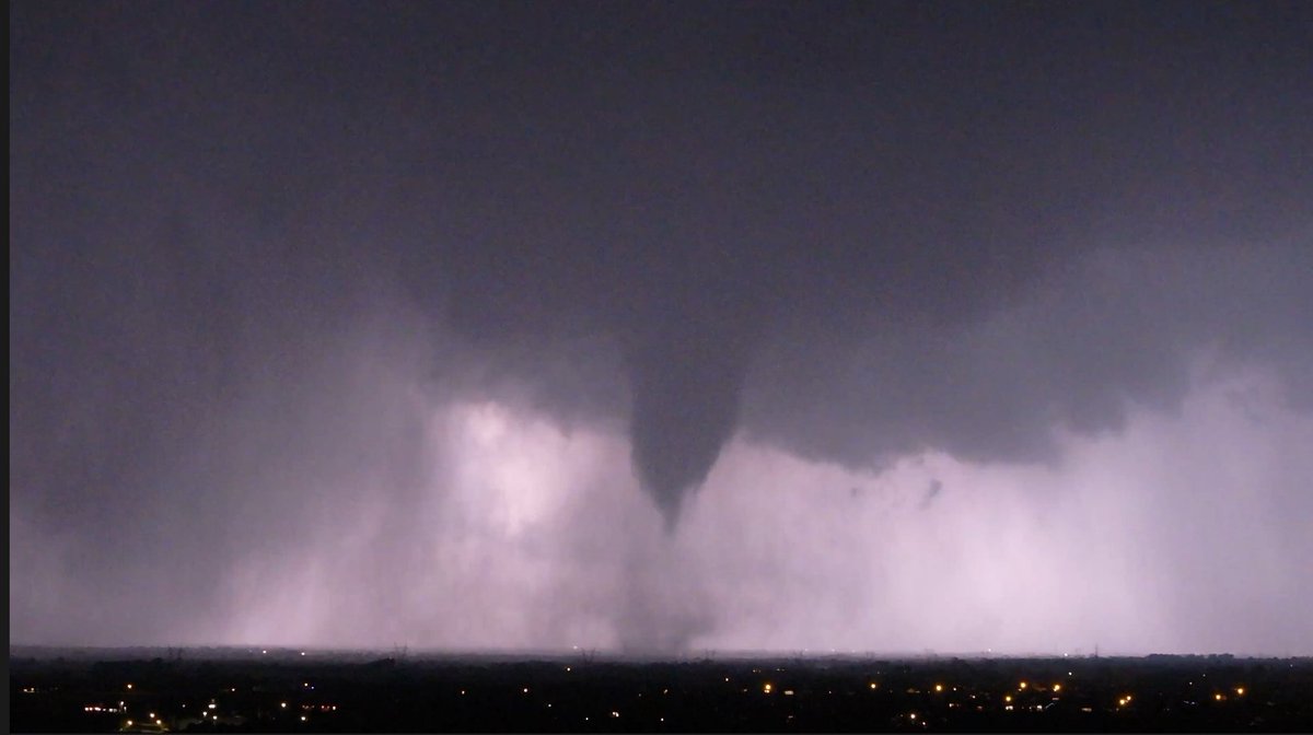
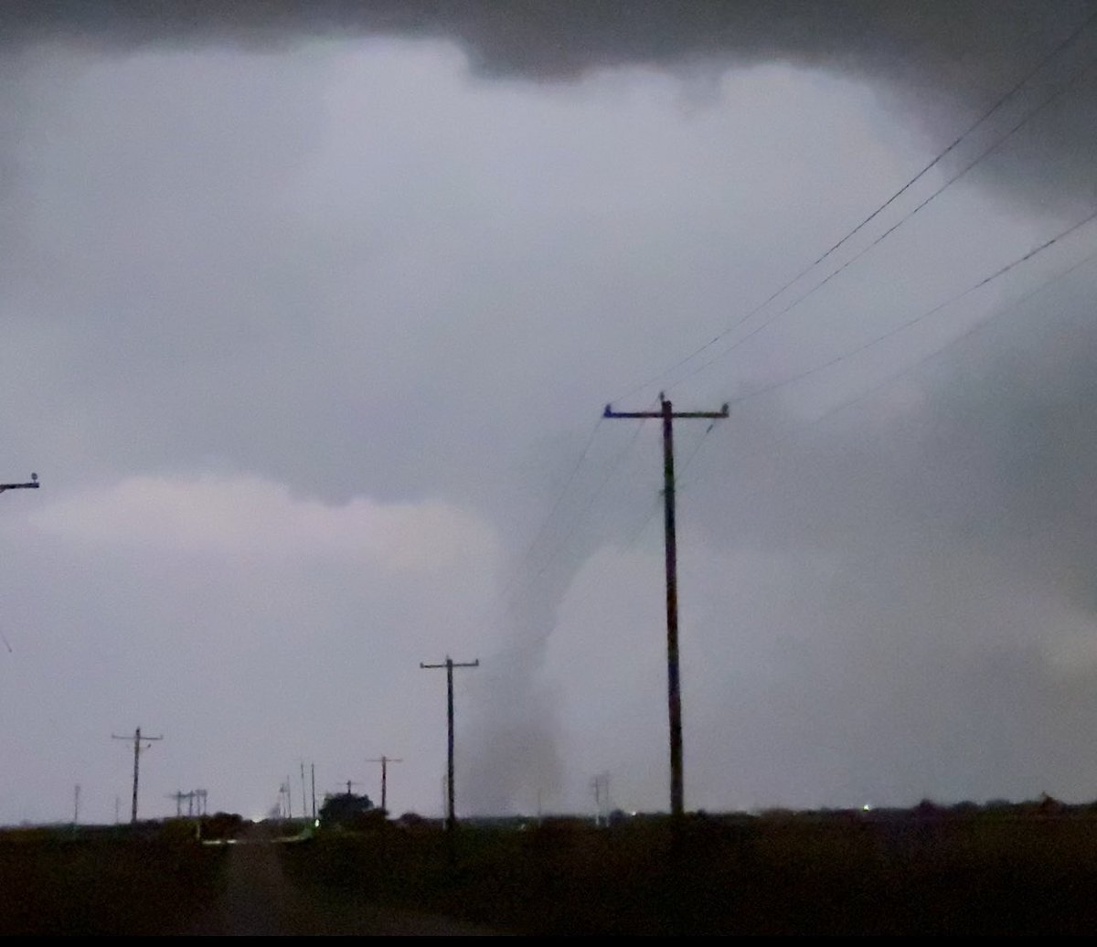
Now likely TWO tornadoes on the west side of OKC.

The northeast one, which is approaching the Yukon exits of I-40, is a powerful stovepipe. It may weaken soon.

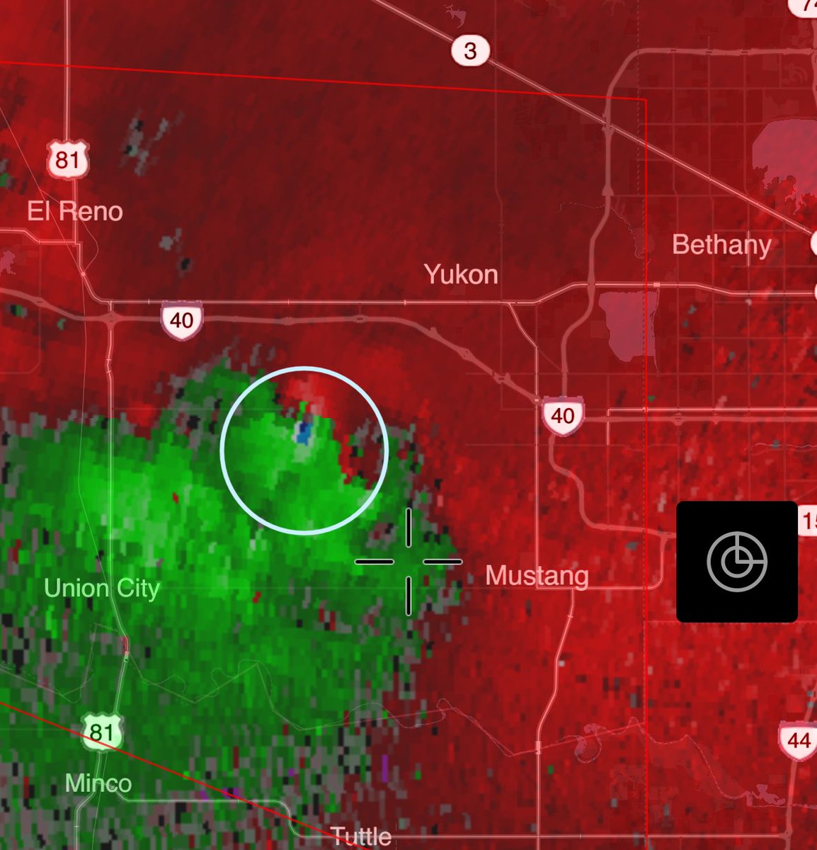
North of Union City, it appears a second tornado is incipient or occurring.

Wild storm-scale evolutions. MyRadar Weather
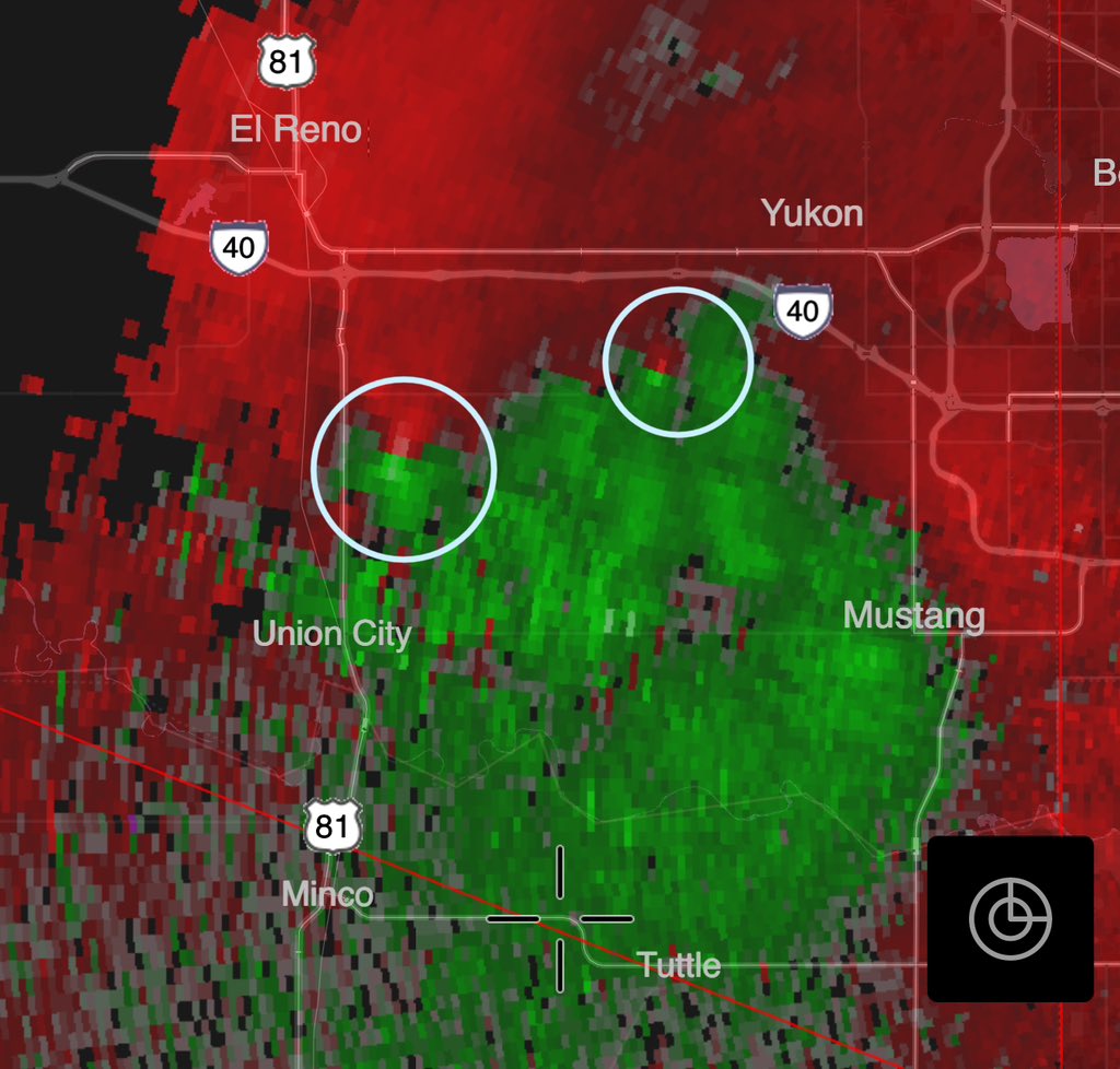
Now likely TWO tornadoes on the west side of OKC. The northeast one, which is approaching the Yukon exits of I-40, is a powerful stovepipe. It may weaken soon. North of Union City, it appears a second tornado is incipient or occurring. Wild storm-scale evolutions. @MyRadarWX
account_circle
MyRadar Weather(@MyRadarWX) 's Twitter Profile Photo

NEW: Confirmed entering the west side of the greater OKC metro!

Circulation could pass anywhere from near Yukon to Mustang, and is exhibiting tendencies for deviant motion.

Seek shelter NOW.

NEW: Confirmed #tornado entering the west side of the greater OKC metro! Circulation could pass anywhere from near Yukon to Mustang, and is exhibiting tendencies for deviant motion. Seek shelter NOW.
account_circle
MyRadar Weather(@MyRadarWX) 's Twitter Profile Photo

Tornado EMERGENCY for Custer City, Oklahoma! Tornado could also impact I-40 between Weatherford and Bridgeport if it turns right. Seek shelter NOW.

account_circle
MyRadar Weather(@MyRadarWX) 's Twitter Profile Photo

Destructive thunderstorm with 80+ mph gusts about to move into Iuka, Kansas. Considerable dust is present ahead of the storms:

account_circle
Hunter Hurley(@hunterhurleywx) 's Twitter Profile Photo

Full-on haboob ongoing right now east of Meade KS at 70mph+ winds pick up tons of dirt and dust. Watch LIVE on YouTube and on the MyRadar Weather weather application. youtube.com/live/kbpUk_5tt… KAKE News Meteorologist Brittany Foster

account_circle
MyRadar Weather(@MyRadarWX) 's Twitter Profile Photo

Large quantities of blowing dust in Ensign, Kansas as storms exhale strong winds. Meteorologist Matthew Cappucci is streaming live in the app:

account_circle
MyRadar Weather(@MyRadarWX) 's Twitter Profile Photo

Storms in western Kansas are “high-based” right now, but they will become increasingly surface-based and intensify as they push east.

Matthew Cappucci is tracking.

account_circle
MyRadar Weather(@MyRadarWX) 's Twitter Profile Photo

Multiple super cells have initiated Southwest of Arnett, Oklahoma. Deeper moisture is just east of these storms so as these storms progress to the east, we could see a tornado threat increase into the evening.

Jordan Hall

account_circle