Geospatial Commission(@GeospatialC) 's Twitter Profileg
Geospatial Commission

@GeospatialC

We are an expert committee within @SciTechgovuk that sets the UK’s geospatial strategy and promotes the best use of location data.

ID:1106227881947160576

linkhttps://www.gov.uk/government/organisations/geospatial-commission calendar_today14-03-2019 16:17:34

1,0K Tweets

3,9K Followers

274 Following

Geospatial Commission(@GeospatialC) 's Twitter Profile Photo

Yesterday, Jonathan Camrose met with energy sector leaders at the House of Lords.

They discussed the opportunities offered by advances in AI and digitalisation.

The minister also thanked the energy sector for their participation in the National Underground Asset Register.
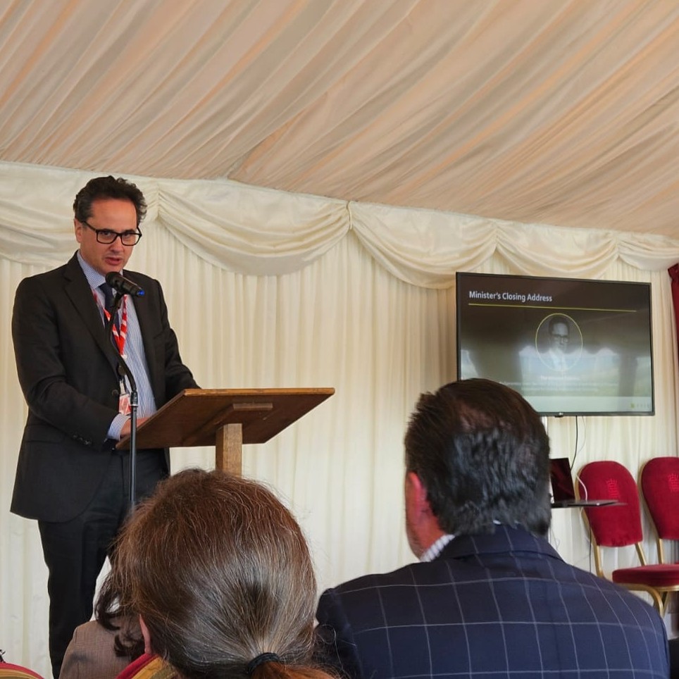
Yesterday, @JonathanCamrose met with energy sector leaders at the House of Lords. They discussed the opportunities offered by advances in AI and digitalisation. The minister also thanked the energy sector for their participation in the National Underground Asset Register.
account_circle
Geospatial Commission(@GeospatialC) 's Twitter Profile Photo

We recently sat down with Smart Water Magazine πŸ’§ to discuss how the National Underground Asset Register will:
πŸ’§ benefit the water utility sector
βŒ› make data available in circa 60 seconds
🀝 continue to improve with asset owners' feedback

Read the interview: πŸ‘‡
smartwatermagazine.com/news/govuk/und…

account_circle
Geospatial Commission(@GeospatialC) 's Twitter Profile Photo

There is still time to apply to become the new Chair of our Board of Commissioners.

The deadline is Tuesday 16 April.

Find our more: πŸ‘‡

account_circle
Geospatial Commission(@GeospatialC) 's Twitter Profile Photo

Do you have an idea for how National Underground Asset Register data could be used? There is still time to contribute suggestions to our NUAR Discovery Project but the final deadline for inputs is 29 April. Please email: [email protected]
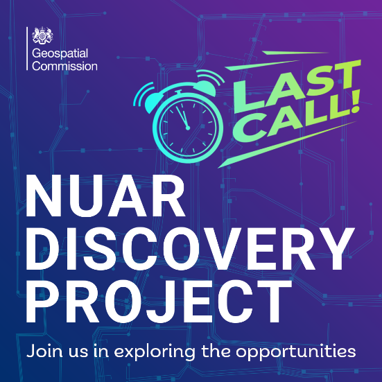
Do you have an idea for how National Underground Asset Register data could be used? There is still time to contribute suggestions to our NUAR Discovery Project but the final deadline for inputs is 29 April. Please email: nuardiscovery@atkinsrealis.com
account_circle
Geospatial Commission(@GeospatialC) 's Twitter Profile Photo

The Geospatial Commission are hiring a new Chair.

The Chair will be responsible for effective, strategic leadership of the Commission and providing expert, impartial advice to the government on geospatial data.

Deadline: Tuesday 16 April

Apply now: πŸ‘‡
saxbam.com/appointment/ge…

The Geospatial Commission are hiring a new Chair. The Chair will be responsible for effective, strategic leadership of the Commission and providing expert, impartial advice to the government on geospatial data. Deadline: Tuesday 16 April Apply now: πŸ‘‡ saxbam.com/appointment/ge…
account_circle
The Data Lab Community(@TDLCommunity) 's Twitter Profile Photo

2) Geospatial Commission -funded tool demonstrates potential for AI to transform decisions about land use

The Geospatial Commission and The Alan Turing Institute are exploring how artificial intelligence can be applied to support decisions about the UK’s land.
gov.uk/government/new…

account_circle
Xpansul(@Xpansul) 's Twitter Profile Photo

Data at the heart of land use decision making

Food, Farming and Countryside Commission + Geospatial Commission +
Vizzuality working together to create a data visualisation tool to help land managers better understand and use data for a in the UK
twitter.com/GeospatialC/st…

account_circle
Geospatial Commission(@GeospatialC) 's Twitter Profile Photo

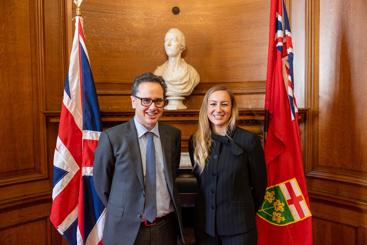
Last week Jonathan Camrose and Kinga Surma signed an agreement to share the knowledge and technology behind the National Underground Asset Register.

Find out more about the MoU, including how we will work with ON Infrastructure: πŸ‘‡
gov.uk/government/new…

Last week @JonathanCamrose and @KingaSurmaMPP signed an agreement to share the knowledge and technology behind the National Underground Asset Register. Find out more about the MoU, including how we will work with @ONinfra: πŸ‘‡ gov.uk/government/new…
account_circle
Ordnance Survey(@OrdnanceSurvey) 's Twitter Profile Photo

Introducing new OS data πŸŽ‰

🏦 Buildings enhancements
πŸ‘ Field Boundary data
🌳Land Cover attribution
🚊 Tram tracks on road attribution
🚨 OS Emergency Services Gazetteer
πŸ›£ OS Multi-modal Routing Network

Explore on the OS Data Hub: ow.ly/M6ff50R4e39

account_circle
Geospatial Commission(@GeospatialC) 's Twitter Profile Photo

πŸ†• Ordnance Survey have today released new location datasets that will help deliver improved public services.

The new data and products will support:
πŸš’ emergency services
🌍 sustainability
🏑 land management

Discover more: πŸ‘‡
gov.uk/government/new…

πŸ†• @OrdnanceSurvey have today released new location datasets that will help deliver improved public services. The new data and products will support: πŸš’ emergency services 🌍 sustainability 🏑 land management Discover more: πŸ‘‡ gov.uk/government/new…
account_circle
Geospatial Commission(@GeospatialC) 's Twitter Profile Photo

The has come to a close.

Thank you to all our speakers and Bluesky, British Geological Survey, Europa Technologies, FYLD, Space4Climate and Sogelink for showcasing their exciting tech.

Over the two days we discussed how geospatial technology can improve global resilience.

The #GeoSummit24 has come to a close. Thank you to all our speakers and @Bluesky_int, @BritGeoSurvey, @europatech, @FYLD_ai, @Space4Climate and Sogelink for showcasing their exciting tech. Over the two days we discussed how geospatial technology can improve global resilience.
account_circle
Dr Ruth Kattumuri(@KattumuriRuth) 's Twitter Profile Photo

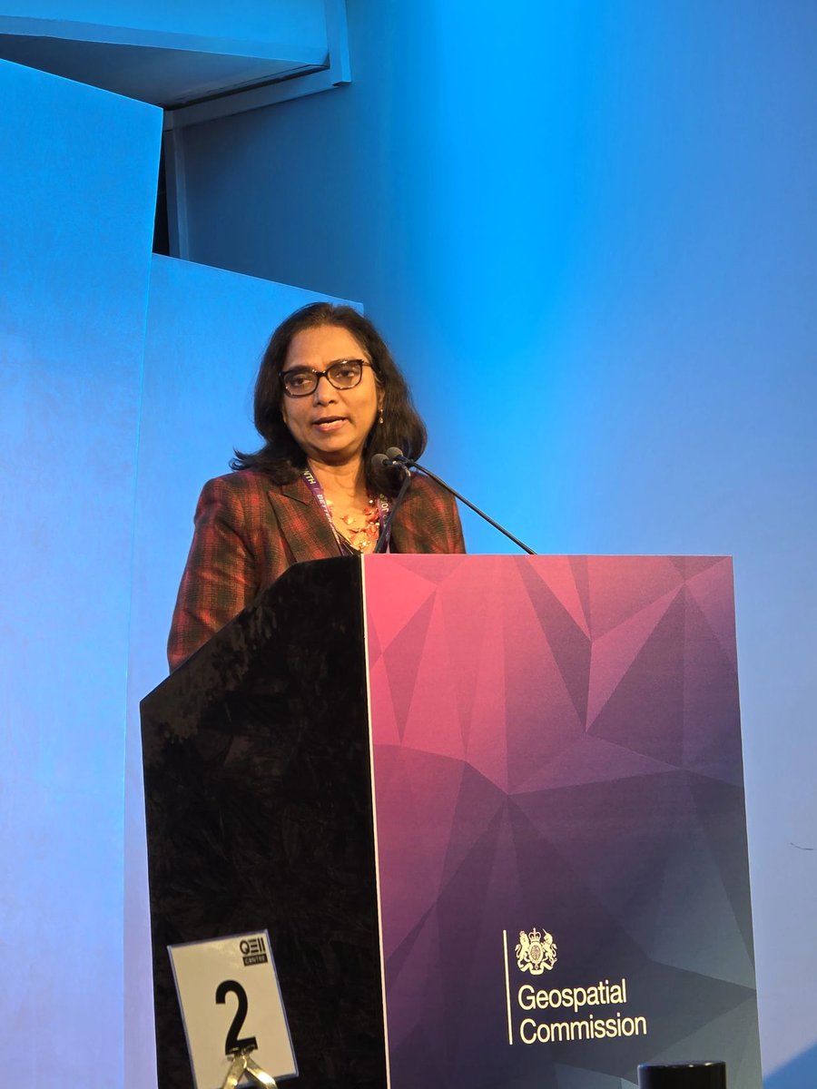
hazards, insecurity and rising sea levels disproportionately affect many countries.
The Geospatial Summit brought together relevant partners to discuss innovative tech solutions to address these global challenges.

#Natural hazards, #food insecurity and rising sea levels disproportionately affect many #Commonwealth countries. The Geospatial Summit brought together relevant partners to discuss innovative #geospatial tech solutions to address these global challenges.
account_circle
Government Office for Technology Transfer(@UKGovGOTT) 's Twitter Profile Photo

Having been supporting talks between Geospatial Commission Commission and ON Infrastructure , we are delighted to hear that they have signed an agreement to share the technology behind the National Underground Asset Register πŸ—ΊοΈ.

account_circle
Jonathan Camrose(@JonathanCamrose) 's Twitter Profile Photo

Brilliant to meet Kinga Surma today and sign a new agreement with Ontario for the UK to share the knowledge and technology behind the National Underground Asset Register.

NUAR is a great example of UK innovation that improves public services and grows the economy.
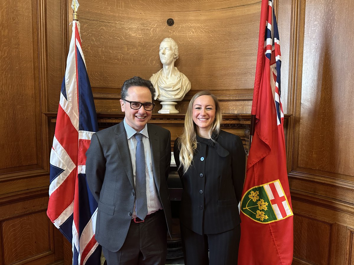
Brilliant to meet @KingaSurmaMPP today and sign a new agreement with Ontario for the UK to share the knowledge and technology behind the National Underground Asset Register. NUAR is a great example of UK innovation that improves public services and grows the economy.
account_circle